
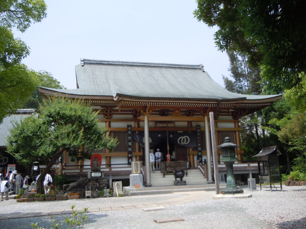
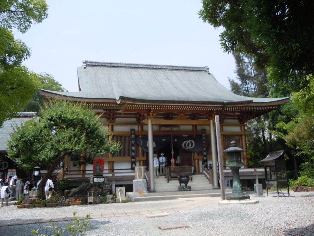
Zenrakuji Temple Information
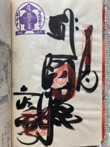
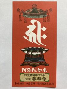
Goshuin
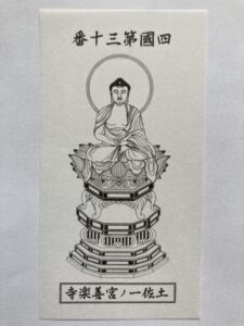
- Omie
- 1,200th Anniversary Edition
Basic Information
| Principal Deity | Amida Nyorai |
| Elevation | 20 m |
| Google Maps | MAP |
Accommodation
| Shukubo (Temple Lodging) | Not Available |
| Tsuyado (Free Pilgrim Shelter) | Not Available |
History & Highlights
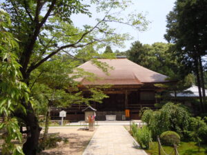
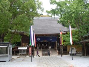
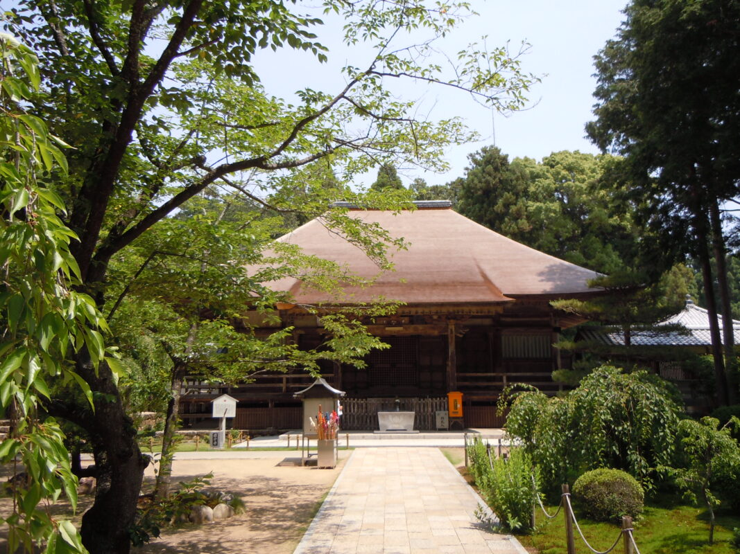
Zenrakuji is an ancient temple founded by Kōbō Daishi during the Daidō era (806–810) as the bettōji (associated Buddhist temple) of Tosa Ichinomiya Takakamo Daimyōjin Shrine. After falling into decline during the Haibutsu Kishaku movement, which suppressed Buddhism in the early Meiji period, the temple was rebuilt in the Shōwa era. In 1994, it was officially restored as Temple No. 30 of the Shikoku 88 Temple Pilgrimage. Today, Zenrakuji is also widely revered for its Yakuyoke Daishi (protector against misfortune) and Koyasu Jizō, who is prayed to for safe childbirth and the well-being of children.
Route Map, Distance & Travel Time
You can switch between the tabs to view the routes to the previous and next temples.
Select “Driving Route” from the map’s upper-left menu to display the driving route.
Click the Full Screen icon in the upper-right corner of the map to open it in Google Maps for a larger, easier-to-view map.
- From Previous Temple
- To Next Temple
Previous Temple: Kokubunji
| Distance | 6.9 km |
| Walking | 2 hr |
| Driving | 30 min |
Next Temple: Chikurinji
| Distance | 6.6 km |
| Walking | 2 hr |
| Driving | 30 min |
Transportation Guide
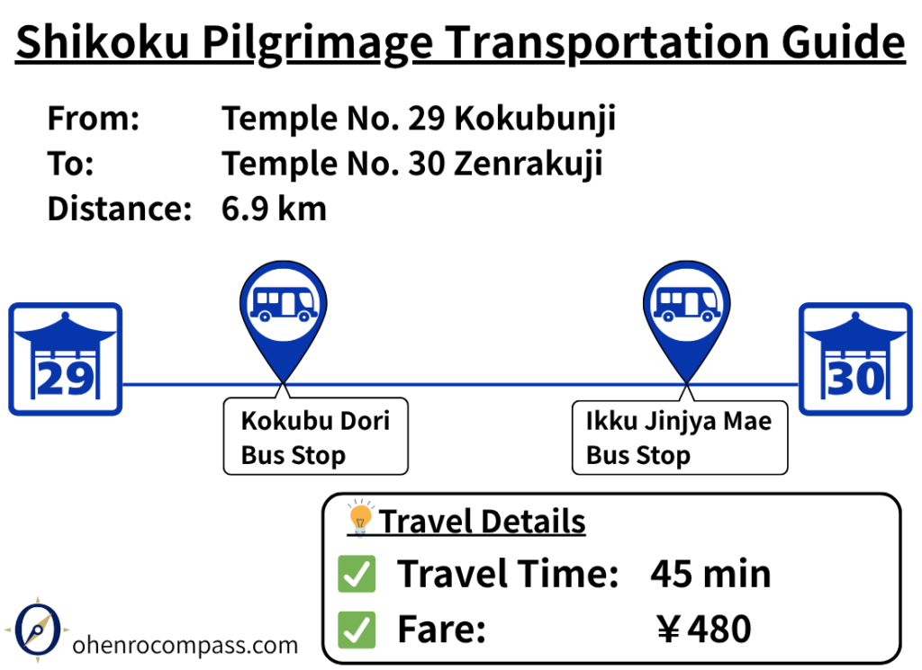
Learn how to travel from the 29th temple, Kokubunji, to the 30th temple, Zenrakuji, by bus. About 45 minutes and ¥480, including fares, travel times, and route information.
My Walking Experience
Walking the Historic Tosa Kita Kaidō
The route from Kokubunji to Zenrakuji is approximately 7 km (4.3 miles) long. Following the historic Tosa Kita Kaidō westward, this section retains the charm of the traditional pilgrimage route and is highly recommended for walking pilgrims.
The path winds through peaceful rice fields and along narrow irrigation canals. Since many sections are closed to vehicle traffic, it is a safe and pleasant route to walk. Be sure to refer to the route map in this article as you make your way.
Use the Pedestrian Underpass
Shortly after leaving Kokubunji, you’ll need to cross National Route 32. Instead of making a long detour to the nearest crosswalk, you can conveniently use the pedestrian underpass beneath the road.
Kamahara Rest Area
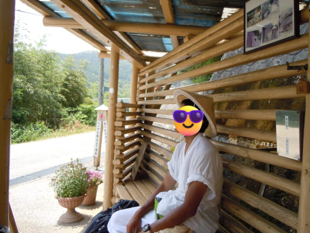
About 5 km (3.1 miles) from Kokubunji, you’ll come to the Kamahara Rest Area. This distinctive wooden shelter features a long, narrow design with lattice-style walls.
I stopped here to take off my backpack and enjoy a short break. With only about 2 km (1.2 miles) remaining to Zenrakuji, it makes an ideal final rest stop before reaching the temple.
Nearby Accommodation
If you plan to stay near Zenrakuji or between the surrounding pilgrimage temples, see the article below.
Related Articles
Shikoku 88 Temple Pilgrimage Route: Full List, Distance & Walking Time Guide.
Temple List and Full Route
Comments