
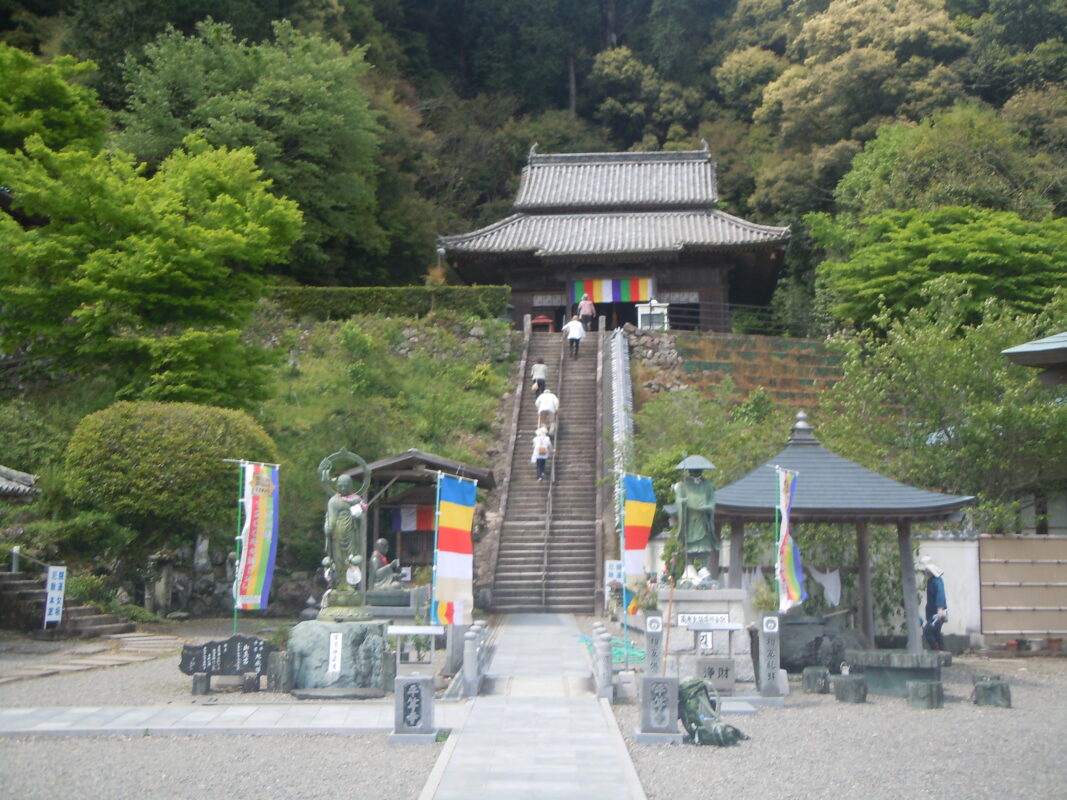
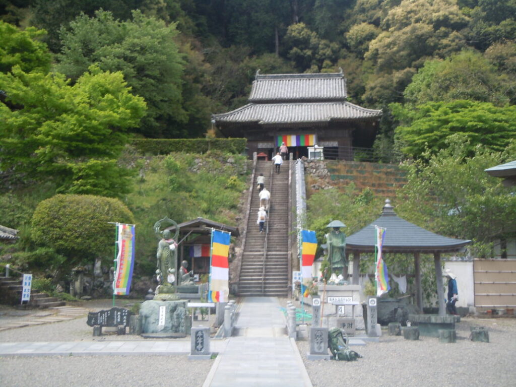
Byodoji Temple Information
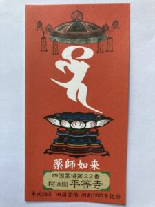
Goshuin
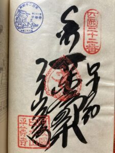
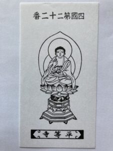
- Omie
- 1,200th Anniversary Edition
Basic Information
| Principal Deity | Yakushi Nyorai |
| Elevation | 60 m |
| Google Maps | MAP |
Accommodation
| Shukubo (Temple Lodging) | Available |
| Tsuyado (Free Pilgrim Shelter) | Not Available |
History & Highlights
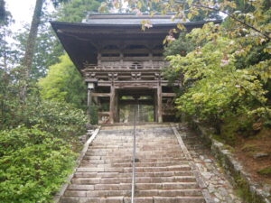
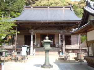
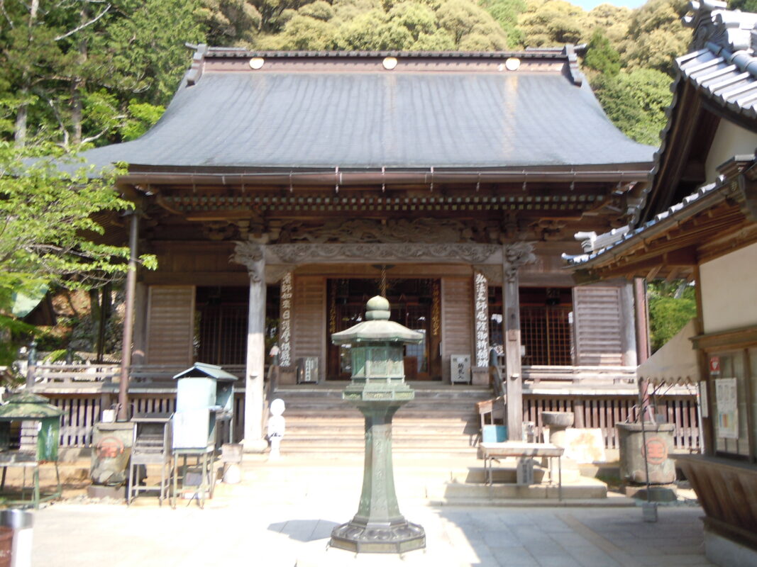
Byodoji is an ancient temple said to have been founded by Kōbō Daishi, who carved an image of Yakushi Nyorai (the Buddha of Healing) and vowed to “heal the body and mind of all people equally.” The temple is known for the sacred spring water called “Kōbō no Reisui” (Kōbō Daishi’s Sacred Water) and was restored during the Edo period.
Route Map, Distance & Travel Time
You can switch between the tabs to view the routes to the previous and next temples.
Select “Driving Route” from the map’s upper-left menu to display the driving route.
Click the Full Screen icon in the upper-right corner of the map to open it in Google Maps for a larger, easier-to-view map.
- From Previous Temple
- To Next Temple
Previous Temple: Tairyuji
| Distance | 10.9 km |
| Walking | 4 hr |
| Driving | 25 min |
Next Temple: Yakuoji
| Distance | 19.7 km |
| Walking | 6 hr 20 min |
| Driving | 30 min |
Transportation Guide
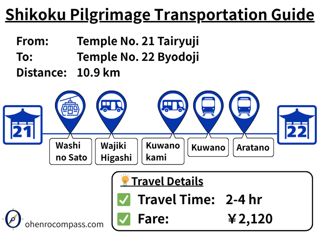
Find the train, bus and ropeway route from 21st Temple Tairyuji to 22nd Temple Byodoji on the Shikoku Pilgrimage. Travel takes about 2–4 hours and costs ¥2,120. Includes transfer information, timetables, and a comparison with the walking route.
My Walking Experience
Four Route Combinations from Tairyuji to Byodoji
From Tairyuji to Byodoji, there are two route options for the first half and two options for the second half, creating a total of four possible route combinations.
All routes are shown on the route map in this article, so you can choose the one that best matches your walking style and plans.
| Section | Route | Features | Recommended for |
|---|---|---|---|
| First half 1 | Shashin-ga-take | A traditional pilgrimage trail connected to Kōbō Daishi | Those who want to experience the history and spirituality of the pilgrimage |
| First half 2 | Prefectural Route 28 | Convenient access to nearby guesthouses | Those planning to stay overnight |
| Second half 1 | Ōne Pass | Shorter distance but includes a mountain pass crossing | Experienced walkers and those comfortable with climbs |
| Second half 2 | National Route 195 | Less elevation change and easier walking | Those who prioritize comfort and easier terrain |
First Half Route ①: Pilgrimage Trail via Shashin-ga-take
The first option is a pilgrimage trail that descends south from Tairyuji. Along the way, you can visit Shashin-ga-take, where a seated statue of Kōbō Daishi in meditation is enshrined.
Shashin-ga-take is believed to be a place where Kōbō Daishi practiced the Kokūzō Gumonjihō (Ākāśagarbha Memory and Wisdom Ritual) during his ascetic training. This route is recommended for pilgrims who want to experience the history and spiritual atmosphere of the Shikoku Pilgrimage.
First Half Route ②: Route via Prefectural Route 28
The second option is a route that descends east from Tairyuji and continues along Prefectural Route 28.
There are popular minshuku (Japanese-style guesthouses) for walking pilgrims near the foot of the mountain, making this route a convenient choice for those planning to stay overnight.
First Resupply Point
About 6 km after descending from Tairyuji, you will reach Roadside Station Wajiki. This is the first resupply point after the mountainous section from Kakurinji and Tairyuji, where you can find a restaurant, shop, and vending machines.
The route splits into the two second-half options (Ōne Pass and National Route 195) beyond this point, so whichever route you choose, it is a good idea to stock up on food and drinks here.
I also stopped at the restaurant for a light meal and a rest before continuing on to Byodoji.
Second Half Route ①: Pilgrimage Trail over Ōne Pass
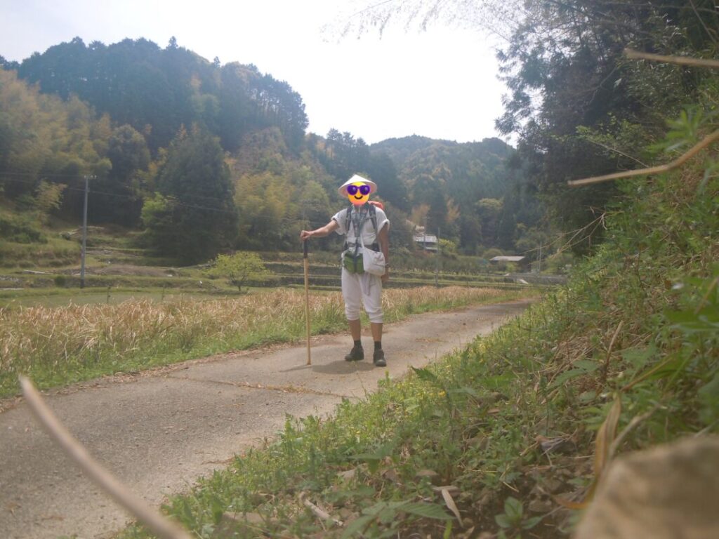
The first option is a traditional pilgrimage trail that crosses Ōne Pass. Although you need to climb over the pass, which reaches an elevation of approximately 300 meters (985 ft), the route is slightly shorter because it cuts directly through the mountains.
I walked this route myself and found it especially memorable. The trail passes through a natural forest environment and offers the feeling of walking along an old pilgrimage path.
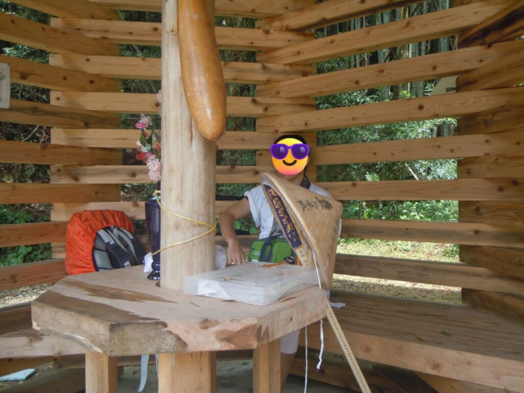
After crossing Ōne Pass, there is a henro hut where pilgrims can take a rest. I visited on a sunny spring day, but the open design using natural wood provided good ventilation, making it a very comfortable place to stop and recover.
Second Half Route ②: National Route 195
The second option is the route along National Route 195. Although it takes a longer distance because it goes around the mountains, it has less elevation change and is easier to walk.
Which Route Should You Choose?
For those who want to experience traditional pilgrimage trails and the history of the Shikoku Pilgrimage, the Shashin-ga-take Route and Ōne Pass Route are recommended.
For those who want to conserve energy or are planning to stay overnight along the way, the Prefectural Route 28 Route and National Route 195 Route are better choices.
Nearby Accommodation
If you plan to stay near Byodoji or between the surrounding pilgrimage temples, see the article below.
Related Articles
Shikoku 88 Temple Pilgrimage Route: Full List, Distance & Walking Time Guide.
Temple List and Full Route
Comments