
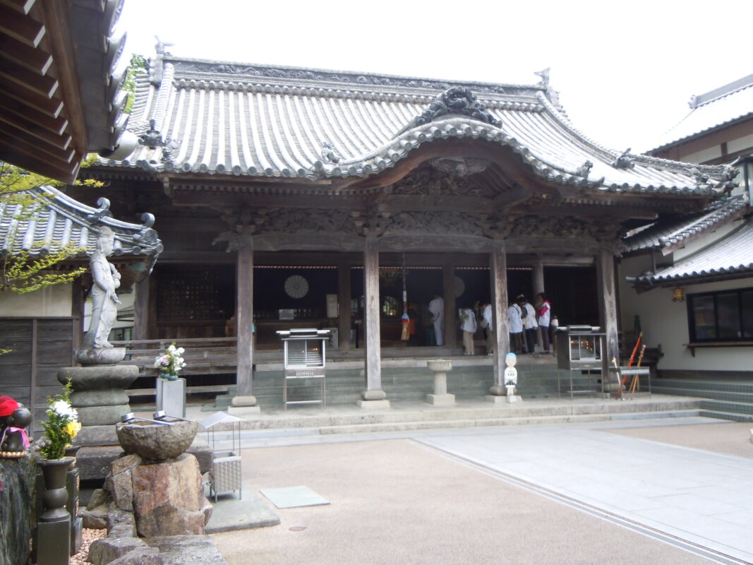
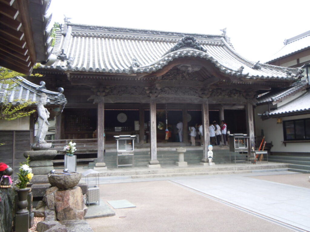
Dainichiji Temple Information
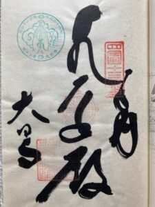
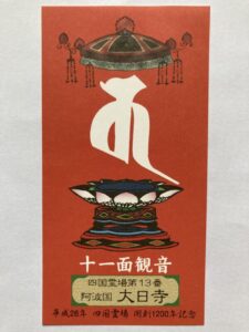
Goshuin
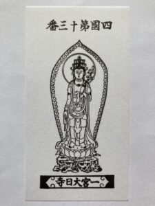
- Omie
- 1,200th Anniversary Edition
Basic Information
| Principal Deity | Jūichimen Kannon |
| Elevation | 30 m |
| Google Maps | MAP |
Accommodation
| Shukubo (Temple Lodging) | Available |
| Tsuyado (Free Pilgrim Shelter) | Not Available |
History & Highlights
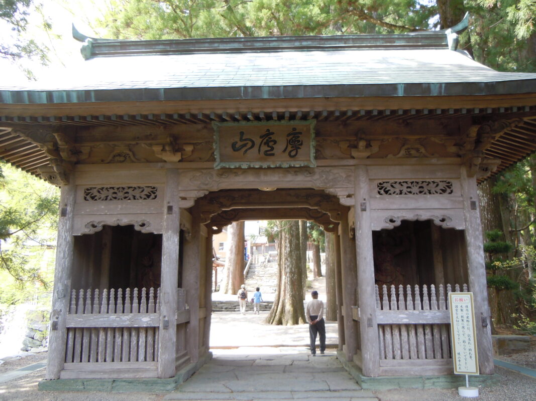
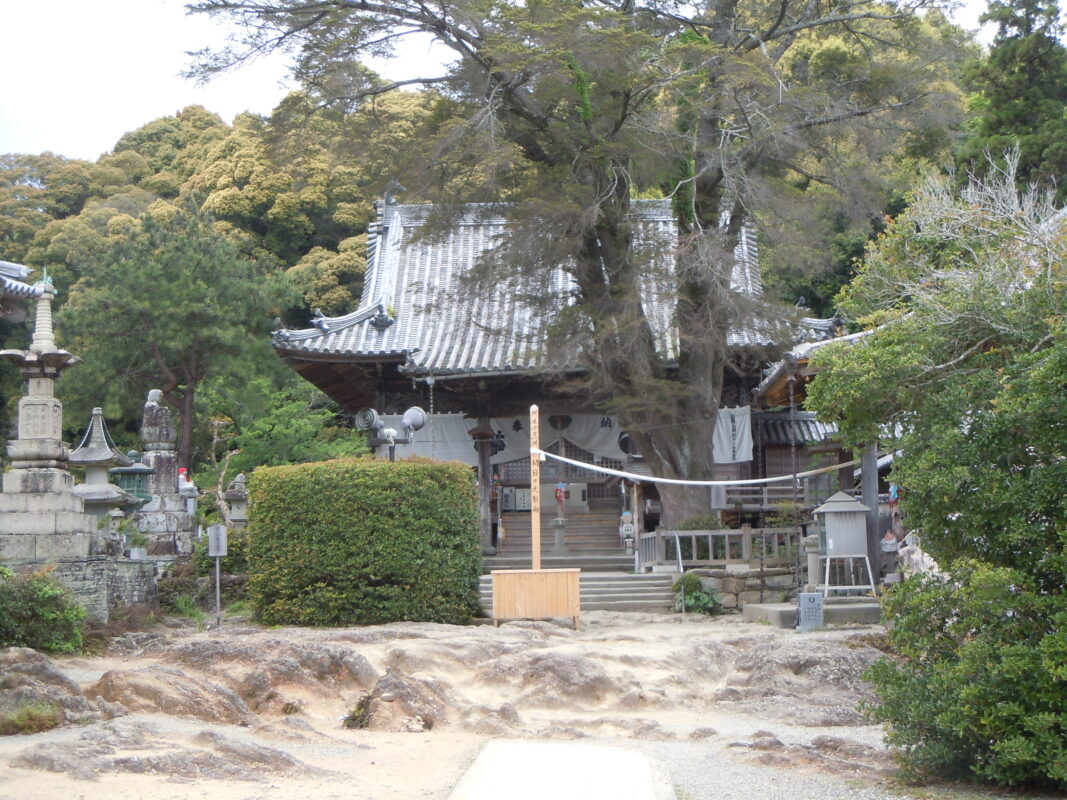
Dainichiji is an ancient temple said to have been founded by Kōbō Daishi after receiving a divine revelation of Dainichi Nyorai (Mahāvairocana Buddha). After being destroyed during a period of war, it was rebuilt and once flourished as the bettōji (administrative temple) of Ichinomiya Shrine. Today, the temple’s principal image is Jūichimen Kannon (Eleven-Headed Avalokiteśvara), and it preserves the rich history of Shinto–Buddhist syncretism in Japan.
Route Map, Distance & Travel Time
You can switch between the tabs to view the routes to the previous and next temples.
Select “Driving Route” from the map’s upper-left menu to display the driving route.
Click the Full Screen icon in the upper-right corner of the map to open it in Google Maps for a larger, easier-to-view map.
- From Previous Temple
- To Next Temple
Previous Temple: Shosanji
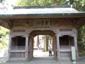
| Distance | 20.8 km |
| Walking | 6 hr |
| Driving | 1 hr |
Next Temple: Jorakuji
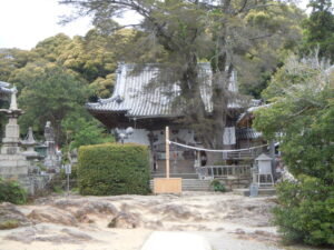
| Distance | 2.3 km |
| Walking | 40 min |
| Driving | 10 min |
Transportation Guide
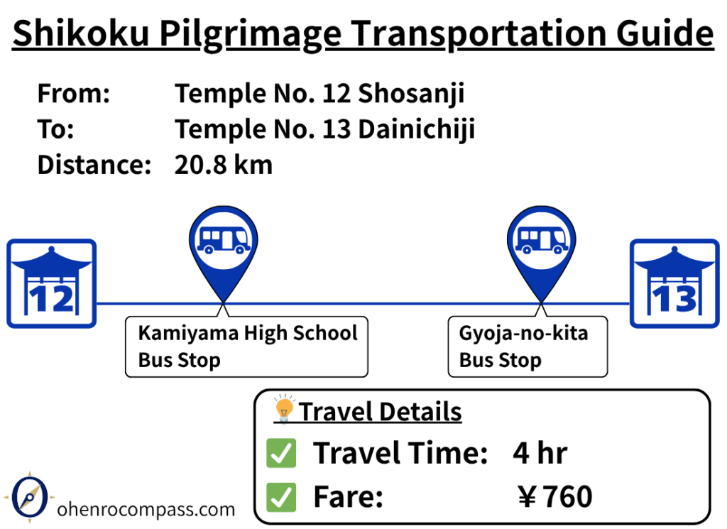
Find the bus route from Temple 12, Shosanji, to Temple 13, Dainichiji, on the Shikoku Pilgrimage. See fares, timetables, walking distances, travel times, and route options.
My Walking Experience
A Steep Descent to Sōuchi
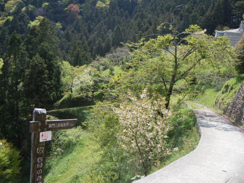
The rugged mountain trail continues from Shosanji to Dainichiji. After leaving the temple, the route descends steeply all the way to the Sōuchi area.
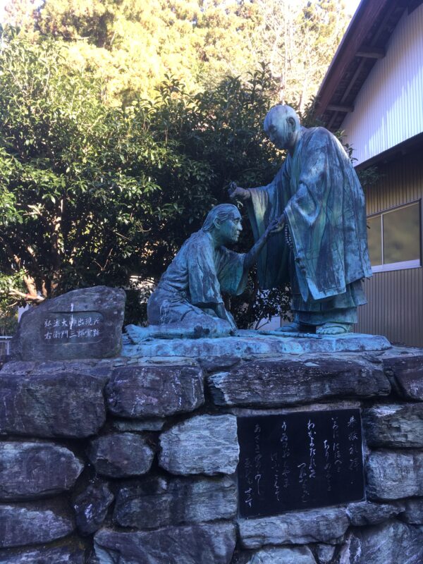
Along the way, you’ll come to Joshin-an, a small hermitage associated with the famous legend of Emon Saburō and Kōbō Daishi. If time permits, it’s well worth stopping to experience one of the best-known stories of the Shikoku Pilgrimage.
Tamagatōge: The Final Challenge
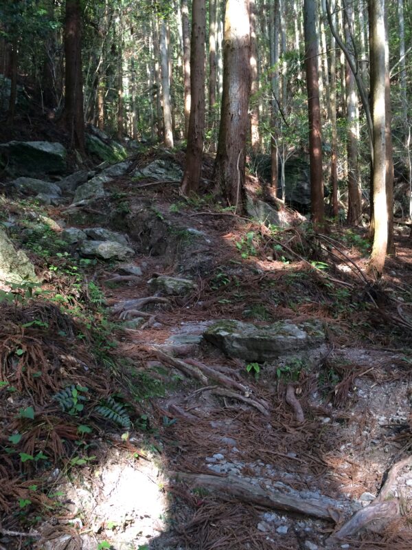
After descending approximately 4 km to the Sōuchi area, you’ll face Tamagatōge Pass, the final uphill section of this route.
I walked this stage continuously from Fujii-dera (Temple No. 11), so by the time I reached this climb, I was already quite exhausted. If you’re not confident in your stamina, consider spending the night at Shosanji’s shukubō (temple lodging) or in the Sōuchi area before tackling this section. Breaking up the journey makes the walk much more manageable.
Kamiyama Pilgrim Hut and Camping
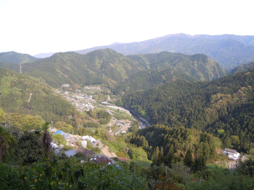
After crossing Tamagatōge Pass, the route becomes a gentle downhill walk. Around 7 km from the pass, you’ll reach Kamiyama, where there is a pilgrim hut with beautiful views. Overnight camping is also permitted there.
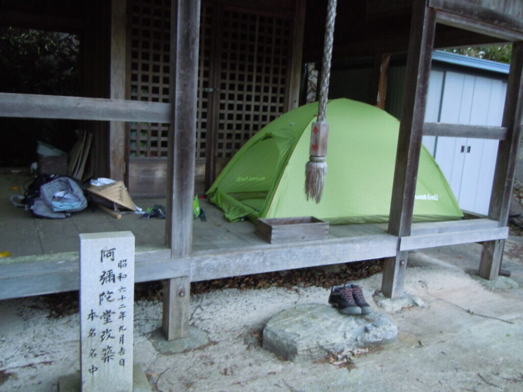
I continued a little farther and camped under the eaves of Amida Hall. A public restroom was located nearby, making it a convenient and comfortable place to spend the night.
Walking the Pilgrimage Trail via Komasaka Bridge
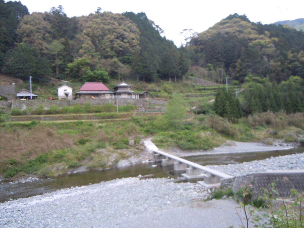
The second half of the route follows the Ayukui River for about 10 km before reaching Dainichiji.
Along the way, the pilgrimage route includes a section that does not appear on Google Maps, allowing you to cross Komasaka Bridge, a traditional submersible bridge (chinka-bashi). By following the route map in this article and the pilgrimage signposts along the trail, you should have no difficulty finding your way.
Pilgrim Hut Near Dainichiji
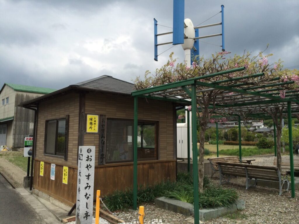
Just before reaching Dainichiji, you’ll find a pilgrim hut called Oyasuminashi-tei. Although overnight camping is not permitted, it is an excellent place to take a break. After a long day of walking, simply taking off your backpack and resting for a while can make a big difference.
When I stopped there early one morning, I had the chance to chat with a local resident who was cleaning the hut. They told me that there is a wisteria arbor behind the shelter, where a rare variety of pink wisteria blooms in spring. If you’re visiting during the flowering season, it’s well worth taking a look.
No Resupply Points on This Section
There are no convenience stores, restaurants, or other resupply points along this section of the pilgrimage route. If you plan to camp overnight, it’s a good idea to purchase enough food for two or three meals before heading toward Fujii-dera (Temple No. 11). This will help ensure you have adequate supplies until you reach the next area with shops and services.
Nearby Accommodation
If you plan to stay near Dainichiji or between the surrounding pilgrimage temples, see the article below.
Related Articles
Shikoku 88 Temple Pilgrimage Route: Full List, Distance & Walking Time Guide.
Temple List and Full Route
Why Do Some Temples Have the Same Name on the Shikoku Pilgrimage?
Why Do Temples Have the Same Name?
Comments