
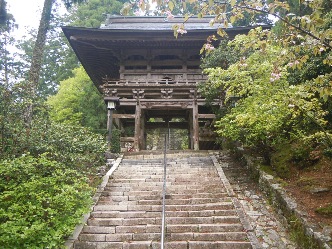
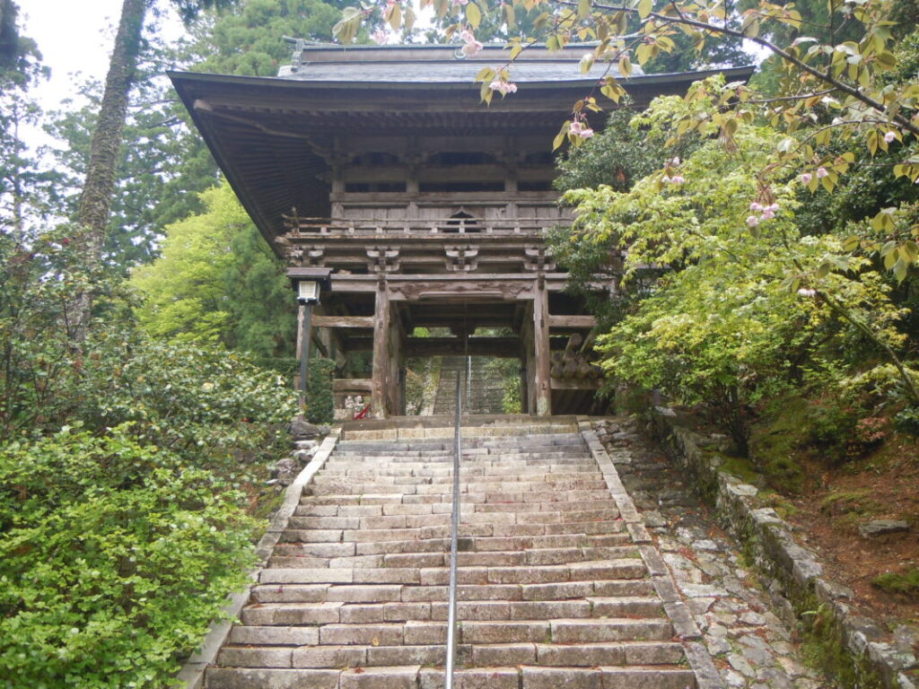
Tairyuji Temple Information
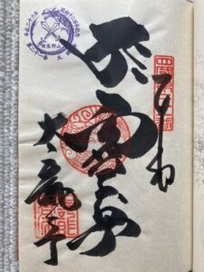
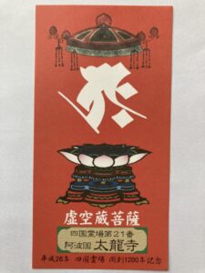
Goshuin
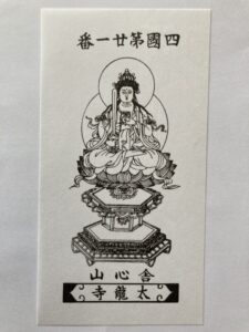
- Omie
- 1,200th Anniversary Edition
Basic Information
| Principal Deity | Kokuzo Bosatsu |
| Elevation | 520 m |
| Google Maps | MAP |
Accommodation
| Shukubo (Temple Lodging) | Not Available |
| Tsuyado (Free Pilgrim Shelter) | Not Available |
History & Highlights
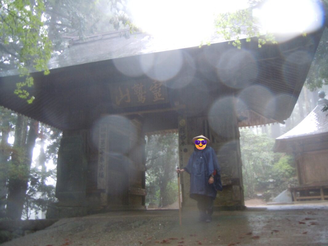
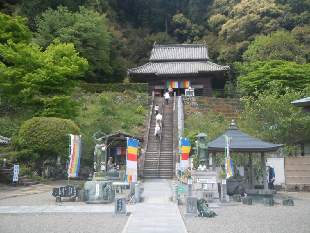
Tairyuji is an ancient mountain temple said to have been founded by Kōbō Daishi, who practiced the Kokūzō Gumonjihō (Ākāśagarbha Memory and Wisdom Ritual) here and enshrined Kokūzō Bosatsu (Ākāśagarbha Bodhisattva) as its principal image. Known as the “Kōyasan of the West,” Tairyuji remains one of the Shikoku Pilgrimage’s most important sacred mountain temples and is now accessible by ropeway.
Notes
If you’re traveling by car, taking the Tairyuji Ropeway is highly recommended. The one-way adult fare is ¥1,300, making it a convenient way to reach the temple without hiking the steep mountain trail.
Route Map, Distance & Travel Time
You can switch between the tabs to view the routes to the previous and next temples.
Select “Driving Route” from the map’s upper-left menu to display the driving route.
Click the Full Screen icon in the upper-right corner of the map to open it in Google Maps for a larger, easier-to-view map.
- From Previous Temple
- To Next Temple
Previous Temple: Kakurinji
| Distance | 6.7 km |
| Walking | 3 hr |
| Driving | 20 min |
Next Temple: Byodoji
| Distance | 10.9 km |
| Walking | 4 hr |
| Driving | 25 min |
Transportation Guide
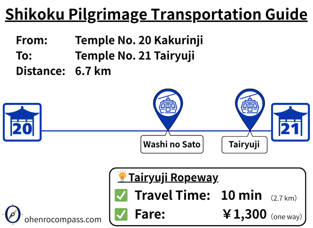
How to travel from Temple 20 Kakurinji to Temple 21 Tairyuji by ropeway. Includes the ¥1,300 fare, walking distance, travel time, route details, and ropeway vs. walking comparison.
My Walking Experience
Henro Korogashi: One of the Toughest Sections of the Shikoku Pilgrimage
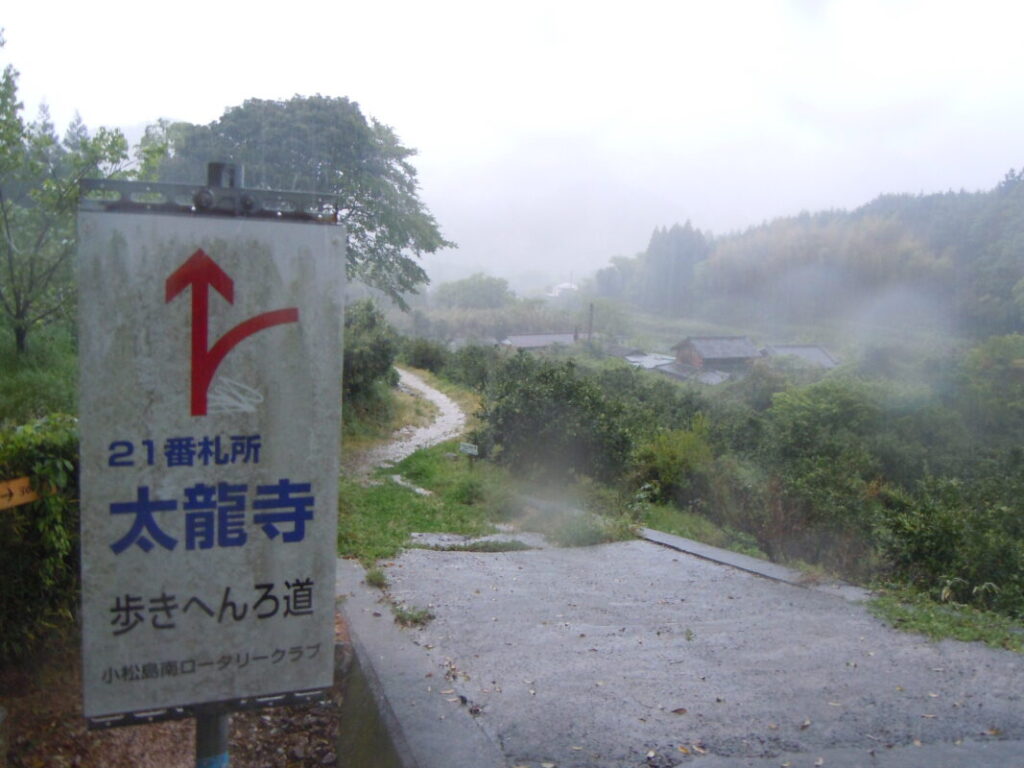
The route from Kakurinji to Tairyuji is one of the most challenging sections of the Shikoku Pilgrimage, known as Henro Korogashi (“a challenging mountain trail for pilgrims”). There are no supermarkets, convenience stores, restaurants, or other resupply points along the way, so be sure to stock up on food and water in Katsuura Town before setting out.
The route descends steeply from Kakurinji, at an elevation of approximately 470 meters (1,540 ft), to the Naka River at around 50 meters (165 ft) above sea level. From there, it climbs again to Tairyuji, which sits at approximately 520 meters (1,705 ft). With a total elevation change of about 1,000 meters (3,280 ft), this section ranks alongside Shosanji as one of the most demanding walking stages in Tokushima Prefecture.
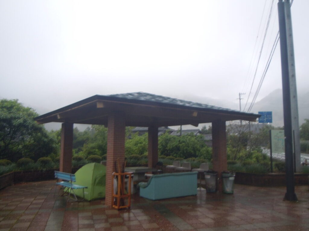
Ōi Rest Area
After descending the mountain trail from Kakurinji, you will find the Ōi Rest Area along the Naka River. It provides a valuable resting point for walking pilgrims, with a roofed shelter and benches where you can take a break.
When I walked this section, I set up my tent and spent the night camping at the Ōi Rest Area.
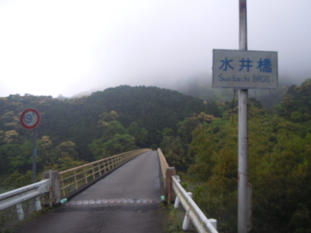
The Climb to Tairyuji
After crossing Suii Bridge over the Naka River, the climb to Tairyuji finally begins. The first part of the route follows the Wakasugitani River with a gentle ascent, but after passing the start of the steep ascent, about 5 km from Kakurinji, the trail becomes much steeper.
Take your time, walk at your own pace, and make sure to take frequent breaks along the way. This challenging climb is best approached steadily rather than trying to rush.
Tairyuji Ropeway
For those traveling by car, using the Tairyuji Ropeway is a convenient option.
The ropeway operates from Washino-Sato and takes approximately 10 minutes to reach Tairyuji. Since the road to the temple is narrow and winding in many places, taking the ropeway is recommended for visitors arriving by car.
- Adult fare: One way: ¥1,300 / Round trip: ¥2,600
- Operating hours: 8:00 AM – 5:00 PM
- Last departure (uphill): 4:40 PM
- Departure interval: Every 20 minutes
(Departures at 00, 20, and 40 minutes past each hour)
Nearby Accommodation
If you plan to stay near Tairyuji or between the surrounding pilgrimage temples, see the article below.
Related Articles
Shikoku 88 Temple Pilgrimage Route: Full List, Distance & Walking Time Guide.
Temple List and Full Route
Comments