
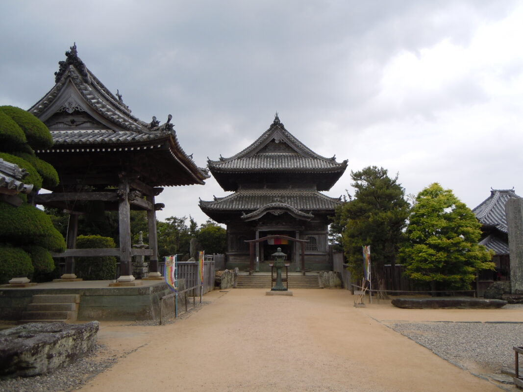
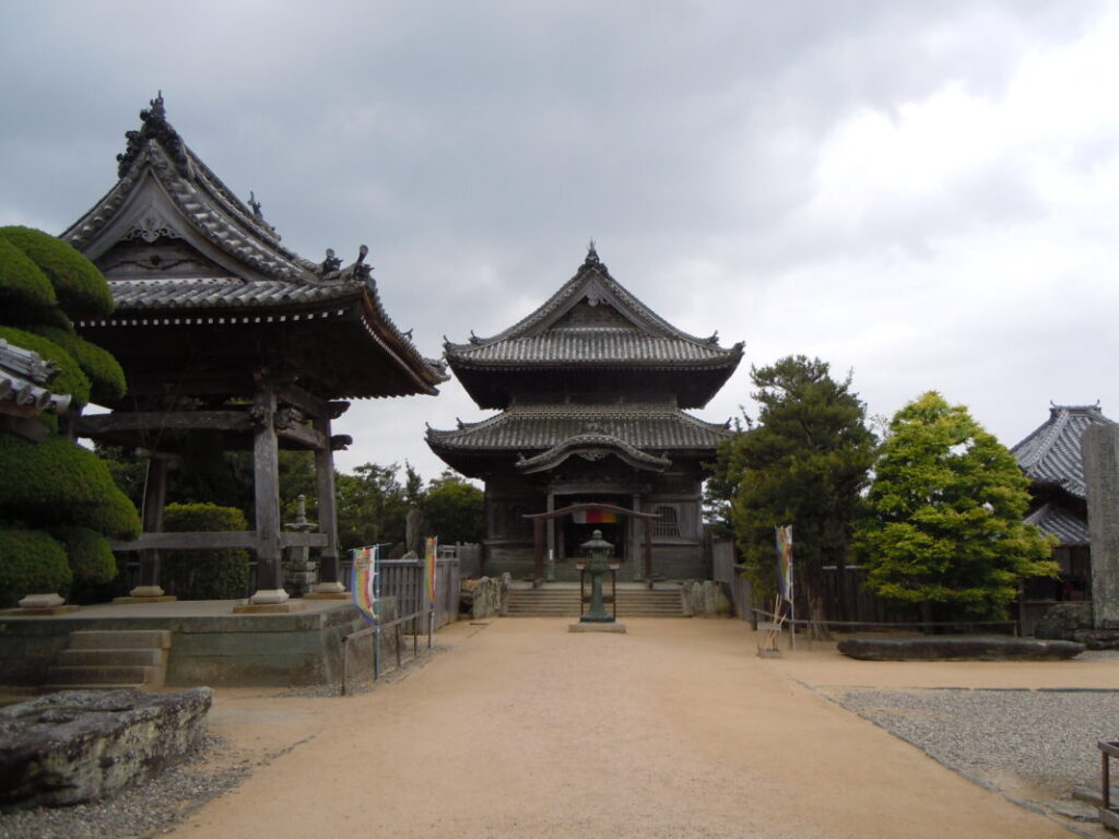
Kokubunji Temple Information
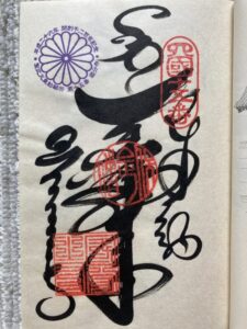
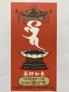
Goshuin
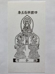
- Omie
- 1,200th Anniversary Edition
Basic Information
| Principal Deity | Yakushi Nyorai |
| Elevation | 20 m |
| Google Maps | MAP |
Accommodation
| Shukubo (Temple Lodging) | Not Available |
| Tsuyado (Free Pilgrim Shelter) | Not Available |
History & Highlights
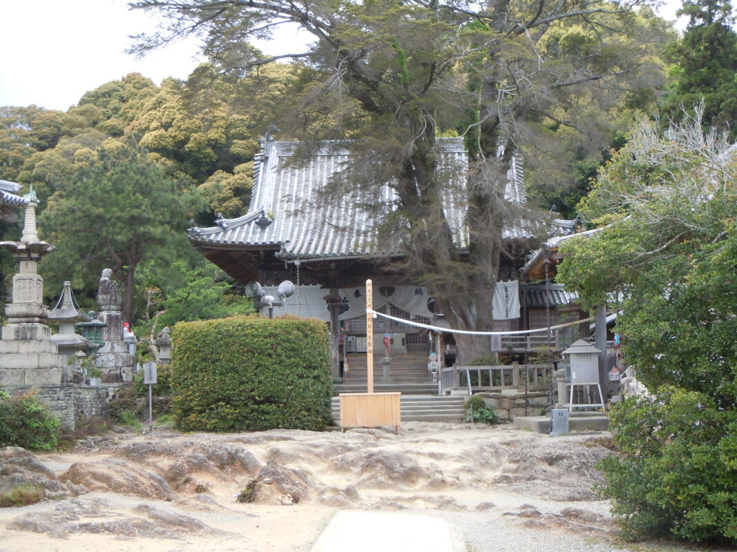
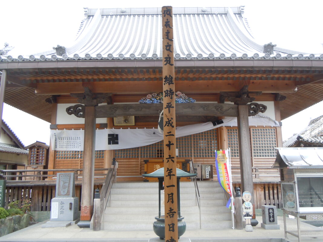
Kokubunji, the provincial temple of Awa Province, was founded by Gyōki under the imperial decree of Emperor Shōmu. Later, Kōbō Daishi converted it into a Shingon temple. After being destroyed by fire during the Tenshō era, it was rebuilt in the Edo period. The remains of its once-grand seven-building temple complex are now designated as a Historic Site of Tokushima Prefecture.
Route Map, Distance & Travel Time
You can switch between the tabs to view the routes to the previous and next temples.
Select “Driving Route” from the map’s upper-left menu to display the driving route.
Click the Full Screen icon in the upper-right corner of the map to open it in Google Maps for a larger, easier-to-view map.
- From Previous Temple
- To Next Temple
Previous Temple: Jorakuji
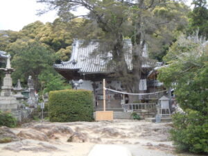
| Distance | 0.8 km |
| Walking | 10 min |
| Driving | 5 min |
Next Temple: Kanonji
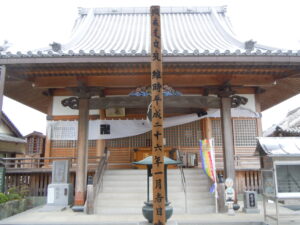
| Distance | 1.8 km |
| Walking | 30 min |
| Driving | 10 min |
Transportation Guide
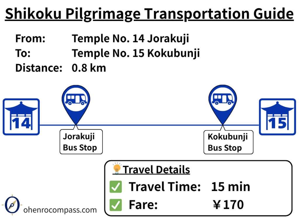
Travel from Jorakuji (14th Temple) to Kokubunji (15th Temple) by bus in about 15 minutes for ¥170. Includes bus stops, timetable and a comparison with walking.
My Walking Experience
The route from Jorakuji to Kokubunji is straightforward—simply follow the pilgrimage signposts north. The distance is short, taking about 10 minutes on foot, so there is little chance of losing your way.
Nearby Accommodation
If you plan to stay near Kokubunji or between the surrounding pilgrimage temples, see the article below.
Related Articles
Shikoku 88 Temple Pilgrimage Route: Full List, Distance & Walking Time Guide.
Temple List and Full Route
Why Do Some Temples Have the Same Name on the Shikoku Pilgrimage?
Why Do Temples Have the Same Name?
Comments