
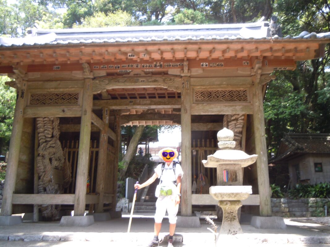
Kongochoji Temple Information
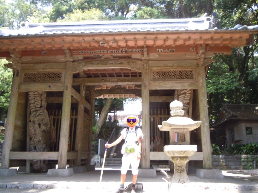
Goshuin

- Omie
- 1,200th Anniversary Edition


Basic Information
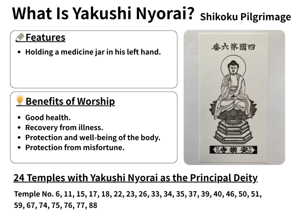
| Principal Deity | Yakushi Nyorai |
| Elevation | 160 m |
| Google Maps | MAP |
Accommodation
| Shukubo (Temple Lodging) | Currently Closed |
| Tsuyado (Free Pilgrim Shelter) | Not Available |
History & Highlights
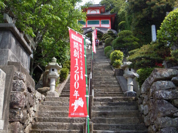
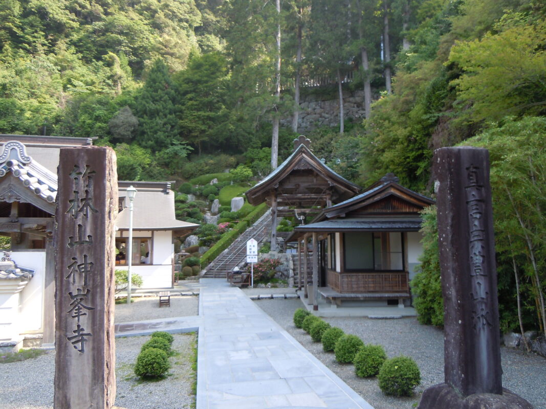
Kongochoji is an ancient temple on Cape Muroto that is said to have been founded by Kōbō Daishi. Known as the “Western Temple”, it forms a pair with Hotsumisakiji, the “Eastern Temple”. The temple is also renowned for its Treasure Hall, which houses numerous Important Cultural Properties.
Notes
Parking: ¥200 (paid parking).
Route Map, Distance & Travel Time
You can switch between the tabs to view the routes to the previous and next temples.
Select “Driving Route” from the map’s upper-left menu to display the driving route.
Click the Full Screen icon in the upper-right corner of the map to open it in Google Maps for a larger, easier-to-view map.
- From Previous Temple
- To Next Temple
Previous Temple: Shinshoji
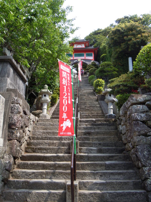
| Distance | 3.8 km |
| Walking | 1 hr 20 min |
| Driving | 15 min |
Next Temple: Konomineji
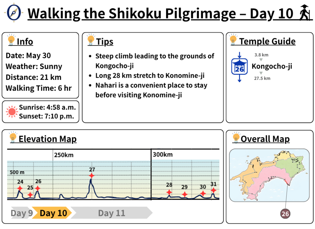
| Distance | 27.5 km |
| Walking | 8 hr 30 min |
| Driving | 1 hr 30 min |
Transportation Guide
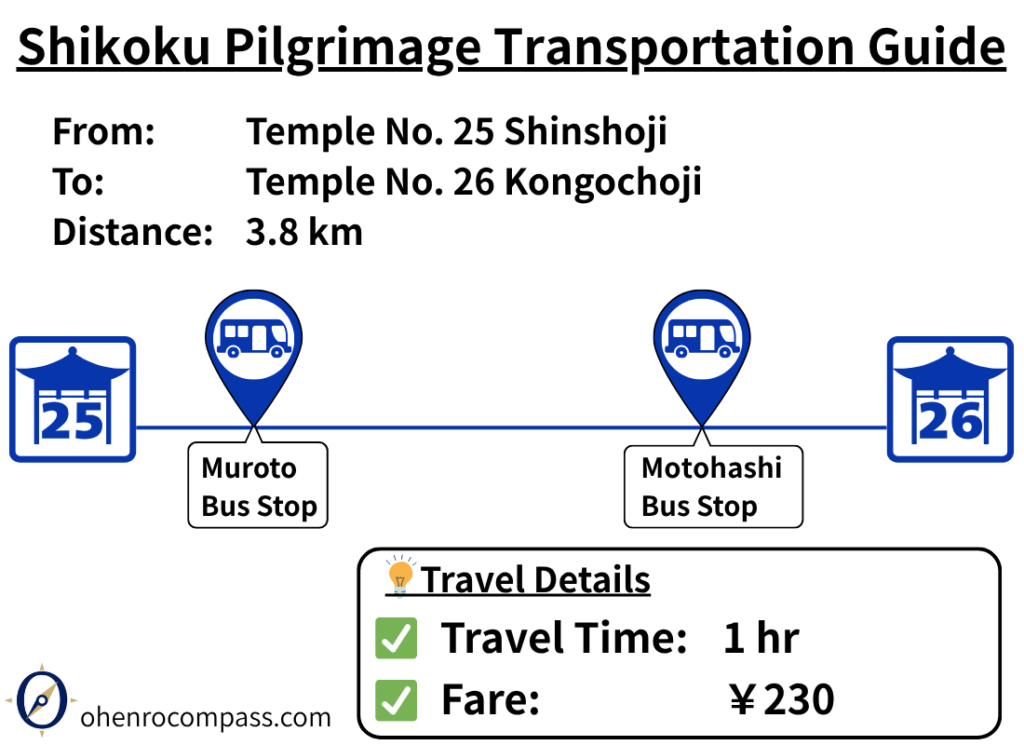
Travel from Shinshoji (25th Temple) to Kongochoji (26th Temple) by bus in about 1 hour for ¥230. Includes route details, fare, timetable and a comparison with the 4 km walking route.
My Walking Experience
From Shinshoji, follow National Route 55 northwest. When you see the sign for Kongochoji, turn right and begin the climb toward the temple.
Kongochoji is a mountain temple located at an elevation of approximately 160 meters (525 ft). The road becomes noticeably steeper as you approach the temple. The roads around the temple are also narrow and winding, so be sure to watch for vehicles while walking.
Walking pilgrims can also follow sections of the traditional pilgrimage trail, which shortcut parts of the road. These trail sections are marked on the route map in this article, so use them as a guide if you would like to experience the historic walking route.
After spending about four days walking the coastline from Tokushima to Cape Muroto, I found the peaceful atmosphere of Kongochoji, surrounded by forest, especially memorable.
Useful Facilities Between Pilgrimage Temples
Find useful facilities along the pilgrimage route, including toilets and rest areas.
Loading rest spots...
Looking for More Places to Take a Break?
Explore our guide to rest stops, hot springs, campsites, and other useful places for pilgrims walking the Shikoku Pilgrimage.
Nearby Accommodation
Here are some accommodation options near this temple that may be convenient for pilgrims. If you are planning to stay overnight, we hope you find this list helpful.
Looking for more accommodation options?
Visit our Pilgrim Accommodation Guide to explore more places to stay along the Shikoku Pilgrimage. You can search by location, accommodation type, price range, facilities, and more.

Additional Information
Related Articles
Shikoku 88 Temple Pilgrimage Route: Full List, Distance & Walking Time Guide.
Temple List and Full Route


Comments