
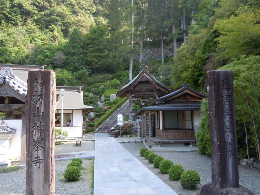
Konomineji Temple Information
Goshuin

- Omie
- 1,200th Anniversary Edition


Basic Information
| Principal Deity | Eleven-Headed Kannon |
| Elevation | 450 m |
| Google Maps | MAP |
Accommodation
| Shukubo (Temple Lodging) | Not Available |
| Tsuyado (Free Pilgrim Shelter) | Not Available |
History & Highlights
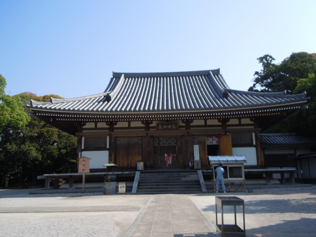
Konomineji is an ancient temple whose origins trace back to a shrine associated with Empress Jingū. It is said that Gyōki carved the temple’s principal image of Eleven-Headed Kannon (Jūichimen Kannon), and later Kōbō Daishi established the temple buildings, making it one of the historic sacred sites of the Shikoku Pilgrimage. The temple is also well known for the devotion of Iwasaki Yatarō’s mother, who is said to have prayed here for 21 consecutive days.
Notes
Walking route: Just before reaching Konomineji, pilgrims must climb the “Mattate” (literally, “straight up”), a notoriously steep ascent. Be sure to allow plenty of time and energy for this challenging section.
Parking:¥300 (paid parking).
Route Map, Distance & Travel Time
You can switch between the tabs to view the routes to the previous and next temples.
Select “Driving Route” from the map’s upper-left menu to display the driving route.
Click the Full Screen icon in the upper-right corner of the map to open it in Google Maps for a larger, easier-to-view map.
- From Previous Temple
- To Next Temple
Previous Temple: Kongochoji
| Distance | 27.5 km |
| Walking | 8 hr 30 min |
| Driving | 1 hr 30 min |
Next Temple: Dainichiji
| Distance | 37.5 km |
| Walking | 11 hr |
| Driving | 1 hr |
Transportation Guide
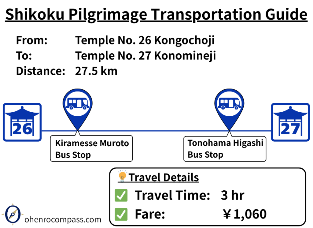
Travel from Kongochoji (26th Temple) to Konomineji (27th Temple) by bus in about 3 hours for ¥1,060. Includes route details, fare, timetable, walking options and the steep climb to Konomineji.
My Walking Experience
Kongochoji to Konomineji: One of Kōchi’s Most Challenging Sections
The route from Kongochoji to Konomineji is approximately 28 km (17.4 miles) long. It follows National Route 55 northwest and is relatively easy to navigate. However, Konomineji is a mountain temple located at an elevation of about 450 meters (1,476 ft), and the final approach includes the notoriously steep climb known as “Mattate” (“straight up”).
This ascent is considered one of the most challenging henro-korogashi (“pilgrim-killers”) in Kōchi Prefecture, so it is important to plan your day carefully and avoid pushing yourself beyond your limits.
The Climb Continues Beyond the Parking Lot
Even after reaching the Konomineji parking lot, the climb is not over. The parking area sits at an elevation of approximately 300 meters (984 ft), while the temple grounds are another 150 meters (492 ft) higher.
Although the mountain road ends at the parking lot, visitors must continue on foot via stone steps and uphill paths to reach the temple. Whether you are walking the pilgrimage or traveling by car, it is wise to allow extra time for your visit.
Staying Overnight in Nahari Is Recommended
Although it is possible to walk this section in a single day, I recommend spending a night in Nahari.
Nahari is located about 20 km (12.4 miles) from Kongochoji and 10 km (6.2 miles) from Konomineji. The town has convenience stores, restaurants, and accommodations, making it an ideal place to stop for the night.
Staying in Nahari also allows you to tackle the steep climb to Konomineji in the cool morning hours, helping reduce fatigue caused by the heat.
Two Route Options at Hane Misaki
About 12 km (7.5 miles) from Kongochoji, you will reach Hane Misaki (Cape Hane), where the route splits into two options:
- The Nakayama Pass pilgrimage trail
- The National Route 55 route
The Nakayama Pass route is about 1 km (0.6 miles) shorter, but it requires crossing a pass at an elevation of approximately 100 meters (328 ft). Because few people use this trail, it may become overgrown with vegetation during quieter pilgrimage seasons.
Both routes are shown on the route map in this article, so you can choose the one that best suits your fitness level and walking style.
My Walking Itinerary
I left Kongochoji at around 11:30 AM and arrived in Nahari at about 6:00 PM.
I camped overnight at Nijūsan-shi Park, located just across the Nahari River Bridge. The park has restrooms and running water, making it a convenient overnight stop for walking pilgrims.
Right next to the park is Tanotano Onsen, a public hot spring. It happened to be closed when I visited, but if it is open during your trip, it is a great place to relax after a long day’s walk.
The following morning, I left Nahari early and arrived at Konomineji at around 8:30 AM.
Highlights of Konomineji
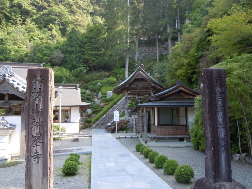
Although Konomineji is nestled deep in the mountains, the temple is best known for its beautifully maintained gardens and peaceful atmosphere.
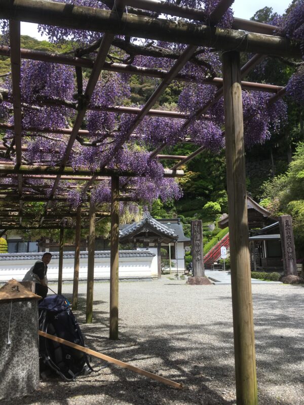
Fresh spring water flows through the temple grounds, creating a cool and tranquil setting. When I visited in spring, a wisteria arbor spread above the benches, covered with vibrant purple blossoms. As I rested beneath the flowers, watching bees drift from bloom to bloom, the fatigue from the long mountain climb seemed to melt away. It remains one of my most memorable moments on the Shikoku Pilgrimage.
Nearby Accommodation
If you plan to stay near Konomineji or between the surrounding pilgrimage temples, see the article below.
Related Articles
Shikoku 88 Temple Pilgrimage Route: Full List, Distance & Walking Time Guide.
Temple List and Full Route
Comments