
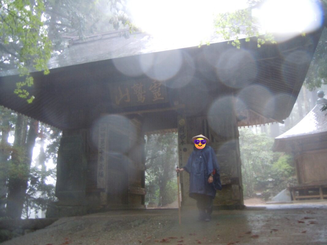
Kakurinji Temple Information
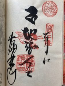
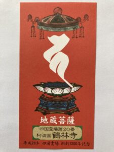
Goshuin
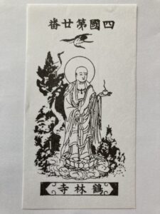
- Omie
- 1,200th Anniversary Edition
Basic Information
| Principal Deity | Jizo Bosatsu |
| Elevation | 470 m |
| Google Maps | MAP |
Accommodation
| Shukubo (Temple Lodging) | Not Available |
| Tsuyado (Free Pilgrim Shelter) | Not Available |
History & Highlights
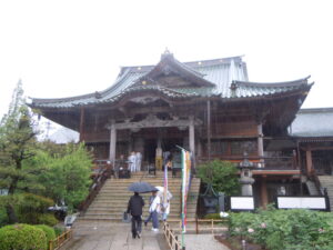
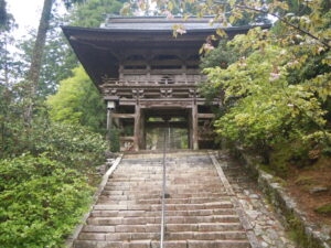
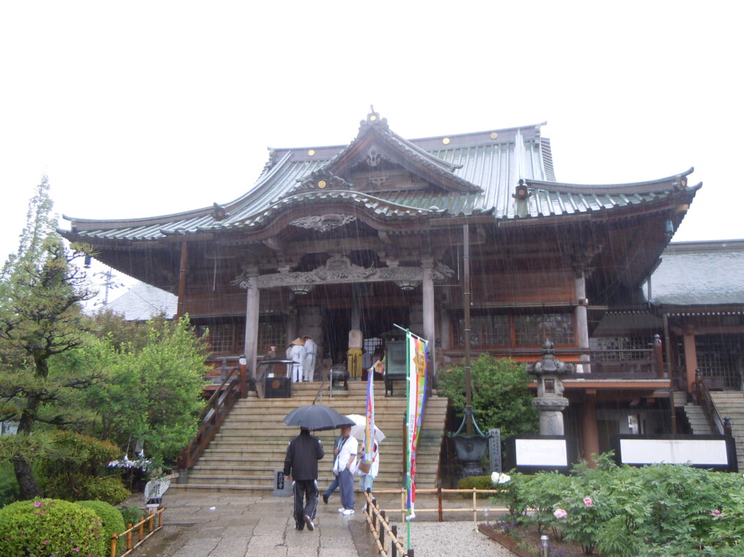
Kakurinji is an ancient temple said to have been founded by Kōbō Daishi, who enshrined a golden Jizō Bodhisattva protected by a white crane as the temple’s principal image. Perched on a sacred mountain at an elevation of approximately 470 meters (1,540 ft), the temple is affectionately known as “Otsuru-san” (“The Crane Temple”). It is also home to several important cultural treasures, including a beautiful three-story pagoda.
Notes
The route to Kakurinji and onward to Tairyuji consists of steep mountain trails. Since there are very few places to buy food or drinks along the way, be sure to stock up on supplies before setting out.
Route Map, Distance & Travel Time
You can switch between the tabs to view the routes to the previous and next temples.
Select “Driving Route” from the map’s upper-left menu to display the driving route.
Click the Full Screen icon in the upper-right corner of the map to open it in Google Maps for a larger, easier-to-view map.
- From Previous Temple
- To Next Temple
Previous Temple: Tatsueji
| Distance | 13.1 km |
| Walking | 4 hr 30 min |
| Driving | 30 min |
Next Temple: Tairyuji
| Distance | 6.7 km |
| Walking | 3 hr |
| Driving | 20 min |
Transportation Guide
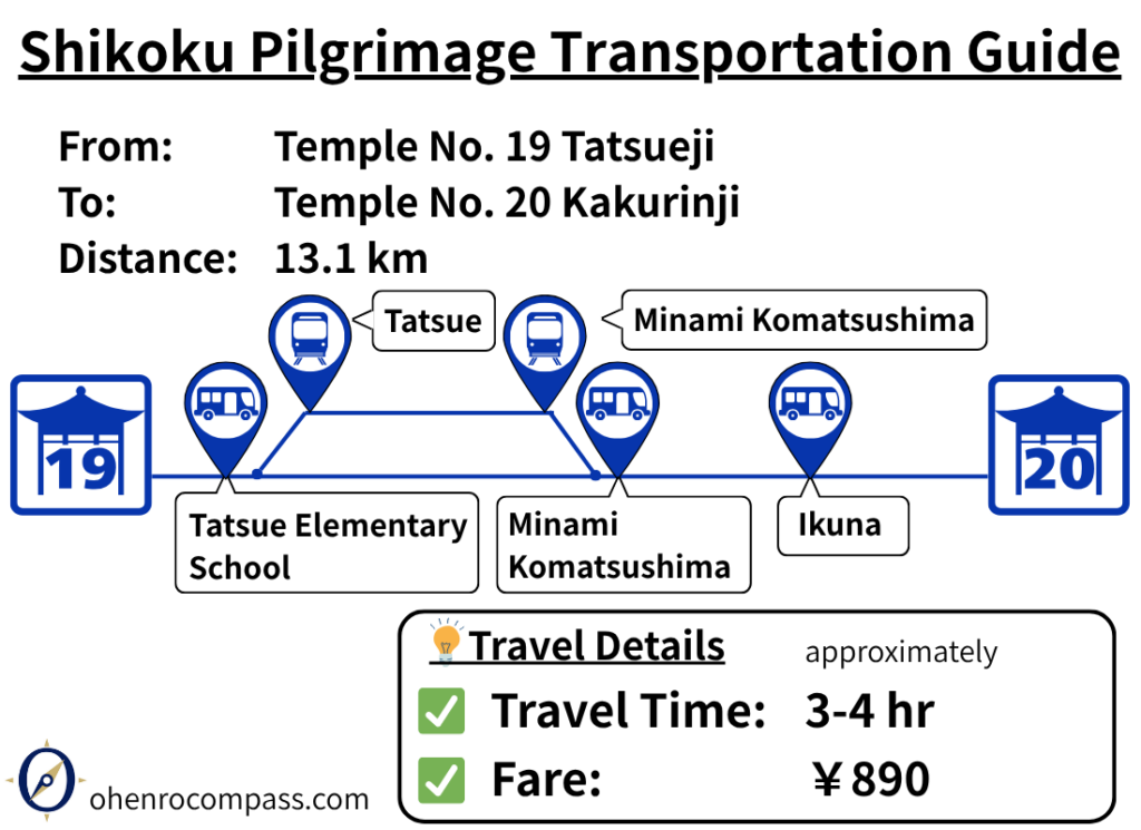
Find the train and bus route from 19th Temple Tatsueji to 20th Temple Kakurinji on the Shikoku Pilgrimage. Travel takes about 3–4 hours and costs ¥890–990. Includes transfer information, bus stops, timetables, and a walking route comparison.
My Walking Experience
A Traditional Pilgrimage Trail Not Shown on Google Maps
Kakurinji is located near the summit of Mount Washigao, at an elevation of approximately 470 meters (1,540 ft). Although there is a paved road to the temple, walking pilgrims traditionally follow an old pilgrimage trail that does not appear on Google Maps.
By using the route map in this article together with the pilgrimage signposts along the way, you should be able to follow the trail without getting lost.
Katsuura Town: The Last Resupply Point
After leaving Tatsueji, continue west for about 6 km until you reach the Katsuura River. Turn left there and follow the river upstream.
After walking another 4 km along the river, you’ll arrive in the center of Katsuura Town. This is the last major resupply point before heading to Kakurinji and Tairyuji. Here you’ll find Michi-no-Eki Katsuura, a drugstore, restaurants, and other convenient services where you can stock up on food, drinks, and other necessities.
There are also several minshuku (Japanese-style guesthouses) in the area. Many walking pilgrims choose to stay here overnight before tackling the challenging mountain route to Kakurinji and Tairyuji the following day.
The 3 km Climb to Kakurinji
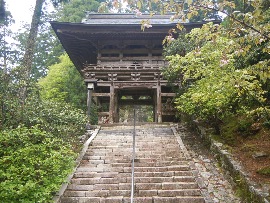
South of Katsuura Town, the route enters the mountains and the real climb to Kakurinji begins. Although the ascent is only about 3 km long, the significant elevation gain makes it one of the more demanding sections of the pilgrimage. Take your time and rest whenever needed rather than trying to rush the climb.
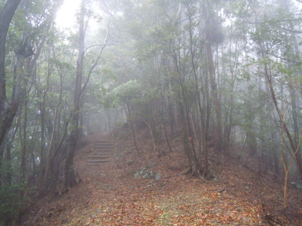
Take Extra Care in Rainy Weather
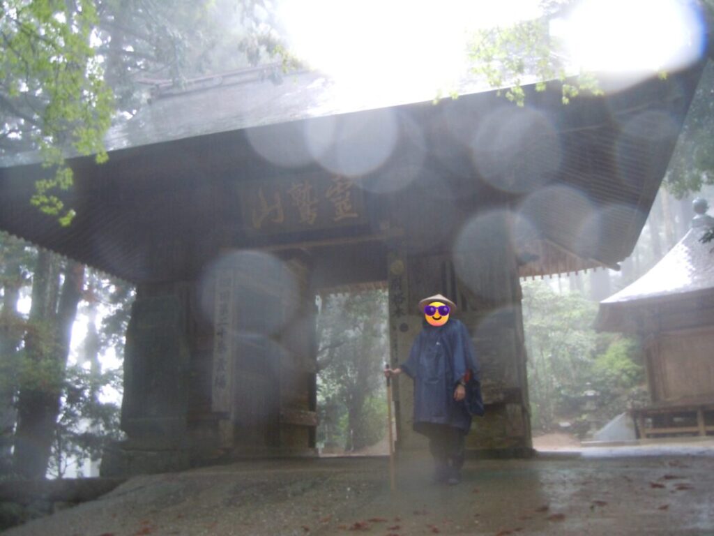
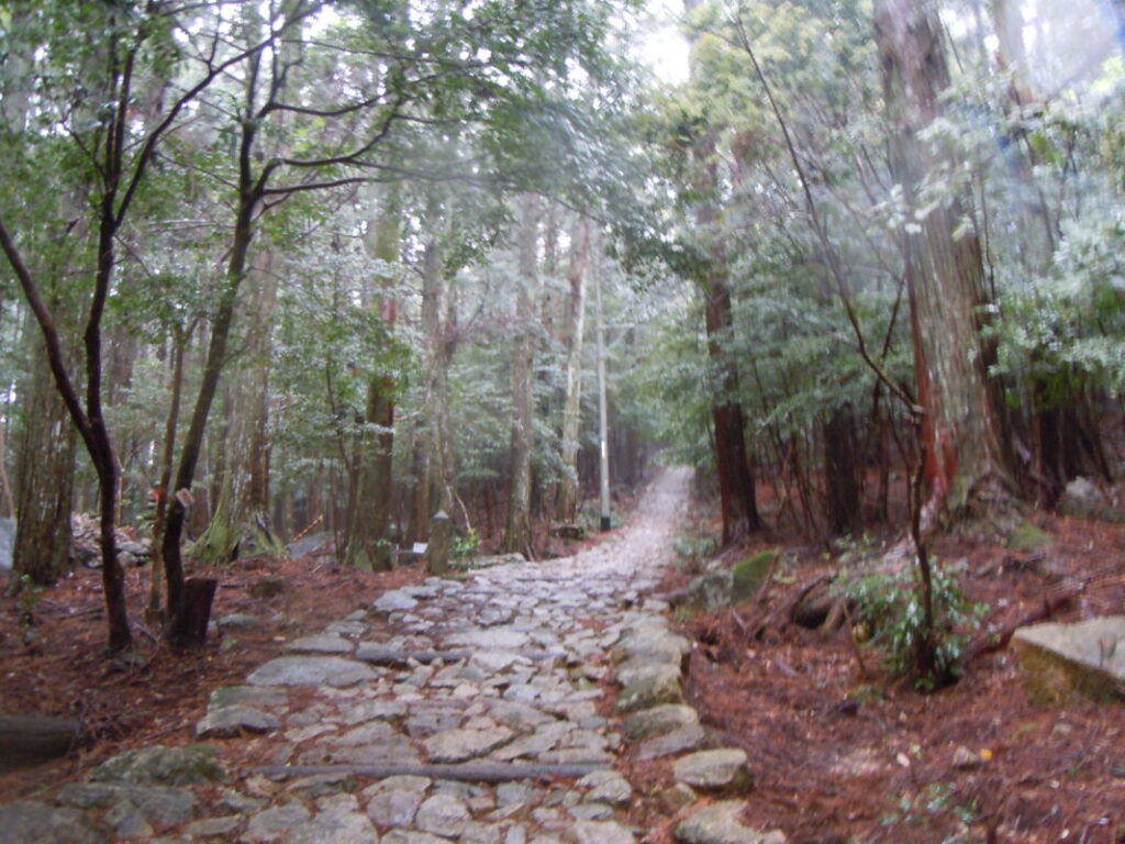
The day I walked this section, heavy rain made the trail far more challenging than I had expected. On mountain paths, wet conditions increase the risk of landslides, falling rocks, and slippery stone paving, so extra caution is essential.
If the weather is poor, don’t hesitate to adjust your plans. Staying overnight in Katsuura Town and attempting the climb the following day may be a safer and more enjoyable option.
Stone-paved pilgrimage trail
The rain-soaked stone pavement was extremely slippery, so I walked with extra care.
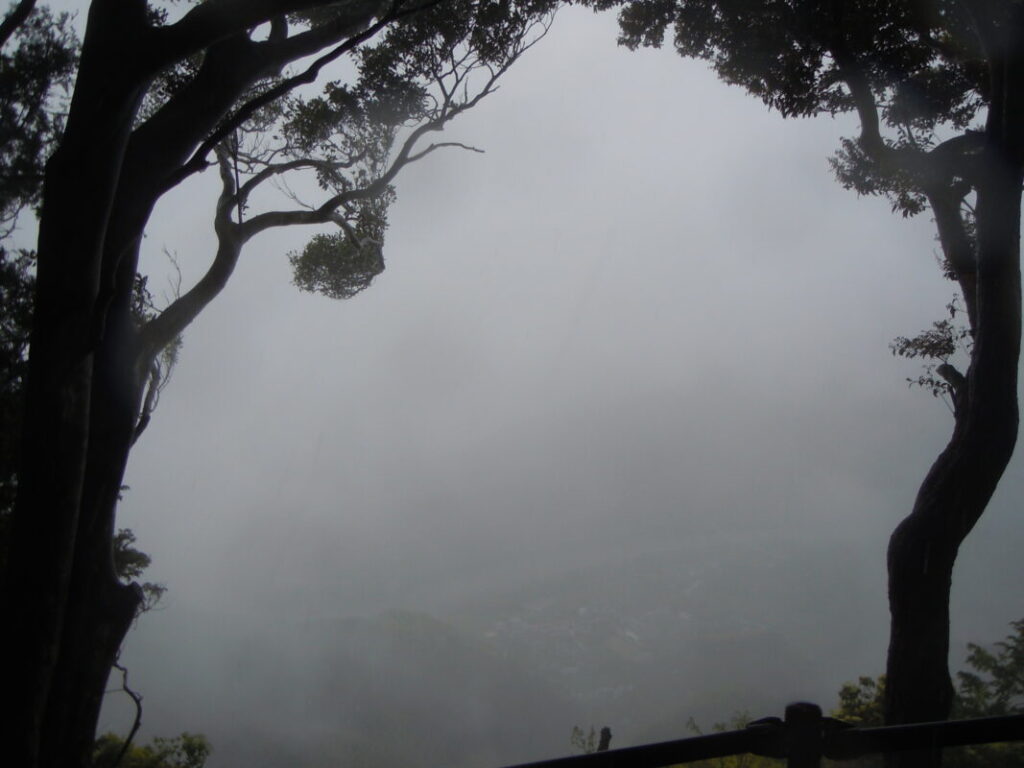
Scenic viewpoint on the way to Kakurinji
On a clear day, this is a spectacular viewpoint overlooking Katsuura Town. Unfortunately, when I visited, the view was completely obscured by fog.
Highlights of Kakurinji
The Crane Statue
Within the temple grounds stands a statue of a white crane, commemorating the legend that gave Kakurinji its name.
According to tradition, while Kōbō Daishi was practicing ascetic training in the mountains, he saw two white cranes protecting a small golden Jizō Bodhisattva at the top of an ancient cedar tree. Deeply moved by this miraculous sight, he carved a statue of Jizō Bosatsu from a sacred tree nearby, enshrined the golden Jizō inside it, and made it the temple’s principal image. He then named the temple Kakurinji, meaning “Temple of the Crane Forest.”
Chōishi (Distance Markers)
Along the pilgrimage trail beyond the Main Hall, you can find 11 stone distance markers (chōishi) dating back to the Muromachi period. Originally placed at intervals of one chō (approximately 109 meters), they guided pilgrims on their journey.
These are considered the oldest surviving chōishi in Tokushima Prefecture, making them an important cultural treasure. Walking past them allows modern pilgrims to follow the same landmarks that guided travelers centuries ago.
Nearby Accommodation
If you plan to stay near Kakurinji or between the surrounding pilgrimage temples, see the article below.
Related Articles
Shikoku 88 Temple Pilgrimage Route: Full List, Distance & Walking Time Guide.
Temple List and Full Route
Comments