
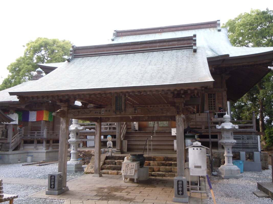
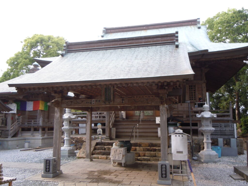
Zenjibuji Temple Information
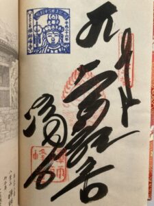
Goshuin
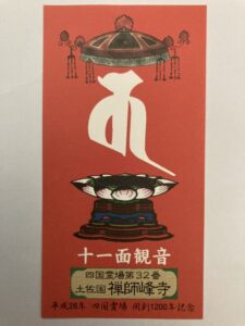
- Omie
- 1,200th Anniversary Edition

Basic Information
| Principal Deity | Eleven-Headed Avalokiteśvara |
| Elevation | 80 m |
| Google Maps | MAP |
Accommodation
| Shukubo (Temple Lodging) | Not Available |
| Tsuyado (Free Pilgrim Shelter) | Not Available |
History & Highlights
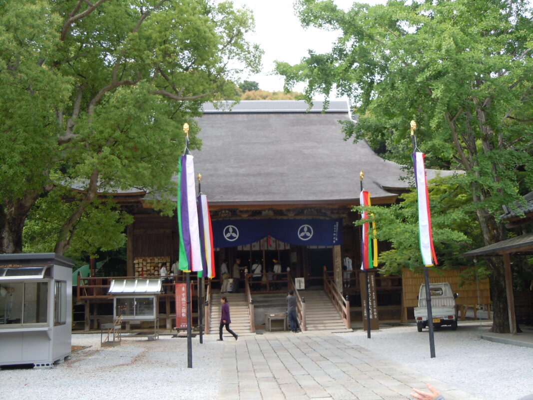
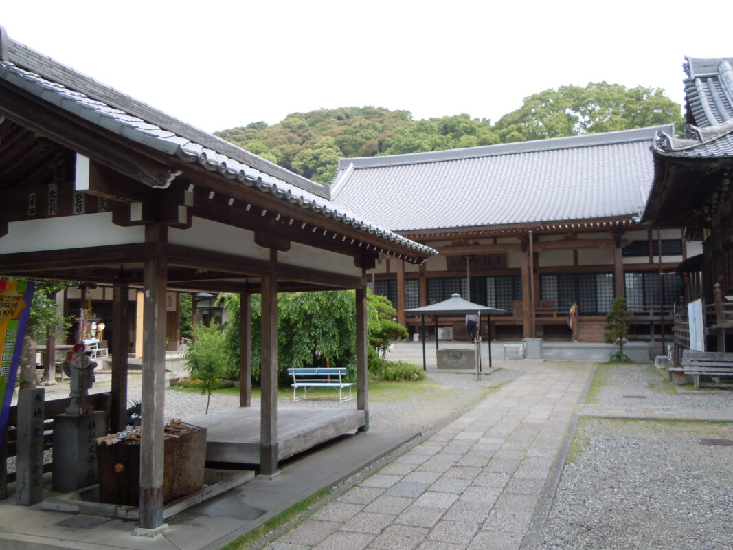
Zenjibuji is a historic temple said to have been founded by Gyōki and later established as a sacred pilgrimage site by Kōbō Daishi. For centuries, it has been revered as the “Funadama no Kannon”—the Kannon of Maritime Safety—and has attracted the devotion of the lords of the Tosa Domain as well as generations of fishermen praying for safe voyages. The temple grounds are dotted with striking rock formations, creating a peaceful and contemplative atmosphere.
Route Map, Distance & Travel Time
You can switch between the tabs to view the routes to the previous and next temples.
Select “Driving Route” from the map’s upper-left menu to display the driving route.
Click the Full Screen icon in the upper-right corner of the map to open it in Google Maps for a larger, easier-to-view map.
- From Previous Temple
- To Next Temple
Previous Temple: Chikurinji
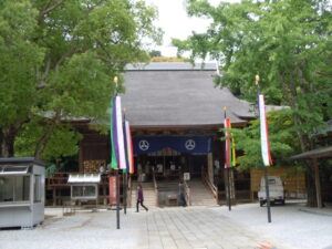
| Distance | 5.7 km |
| Walking | 1 hr 30 min |
| Driving | 20 min |
Next Temple: Sekkeiji
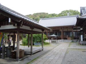
| Distance | 7.5 km |
| Walking | 2 hr 20 min |
| Driving | 30 min |
Transportation Guide
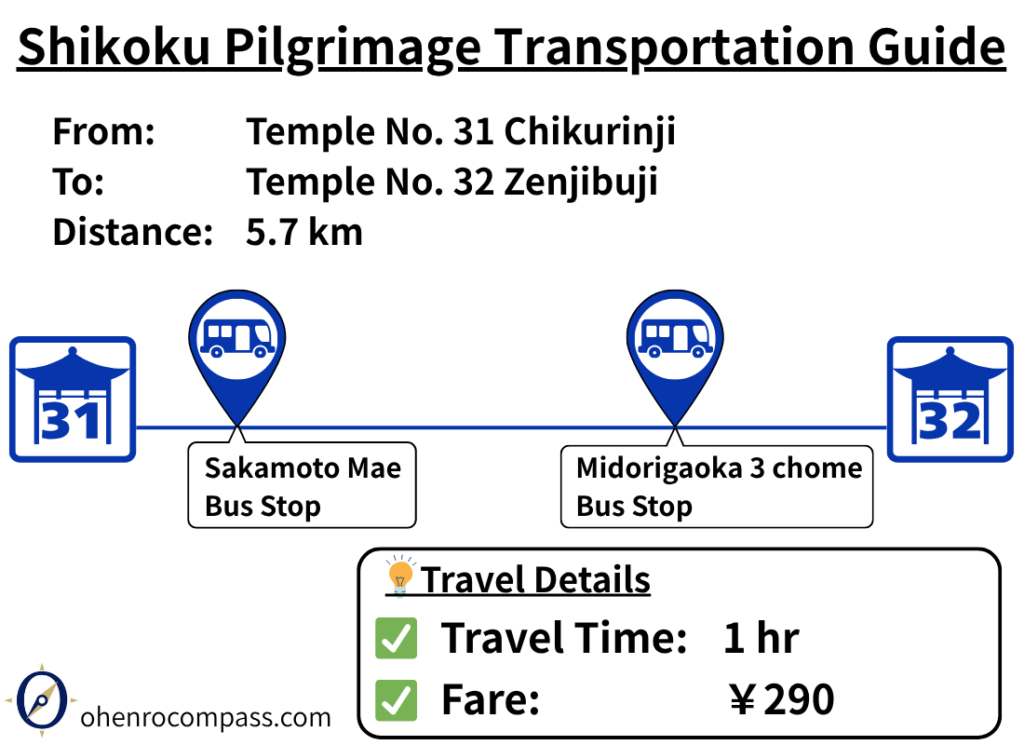
Find the bus route from Temple 31, Chikurinji, to Temple 32, Zenjibuji, on the Shikoku 88 Temple Pilgrimage. Travel takes about 1 hour and costs ¥290. Includes fares, travel times, timetables, and a comparison with walking.
My Walking Experience
Route from Chikurinji to Zenjibuji
Zenjibuji is located southeast of Chikurinji. The route begins by descending Godaisan, which stands at an elevation of approximately 150 meters (492 ft). Walking pilgrims can follow the traditional pilgrimage trail, which provides a more direct descent than the road.
After coming down from Godaisan, you’ll cross the Shimoda River. A pedestrian bridge along Prefectural Route 376 allows you to cross the river safely.
Continue east along the Shimoda River, then join Prefectural Route 247. Pass beneath the Kōchi–Nankoku Expressway, and when you reach Ishido Pond, turn left to arrive at the approach to Zenjibuji. By following the route map in this article and the signposts along the way, you should have no difficulty finding the temple.
The Final Climb to Zenjibuji
Zenjibuji stands on a hill at an elevation of approximately 80 meters (262 ft). Although the climb is not particularly long, the approach is steadily uphill, making it the final effort before reaching the temple.
Views from the Temple Grounds
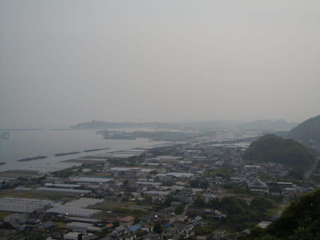
Zenjibuji offers sweeping views of Tosa Bay and the surrounding town below. Standing on the temple grounds, it is easy to understand why the temple has long been revered as the “Funadama no Kannon”—the Kannon of Maritime Safety—by those praying for safe voyages.
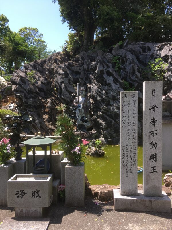
The temple grounds are also home to several dramatic rock formations. In front of one of these stands a pond enshrining a statue of Fudō Myōō (Acala). Set against the towering rocks, the statue creates a solemn and powerful atmosphere, making it one of the temple’s most memorable highlights.
Nearby Accommodation
If you plan to stay near Zenjibuji or between the surrounding pilgrimage temples, see the article below.
Related Articles
Shikoku 88 Temple Pilgrimage Route: Full List, Distance & Walking Time Guide.
Temple List and Full Route
Comments