
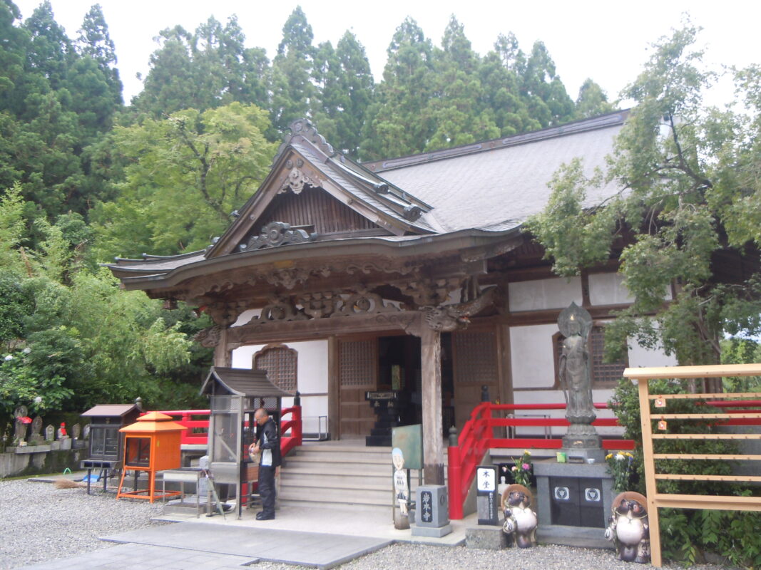
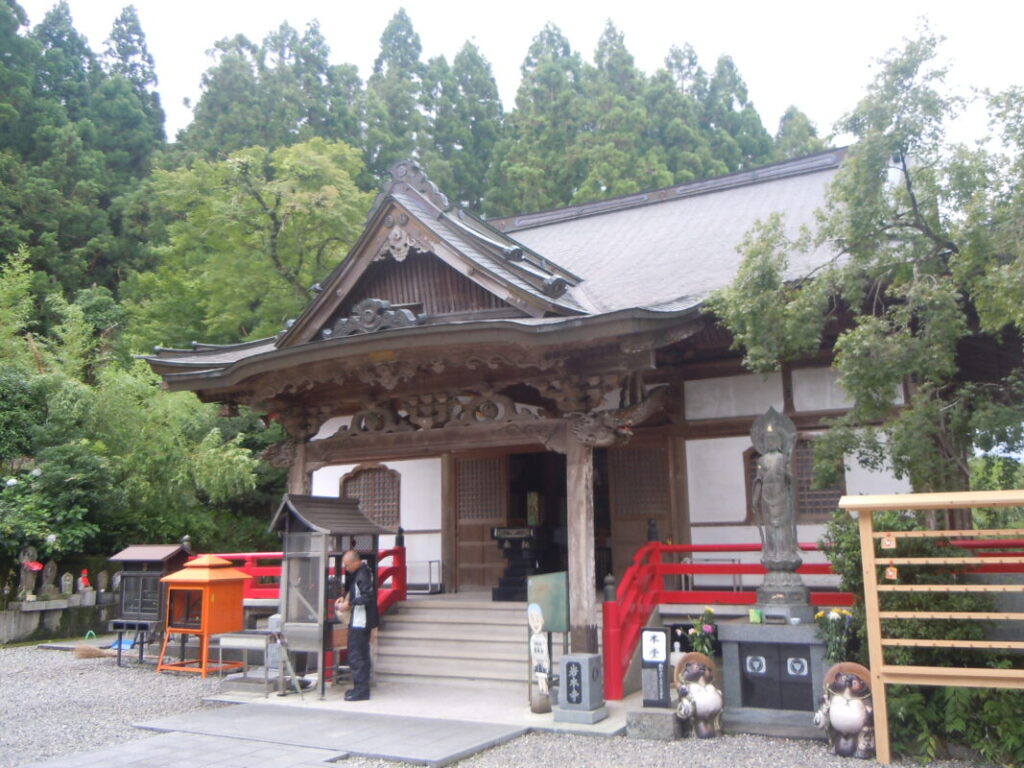
Iwamotoji Temple Information
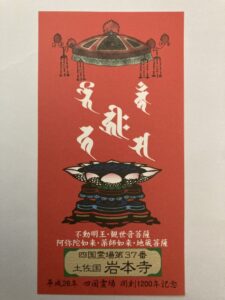
Goshuin

- Omie
- 1,200th Anniversary Edition
Basic Information
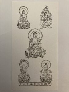
| Principal Deity | Fudo Myoo Kanon Bosatsu Amida Nyorai Yakushi Nyorai Jizo Bosatsu |
| Elevation | 210 m |
| Google Maps | MAP |
Accommodation
| Shukubo (Temple Lodging) | Available |
| Tsuyado (Free Pilgrim Shelter) | Not Available |
History & Highlights
Iwamotoji is a historic temple said to have been founded by Gyōki and later developed by Kōbō Daishi, who is believed to have enshrined its five principal deities. Having survived periods of warfare and the Haibutsu Kishaku movement that suppressed Buddhism in the early Meiji era, the temple was rebuilt and continues to flourish today. Iwamotoji is one of the few temples in Japan to enshrine five principal deities, making it a unique stop on the Shikoku 88 Temple Pilgrimage.
Notes
The route from Shoryuji to Iwamotoji is approximately 58 km (36 miles) long. Walking pilgrims typically take two to three days to complete this section.
Route Map, Distance & Travel Time
You can switch between the tabs to view the routes to the previous and next temples.
Select “Driving Route” from the map’s upper-left menu to display the driving route.
Click the Full Screen icon in the upper-right corner of the map to open it in Google Maps for a larger, easier-to-view map.
- From Previous Temple
- To Next Temple
Previous Temple: Shoryuji
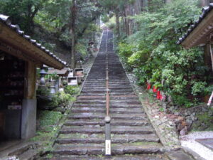
| Distance | 58.5 km |
| Walking | 17 hr |
| Driving | 1 hr 30 min |
Next Temple: Kongofukuji
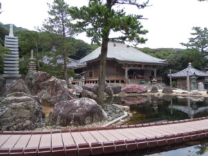
| Distance | 80.7 km |
| Walking | 24 hr |
| Driving | 2 hr |
Transportation Guide
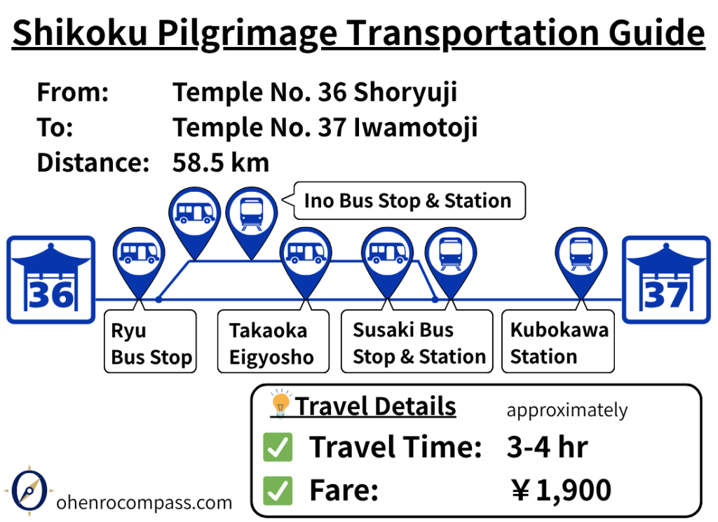
Find the best train and bus routes from Temple 36 Seiryuji to Temple 37 Iwamotoji on the Shikoku Pilgrimage. Includes fares, travel times, transfers, timetables, and tips for avoiding the Nanako Pass.
My Walking Experience
The route from Shoryuji to Iwamotoji is approximately 58 km (36 miles) long, making it one of the longest sections of the Shikoku Pilgrimage. Walking pilgrims typically take two to three days to complete it. Along the way, you’ll also cross Nanako Pass, which rises to an elevation of about 300 meters (984 ft). Planning your overnight stops and resupply points in advance will make the journey much more manageable.
Two Route Options for the First Half
From Shoryuji to Susaki, there are two main route options. I have completed the pilgrimage twice on foot and have walked both routes.
| Comparison | Yokonami Skyline Route | Uranouchi Bay Route |
|---|---|---|
| Distance | 14.5 km (9.0 mi) | 16.2 km (10.1 mi) |
| Elevation gain | High | Low |
| Scenery | Excellent panoramic views | Good coastal scenery |
| Physical demand | More demanding | Easier |
| Best for | Pilgrims seeking scenic views and a shorter distance | Pilgrims prioritizing an easier walk |
Yokonami Skyline Route
The first option follows Prefectural Route 47 across the Yokonami Peninsula. Although this route is about 2 km (1.2 miles) shorter than the alternative, it features repeated short climbs and descents that can be surprisingly tiring for walking pilgrims.
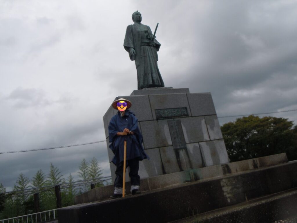
About 9 km (5.6 miles) from Shoryuji, you’ll pass a statue of Takechi Hanpeita, a leading figure of the Tosa Loyalist Party.
Statue of Takechi Hanpeita
Uranouchi Bay Route
The second option follows the shoreline of Uranouchi Bay. It begins by heading back toward Kiyotakiji, crossing Usa Bridge, and then continuing west.
Although this route is about 2 km (1.2 miles) longer, it has much less elevation gain, making it a more comfortable walk.
If you want to enjoy spectacular scenery and don’t mind a more challenging route, I recommend the Yokonami Skyline Route. If you prefer to conserve your energy for the long journey ahead, the Uranouchi Bay Route is the better choice.
Susaki: The First Major Resupply Point
The two routes rejoin in Susaki City.
Susaki is the first major resupply point on this section of the pilgrimage. The city offers convenience stores, restaurants, and accommodations, making it an ideal place to restock supplies or spend the night. It is also home to Henro hut Susaki, a rest shelter that is especially convenient for walking pilgrims.
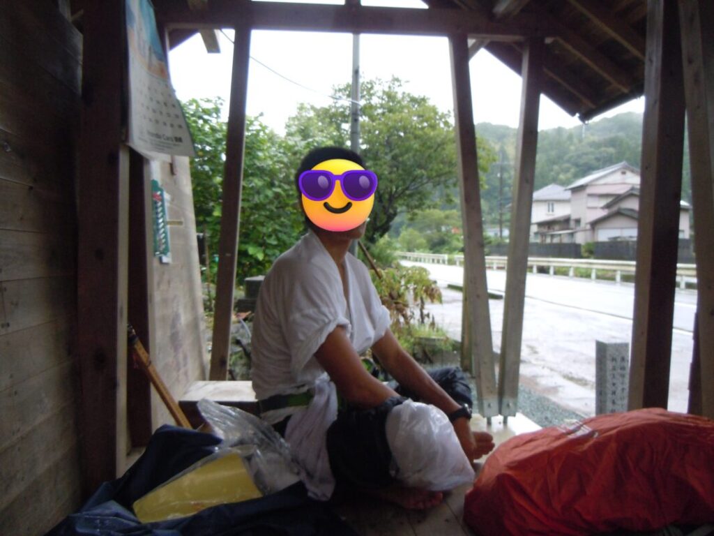
When I passed through, a typhoon was approaching. I took shelter from the rain at Henro hut Susaki, wondering how much farther I would be able to walk that day. It’s a moment that I still remember vividly.
Yakesaka Pass: Two Route Options
About 5 km (3.1 miles) beyond Susaki, the route splits again in the Awa area.
| Comparison | Yakesaka Tunnel Route | Yakesaka Pass Route |
|---|---|---|
| Difficulty | ★☆☆☆☆ | ★★★★★ |
| Elevation gain | Low | About 200 m (656 ft) |
| Safety | Good | Moderate |
| Historical interest | Limited | Excellent |
Yakesaka Tunnel Route
The first option follows National Route 56 through the Yakesaka Tunnel, which is approximately 1 km (0.6 miles) long. The sidewalk is relatively narrow, so extra care is required. Reflective safety sashes are available at the tunnel entrance and are highly recommended.
While walking through the tunnel, I carried my pilgrim staff (kongōzue) directly in front of my body to keep it from extending into the traffic lane.
Yakesaka Pass Route
The second option is the traditional Yakesaka Pass route, which follows the historic pilgrimage trail over a pass rising to more than 200 meters (656 ft). It offers an authentic old pilgrimage atmosphere.
I have not walked this route myself. However, I understand that the trail is now better marked than it was in the past, making navigation easier. During quieter seasons, vegetation may still become overgrown in some sections.
For most first-time walking pilgrims, I recommend the Yakesaka Tunnel Route.
Kure: An Ideal Overnight Stop
At approximately 35 km (21.7 miles) from Shoryuji, you’ll reach Kure, a convenient base for walking pilgrims with convenience stores, accommodations, and other services.
Located at the foot of Nanako Pass, Kure is about 20 km (12.4 miles) from Iwamotoji. Spending the night here and setting out early the following morning allows you to reach the temple with plenty of time.
Crossing Nanako Pass
Nanako Pass also offers two route options.
| Comparison | National Route 56 | Ōsaka Pilgrimage Trail |
|---|---|---|
| Difficulty | ★★☆☆☆ | ★★★★★ |
| Elevation gain | Moderate | Steeper |
| Ease of walking | Good | More demanding |
| Historical interest | Limited | Excellent |
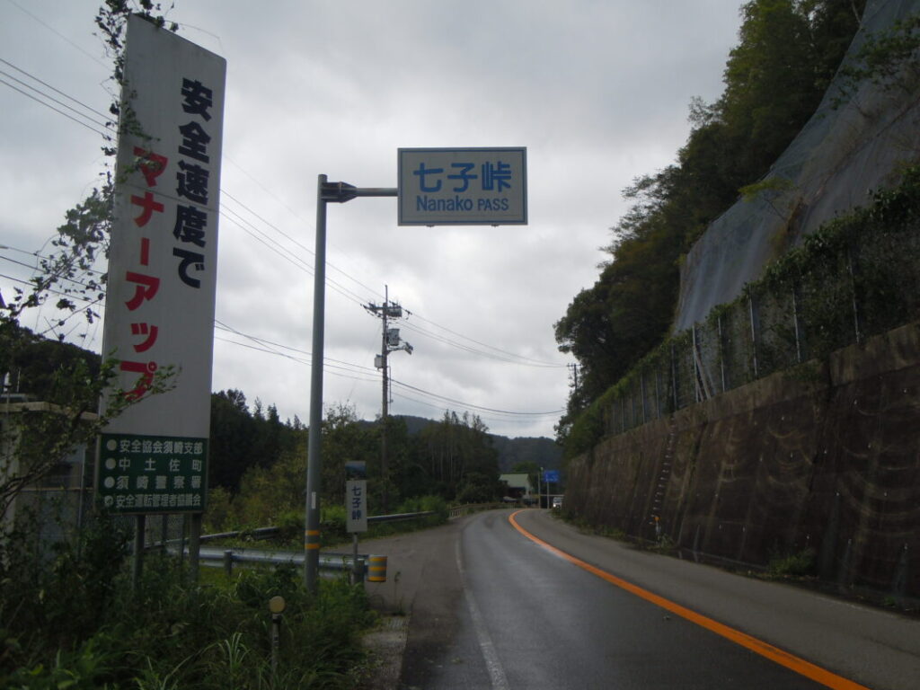
I chose the National Route 56. Although it is easier than the Ōsaka Pilgrimage Trail, it involves a gradual climb of about 5 km (3.1 miles) to the summit. Unlike an unpaved mountain trail, the route follows hard asphalt the entire way, and I found the continuous uphill walking surprisingly tough on my legs. Looking back, this was one of the most physically demanding sections of my pilgrimage.
The alternative Ōsaka Pilgrimage Trail has recently been improved with better signposts, making it easier to follow than in the past. The trail follows the Ōsakadani River for about 4 km (2.5 miles) before a steep final climb of roughly 500 meters (0.3 miles). It is an attractive option for those who want to experience a historic pilgrimage path, but because of the steep ascent, I recommend the National Route 56 for first-time pilgrims.
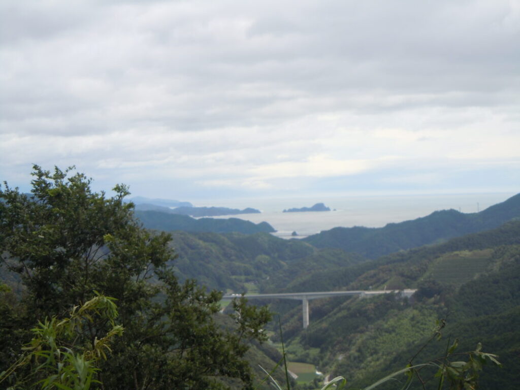
The two routes rejoin at the Nanako Pass Rest Area, where you’ll find restrooms and vending machines—an ideal place to recover after the climb. From the rest area, you can enjoy beautiful views of the surrounding towns and Tosa Bay. I spent some time here myself, resting and taking in the scenery before continuing my journey.
Arriving at Iwamotoji
After crossing Nanako Pass, continue south along National Route 56 for about 15 km (9.3 miles) to reach the town of Kubokawa.
Kubokawa has convenience stores, restaurants, and accommodations, and you can also stay at Iwamotoji’s temple lodging (shukubō). After completing this long and demanding section of the pilgrimage, it is an excellent place to rest and recover.
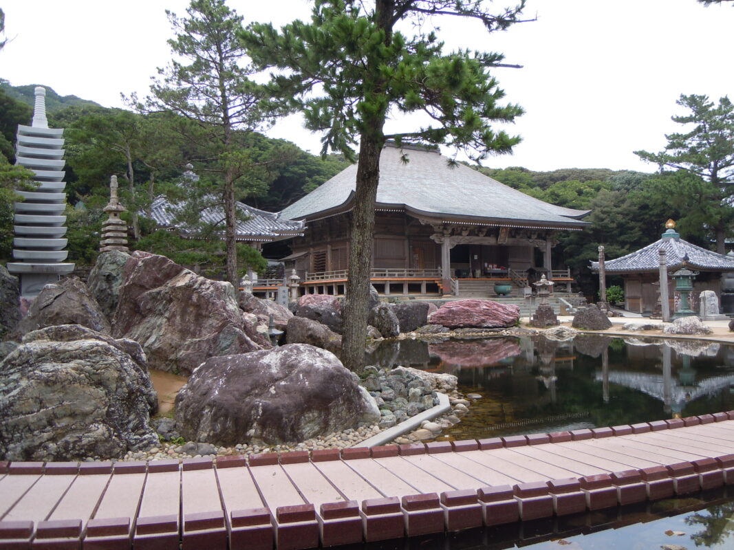
Iwamotoji Main Hall and Ceiling Paintings
What impressed me most at Iwamotoji was the ceiling artwork inside the Main Hall. The ceiling is decorated with 575 unique paintings submitted by artists from across Japan. If you enter the hall, be sure to look up and take in this remarkable collection.
Iwamotoji is also unusual among the Shikoku 88 Temples because it enshrines five principal deities. As a result, pilgrims traditionally chant five different mantras during worship. The mantra for Fudo Myoo (Acala) is especially long, so I spent more time than usual reciting it slowly and offering my prayers.
Nearby Accommodation
If you plan to stay near Iwamotoji or between the surrounding pilgrimage temples, see the article below.
Related Articles
Shikoku 88 Temple Pilgrimage Route: Full List, Distance & Walking Time Guide.
Temple List and Full Route
Comments