
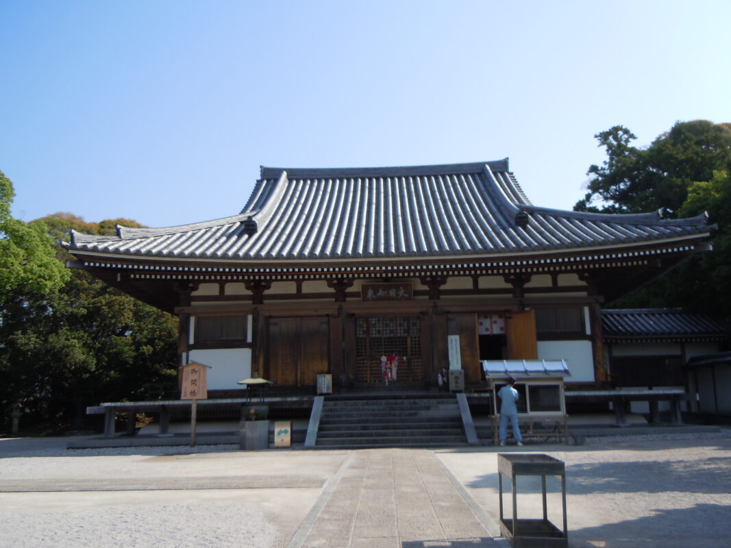
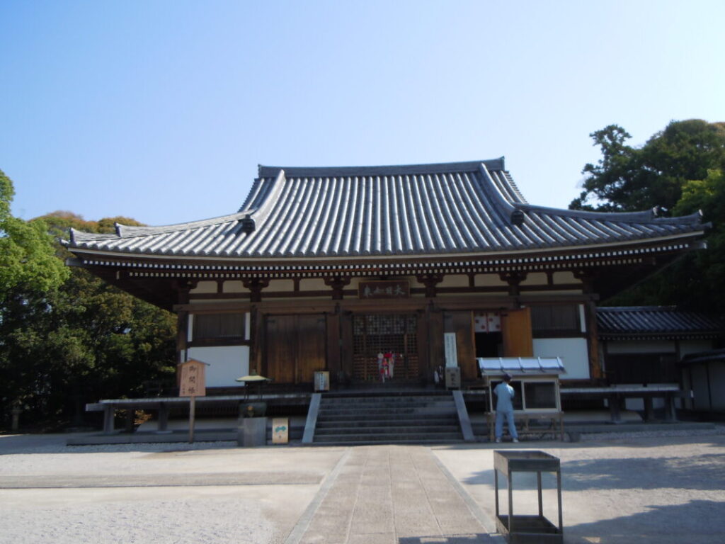
Dainichiji Temple Information
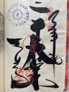
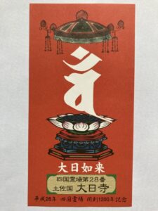
Goshuin
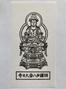
- Omie
- 1,200th Anniversary Edition
Basic Information
| Principal Deity | Dainichi Nyorai |
| Elevation | 70 m |
| Google Maps | MAP |
Accommodation
| Shukubo (Temple Lodging) | Not Available |
| Tsuyado (Free Pilgrim Shelter) | Available |
History & Highlights
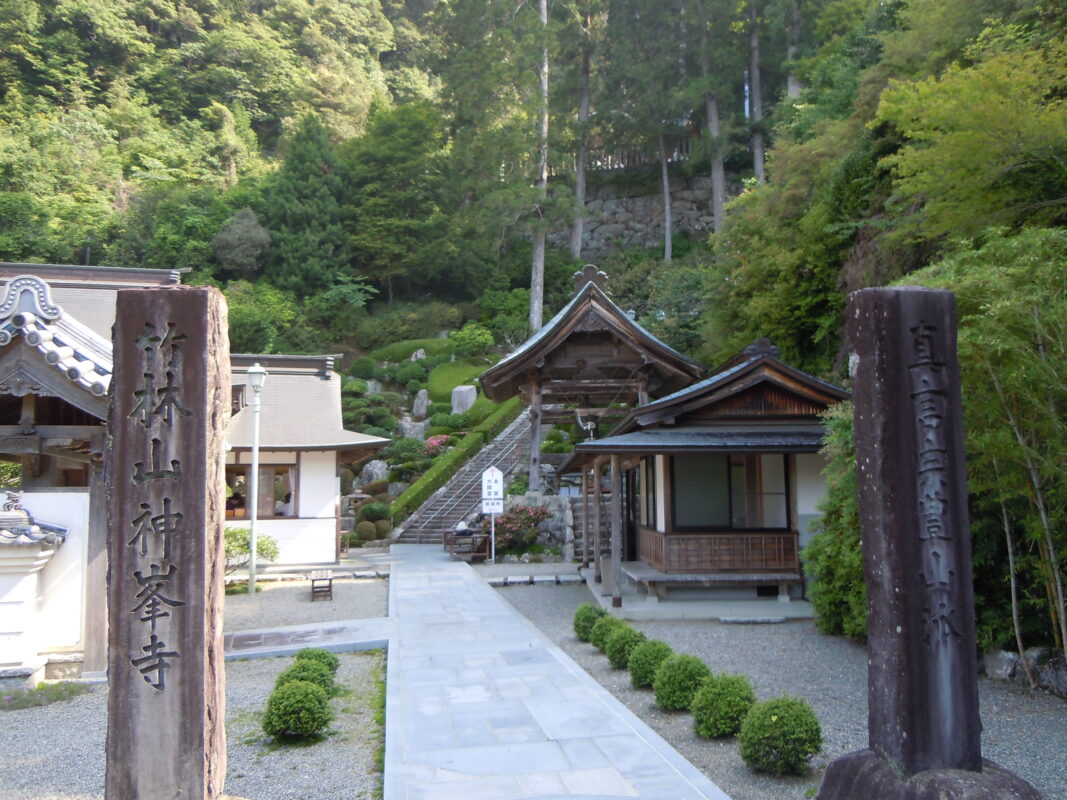
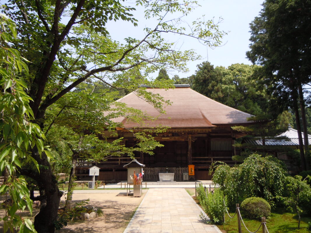
Dainichiji is an ancient temple said to have been founded by Gyōki and later restored by Kōbō Daishi, who is believed to have carved the revered Tsumebori Yakushi (“Nail-Carved Yakushi”) image. The temple is known for its Important Cultural Property, a statue of Dainichi Nyorai, as well as the sacred spring known as Daishi O-Kaji Sui, which is said to have been blessed by Kōbō Daishi.
Route Map, Distance & Travel Time
You can switch between the tabs to view the routes to the previous and next temples.
Select “Driving Route” from the map’s upper-left menu to display the driving route.
Click the Full Screen icon in the upper-right corner of the map to open it in Google Maps for a larger, easier-to-view map.
- From Previous Temple
- To Next Temple
Previous Temple: Konomineji
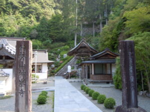
| Distance | 37.5 km |
| Walking | 11 hr |
| Driving | 1 hr |
Next Temple: Kokubunji
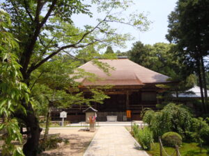
| Distance | 7.5 km |
| Walking | 2 hr 20 min |
| Driving | 20 min |
Transportation Guide
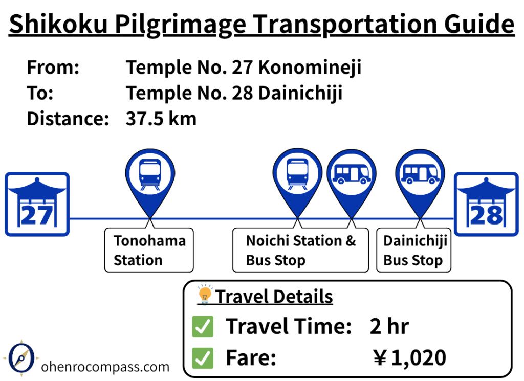
Find the best public transport route from Temple 27 Konomineji to Temple 28 Dainichiji. Travel by train and bus in about 2 hours for ¥1,020, with timetables, transfers, and walking route information.
My Walking Experience
Route from Konomineji to Dainichiji
The route from Konomineji to Dainichiji is straightforward, following National Route 55 northwest. Along the way, there are seaside promenades and dedicated cycling paths beside the highway, making this one of the safer and more comfortable sections for walking pilgrims.
However, the total distance is approximately 40 km (25 miles). Combined with the strenuous climb to and from Konomineji, it is difficult to complete this section in a single day on foot. Planning an overnight stay along the way is highly recommended.
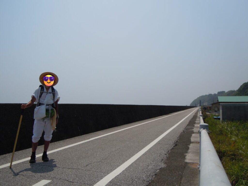
Aki City: A Convenient Place to Stay and Resupply
After walking about 13 km (8 miles) from Konomineji, you will reach Aki City. With convenience stores, restaurants, and accommodations, it is an excellent place to take a break or spend the night.
Akano Rest Area
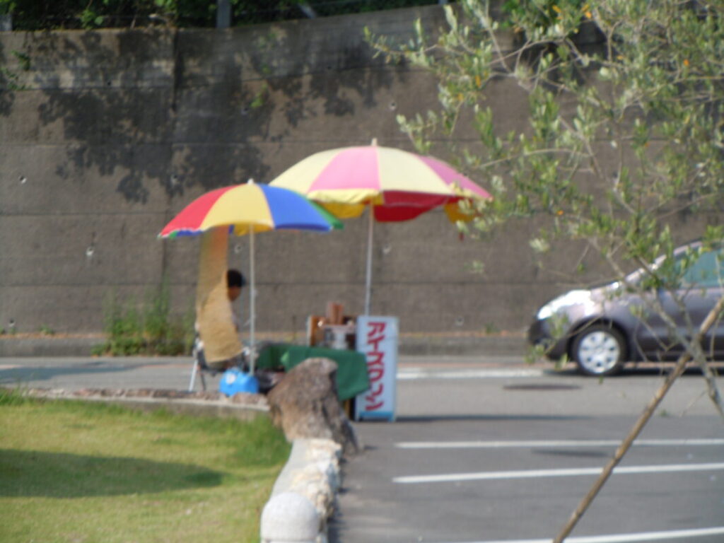
About 20 km (12.4 miles) from Konomineji is the Akano Rest Area, easily recognized by its distinctive European-style building along National Route 55.
There is very little shade on this section of the route, so I stopped here to rest. In the plaza, I bought a cup of Ice Kurin, Kōchi’s famous frozen dessert, from a mobile vendor. Enjoying this local treat on a hot day was one of the highlights of the walk.

Where I Camped: Yasu Roadside Station
I camped overnight at Yasu Roadside Station, located about 30 km (18.6 miles) from Konomineji.
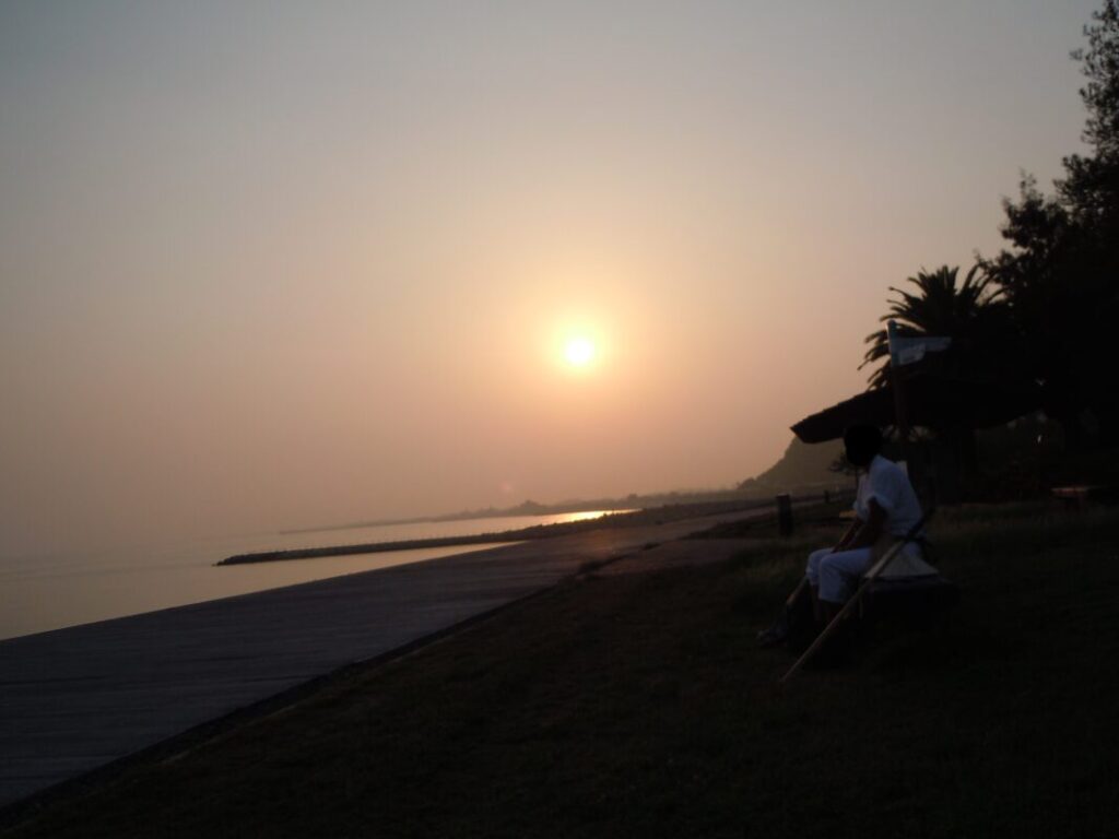
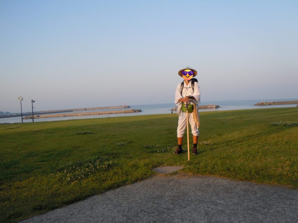
After dinner at the station’s restaurant, I relaxed on the grassy area near the beach behind the facility. During the summer season, coin-operated showers are also available, making it a convenient stop for walking pilgrims.
As the sun set over the Pacific Ocean, I sat watching the evening light and reflected on the day’s journey from Konomineji. It was one of those unforgettable moments that make the coastal pilgrimage through Kōchi so memorable.
Leaving the Coast Behind
Dainichiji is located about 5 km (3.1 miles) inland from the coast in Kōnan City. After following the coastline from Tokushima all the way to Cape Muroto, the pilgrimage route finally turns inland.
Beyond Dainichiji, the scenery changes dramatically. The ocean views give way to rice fields, quiet farming villages, and the peaceful rural landscapes that characterize the next stage of the Shikoku Pilgrimage.
Nearby Accommodation
If you plan to stay near Dainichiji or between the surrounding pilgrimage temples, see the article below.
Related Articles
Shikoku 88 Temple Pilgrimage Route: Full List, Distance & Walking Time Guide.
Temple List and Full Route
Why Do Some Temples Have the Same Name on the Shikoku Pilgrimage?
Why Do Temples Have the Same Name?
Comments