
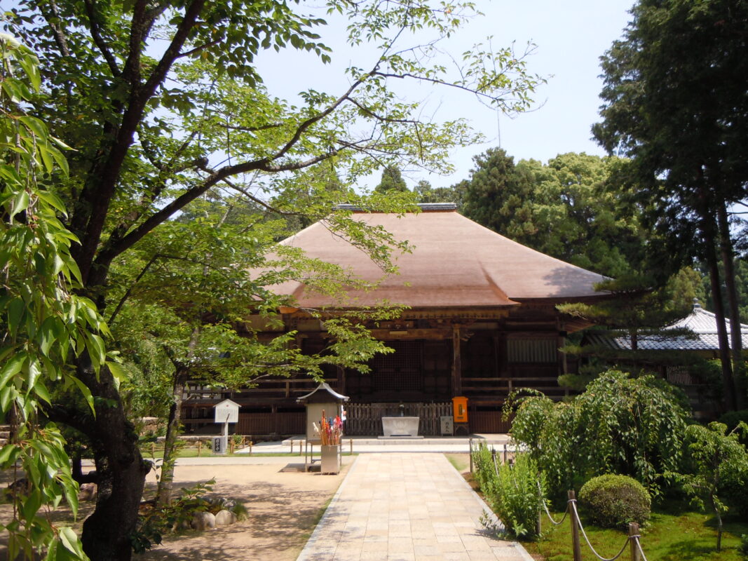
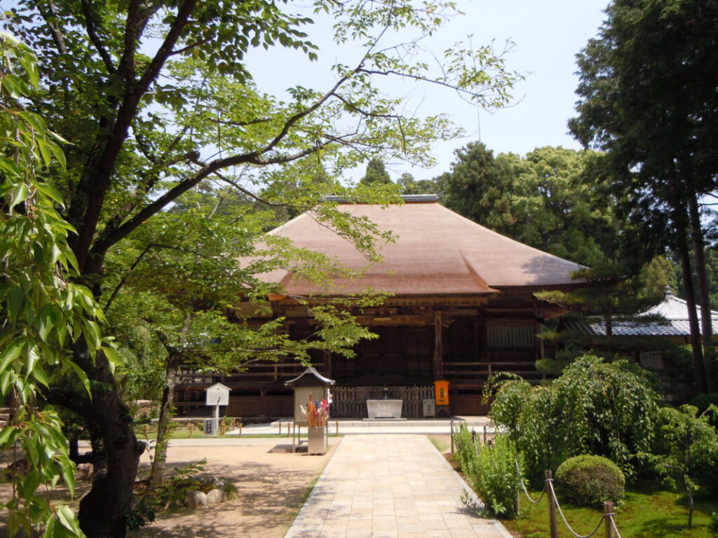
Kokubunji Temple Information
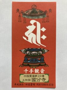
Goshuin
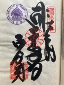
- Omie
- 1,200th Anniversary Edition
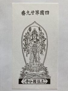
Basic Information
| Principal Deity | Thousand-Armed Avalokiteśvara |
| Elevation | 10 m |
| Google Maps | MAP |
Accommodation
| Shukubo (Temple Lodging) | Not Available |
| Tsuyado (Free Pilgrim Shelter) | Not Available |
History & Highlights
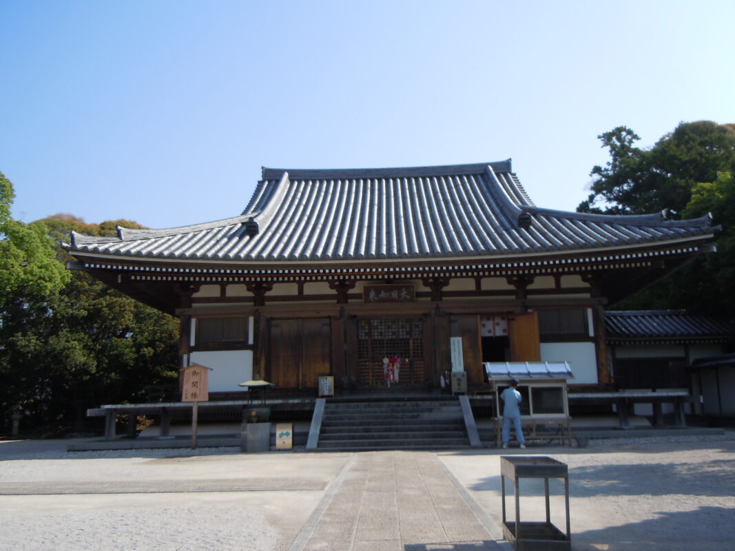
Kokubunji is said to have been founded by Gyōki under the imperial decree of Emperor Shōmu as one of Japan’s provincial temples. It is also renowned as the principal temple for the Hoshiku (Star Offering) ritual, a tradition closely associated with Kōbō Daishi. The Main Hall, designated an Important Cultural Property, and the temple’s beautiful moss garden, which has earned it the nickname “Tosa’s Moss Temple,” are among its most celebrated highlights.
Route Map, Distance & Travel Time
You can switch between the tabs to view the routes to the previous and next temples.
Select “Driving Route” from the map’s upper-left menu to display the driving route.
Click the Full Screen icon in the upper-right corner of the map to open it in Google Maps for a larger, easier-to-view map.
- From Previous Temple
- To Next Temple
Previous Temple: Dainichiji
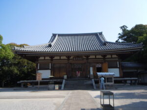
| Distance | 7.5 km |
| Walking | 2 hr 20 min |
| Driving | 20 min |
Next Temple: Zenrakuji
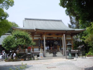
| Distance | 6.9 km |
| Walking | 2 hr |
| Driving | 30 min |
Transportation Guide
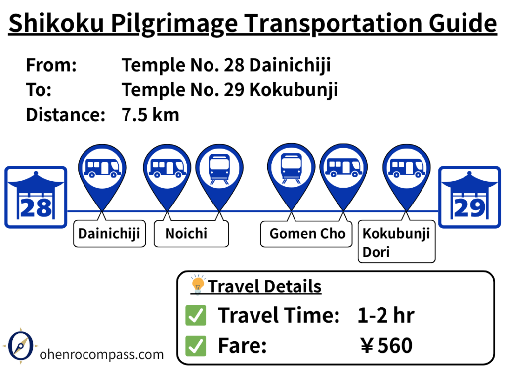
Travel from Dainichiji (28th Temple) to Kokubunji (29th Temple) by train and bus in about 1–2 hours for ¥560. Includes route details, transfers, timetables and a comparison with walking.
My Walking Experience
Route from Dainichiji to Kokubunji
The route from Dainichiji to Kokubunji heads west through Kami and Nankoku City, about 10 km (6.2 miles) inland from Tosa Bay. The scenery changes noticeably from the coastal pilgrimage route that stretches from Cape Muroto. For the next several stages, you’ll walk mainly through peaceful rice fields and rural villages.
Although some sections follow narrow, winding roads, the pilgrimage route is well marked. By following the route map in this article and the official pilgrimage signposts, you should have little difficulty finding your way.
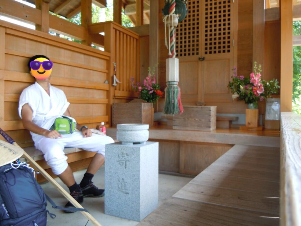
A Rest at Matsumoto Daishidō
After crossing the Monobe River, be sure to turn left immediately after the bridge. The route then continues west through farmland lined with greenhouses.
After walking about 5 km (3.1 miles), you’ll reach Matsumoto Daishidō, roughly the midpoint of the route. With restrooms available, it is an excellent place for walking pilgrims to take a break.
When I stopped here, another walking pilgrim from Hokkaidō was also resting. I still remember us chatting and asking each other where we had come from—a small but memorable encounter on the pilgrimage.
Almost at Kokubunji
Continuing west from Matsumoto Daishidō, you’ll cross the JR Dosan Line railway tracks. After crossing the Kokubu River, Kokubunji is immediately on your left.
The grove of trees surrounding the temple stands out from the surrounding countryside, making it easy to recognize as you approach.
Nagaoka Onsen
Nagaoka Onsen is located along the pilgrimage route, about 2 km (1.2 miles) south of Kokubunji, making it a convenient stop for walking pilgrims.
I didn’t have enough time to visit during my journey, but if your schedule allows, it’s a great place to relax and soothe tired muscles before continuing your pilgrimage.
Nearby Accommodation
If you plan to stay near Kokubunji or between the surrounding pilgrimage temples, see the article below.
Related Articles
Shikoku 88 Temple Pilgrimage Route: Full List, Distance & Walking Time Guide.
Temple List and Full Route
Why Do Some Temples Have the Same Name on the Shikoku Pilgrimage?
Why Do Temples Have the Same Name?
Comments