
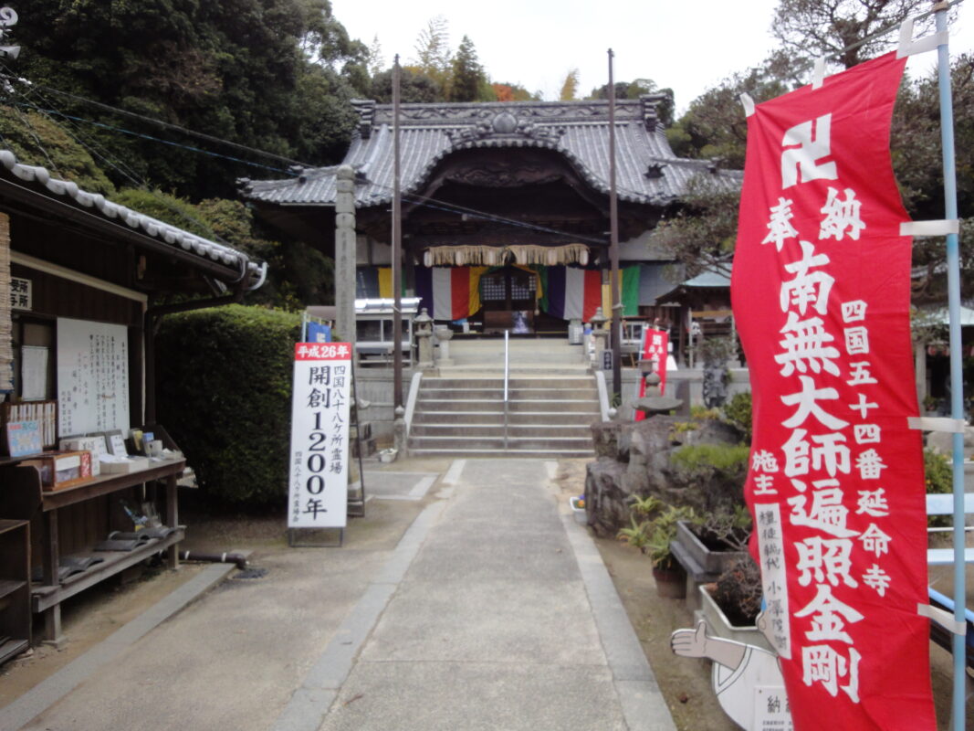
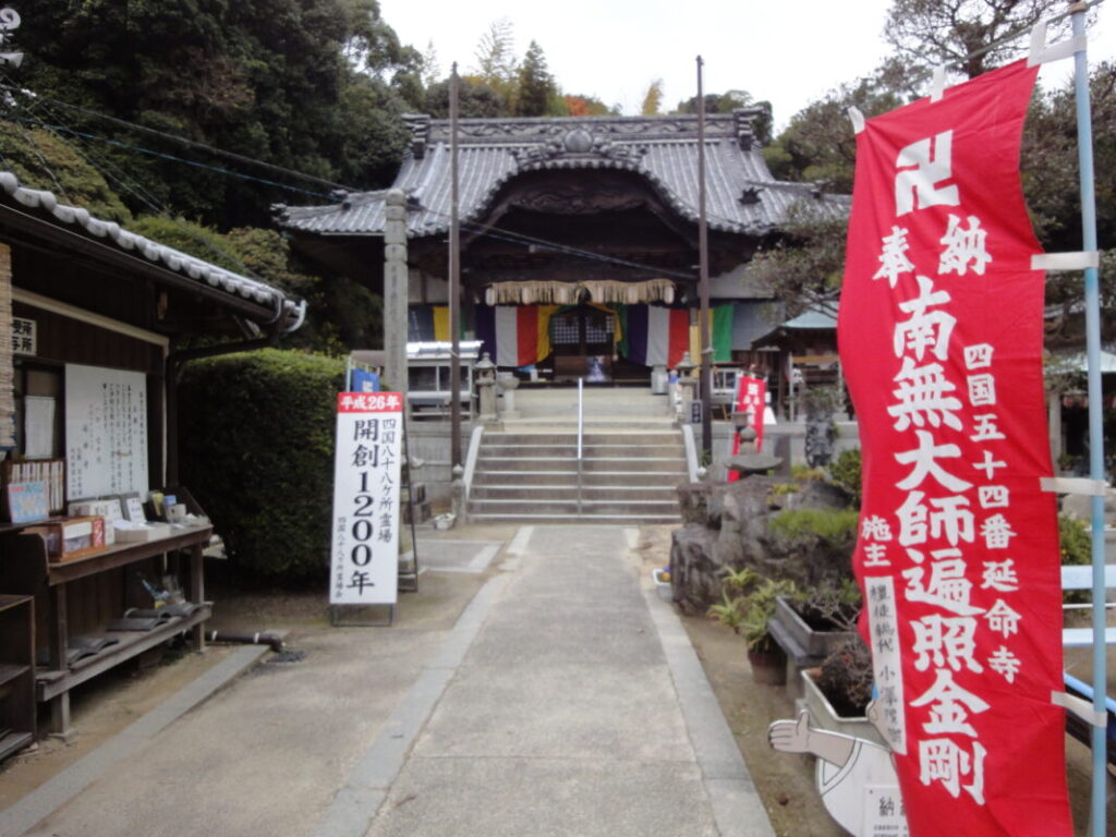
Enmeiji Temple Information
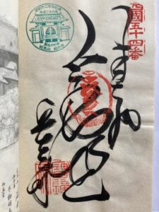
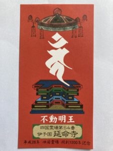
Goshuin
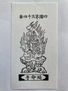
- Omie
- 1,200th Anniversary Edition
Basic Information
| Principal Deity | Fudo Myoo |
| Elevation | 20 m |
| Google Maps | MAP |
Accommodation
| Shukubo (Temple Lodging) | Not Available |
| Tsuyado (Free Pilgrim Shelter) | Not Available |
History & Highlights
Enmeiji is said to have been founded by Gyōki and later restored by Kūkai (Kōbō Daishi). In the past, the temple had a large complex on Mount Chikami, with many monks’ quarters and buildings flourishing across the mountain. Despite suffering repeated fires throughout its history, Enmeiji has endured and continues to be cherished by local residents and pilgrims today.
Notes
Parking fee: ¥100
Route Map, Distance & Travel Time
You can switch between the tabs to view the routes to the previous and next temples.
Select “Driving Route” from the map’s upper-left menu to display the driving route.
Click the Full Screen icon in the upper-right corner of the map to open it in Google Maps for a larger, easier-to-view map.
- From Previous Temple
- To Next Temple
Previous Temple: Enmyoji
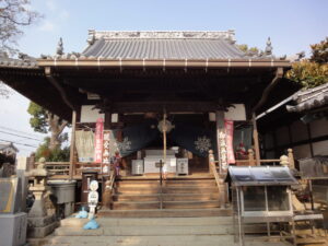
| Distance | 34.4 km |
| Walking | 10 hr |
| Driving | 1 hr |
Next Temple: Nankobo
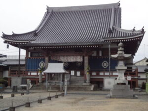
| Distance | 3.4 km |
| Walking | 1 hr |
| Driving | 15 min |
Transportation Guide
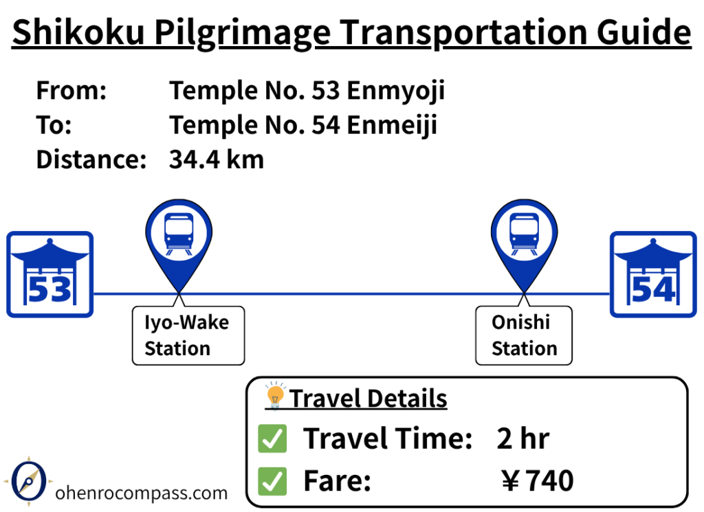
Find the train route from Temple 53, Enmyoji, to Temple 54, Enmeiji, on the Shikoku Pilgrimage. See travel time, fares, timetables, transfers, and how the train route compares with walking.
My Walking Experience
The route from Enmyoji to Enmeiji is approximately 35 km (21.7 miles) northeast.
This section follows the coastline of Iyo-nada Sea, offering peaceful scenery that feels different from the vast Pacific Ocean views experienced earlier in Kōchi Prefecture.
Between Iyo-Hōjō and Asanami, the trail crosses Kōnosaka Pass, adding a mountain section to the coastal walk. With both seaside views and quiet mountain paths, this is a route that captures the unique character of the Ehime section of the Shikoku Pilgrimage.
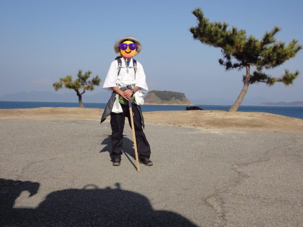
Walking Along the Coast of the Iyo-nada Sea
After leaving Enmyoji, first head north along Prefectural Route 347.
The National Route 196 runs parallel to this road, but it has heavier traffic and includes tunnels, so the prefectural route is recommended for walking pilgrims.
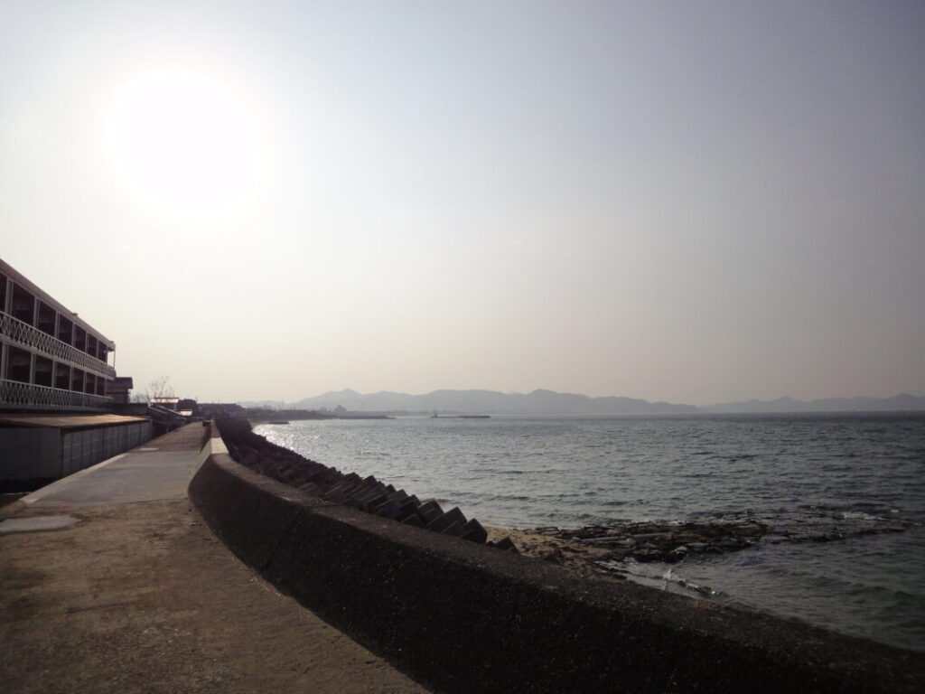
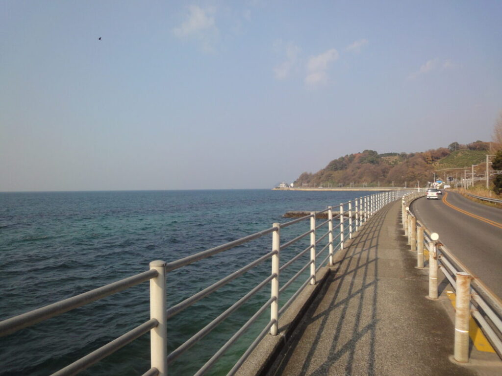
After about one hour of walking, you will reach the coastline of the Iyo-nada Sea.
The Pacific Ocean I encountered in Kōchi Prefecture had a wild and powerful presence, but the Iyo-nada Sea shows a much calmer and gentler side. After walking through the earlier pilgrimage stages known as the “Place of Awakening” (Tokushima) and the “Place of Spiritual Training” (Kōchi), I felt that this peaceful scenery perfectly represented the atmosphere of Iyo, known as the “Place of Enlightenment” (Bodai no Dōjō).
Accommodation Planning in Iyo-Hōjō
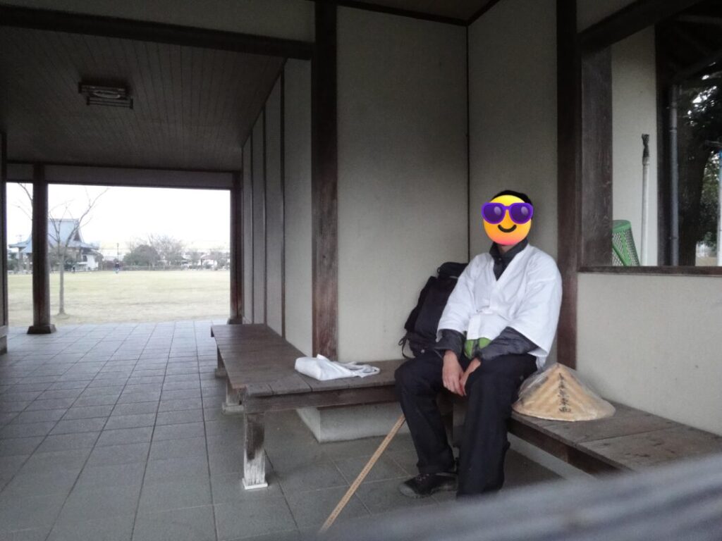
I spent the night camping at Bunka no Mori Park in Iyo-Hōjō, located about 10 km (6.2 miles) from Enmyoji.
Although it was the middle of winter, the area is relatively flat, so it was not as cold as the mountain sections I had walked through earlier. I remember finding it a fairly comfortable place to spend the night. There are also convenience stores and restaurants nearby, making it a convenient area for walking pilgrims.
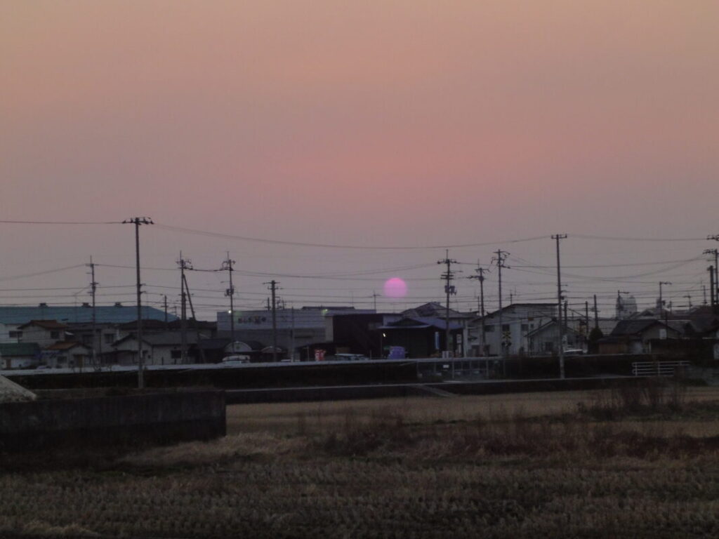
In the evening, I watched the sunset over the Iyo countryside and reflected on the distance I had walked that day.
Please note that after passing Iyo-Hōjō, accommodation options become limited for approximately 20 km (12.4 miles). Whether you plan to stay at a lodging facility or camp along the way, it is recommended to plan your route and overnight stop in advance.
Crossing Kōnosaka Pass
After leaving Iyo-Hōjō, the route splits into two options: a coastal road route and a route that crosses Kōnosaka Pass.
The Kōnosaka Pass route can be slightly difficult to find, but it shortens the distance by about 1 km (0.6 miles), so it is a popular choice among many walking pilgrims.
From the pass, which stands at an elevation of approximately 80 m (262 ft), you can enjoy panoramic views of the Seto Inland Sea and the towns spread out below.
Along the way, you will also find Kamadashi, a small sacred site associated with Kūkai (Kōbō Daishi). According to legend, the great master carved an image of himself into stone using a sickle (kama).
Omotenashi in Kikuma
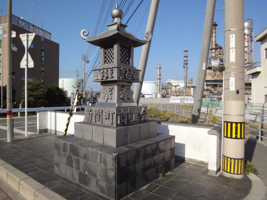
Around the 20 km (12.4 miles) point, you will reach Kikuma Town, an area famous for its traditional Kikuma roof tiles.
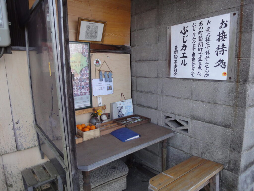
Along the pilgrimage route, there is an omotenashi (pilgrim hospitality) station where local people offer gifts to walkers. When I visited, small handmade ceramic accessories made using roof tiles were being given to pilgrims.
I received a tiny ceramic piece shaped like a waraji (traditional straw sandal), and I still treasure it today as a reminder of my pilgrimage and the journey toward completing the Shikoku Pilgrimage.
Camping at Hoshi no Ura Seaside Park
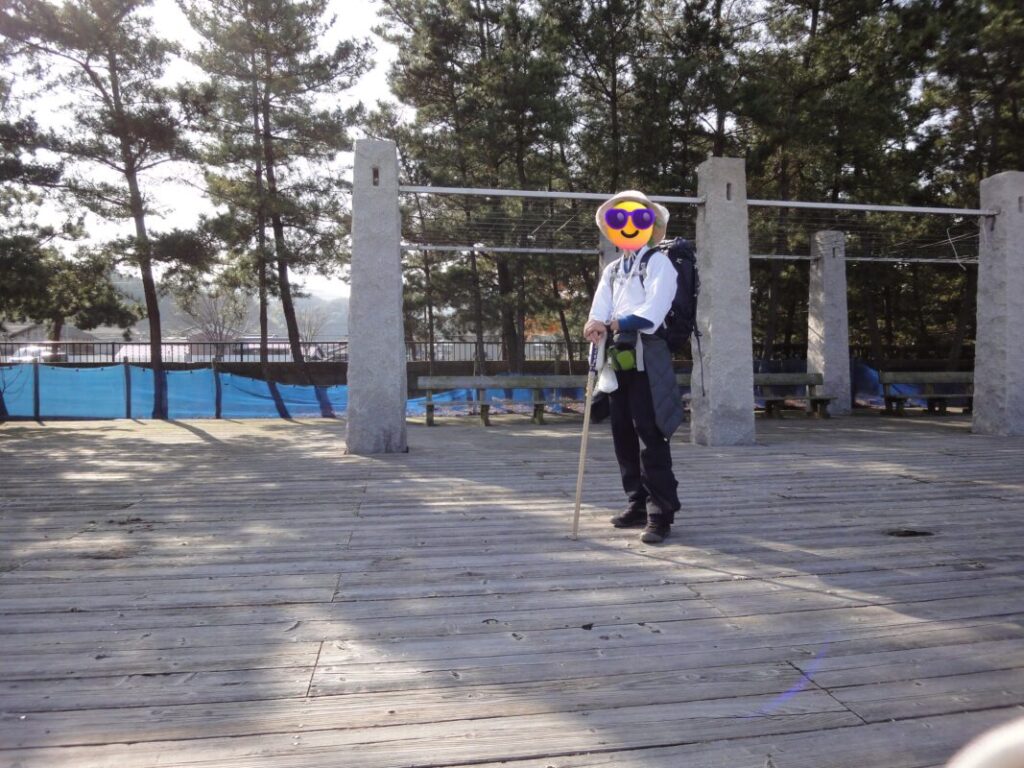
During my second walking pilgrimage, I spent the night at Hoshi no Ura Seaside Park, located about 5 km (3.1 miles) from Enmeiji.
The park faces the sea and has a swimming beach and a large parking area. Being able to hear the waves nearby was a memorable and enjoyable part of the stay.
However, the parking area was still used by visitors late at night, with cars coming and going every few dozen minutes. When I stayed there, I was occasionally disturbed by engine noises and vehicle headlights, so those seeking a completely quiet place to sleep should keep this in mind.
It is a beautiful seaside location, but the atmosphere can vary depending on the time of day and the season.
History of Enmeiji (Formerly Enmyoji)
Why the Temple Changed Its Name
Enmeiji was originally known as Enmyoji (圓明寺). However, there was another temple with the same name among the 88 sacred sites of the Shikoku Pilgrimage: Temple No. 53, Enmyoji in Matsuyama.
Because of this, pilgrims often became confused between the two temples. To avoid this confusion, the temple officially adopted the name Enmeiji (延命寺), a popular name that had been used since the Edo period.
Even I sometimes found myself confusing this temple with Temple No. 53 Enmyoji. This unusual history makes Enmeiji one of the more memorable stories of the Shikoku Pilgrimage.
Shin Nen’s Pilgrimage Marker
Within the temple grounds stands a pilgrimage marker erected by Shin Nen, a famous guide and writer who helped develop the Shikoku Pilgrimage during the Edo period.
This marker is considered the second oldest surviving Shin Nen pilgrimage marker in Shikoku and is an important historical artifact that preserves the pilgrimage culture of the past. It is fascinating to imagine that pilgrims from centuries ago may have followed this very marker on their journey across Shikoku.
Nearby Accommodation
If you plan to stay near Enmeiji or between the surrounding pilgrimage temples, see the article below.
Related Articles
Shikoku 88 Temple Pilgrimage Route: Full List, Distance & Walking Time Guide.
Temple List and Full Route
Comments