
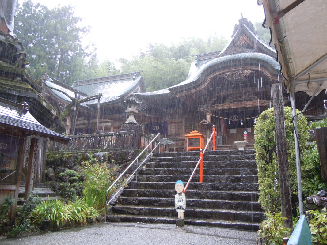
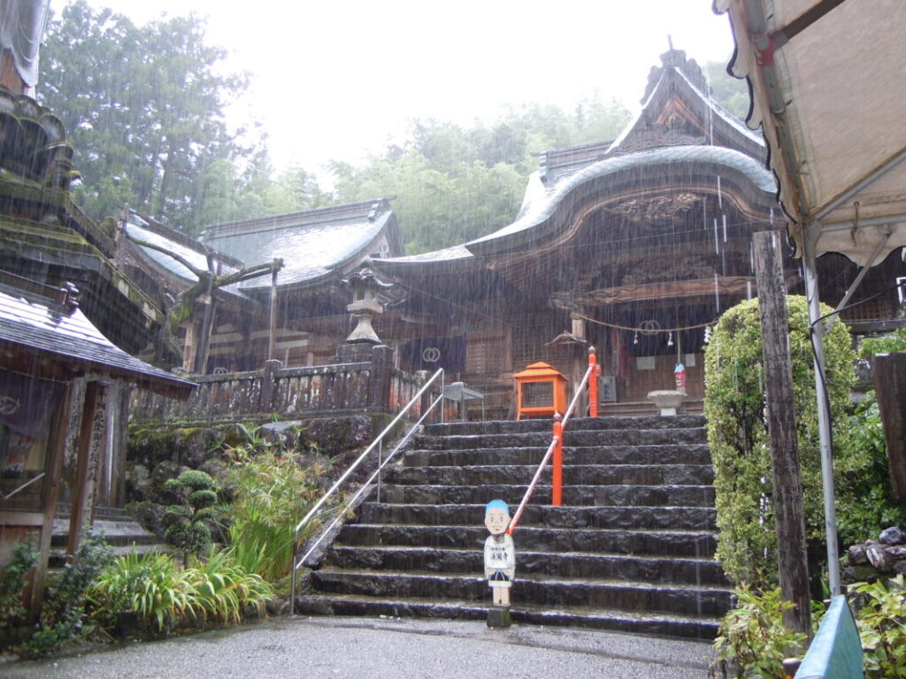
Kiyotakiji Temple Information
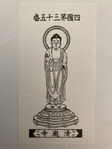
Goshuin

- Omie
- 1,200th Anniversary Edition

Basic Information
| Principal Deity | Yakushi Nyorai |
| Elevation | 140 m |
| Google Maps | MAP |
Accommodation
| Shukubo (Temple Lodging) | Not Available |
| Tsuyado (Free Pilgrim Shelter) | Not Available |
History & Highlights
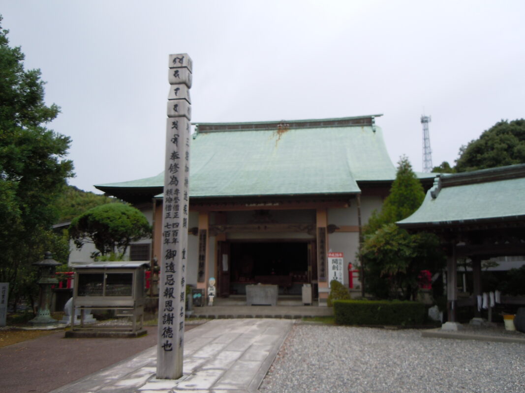
Kiyotakiji is a historic temple said to have originated when Gyōki enshrined Yakushi Nyorai (the Medicine Buddha). It was later developed into a sacred pilgrimage site by Kōbō Daishi. The temple’s natural spring water is also believed to have contributed to the development of Tosa washi, the region’s traditional handmade paper. Today, Kiyotakiji continues to attract many worshippers who pray to Yakushi Nyorai for protection from misfortune and good health.
Notes
The approach road to the temple is very narrow, so please use extra caution when passing through.
Route Map, Distance & Travel Time
You can switch between the tabs to view the routes to the previous and next temples.
Select “Driving Route” from the map’s upper-left menu to display the driving route.
Click the Full Screen icon in the upper-right corner of the map to open it in Google Maps for a larger, easier-to-view map.
- From Previous Temple
- To Next Temple
Previous Temple: Tanemaji
| Distance | 9.8 km |
| Walking | 3 hr |
| Driving | 40 min |
Next Temple: Shoryuji
| Distance | 13.9 km |
| Walking | 4 hr |
| Driving | 50 min |
Transportation Guide
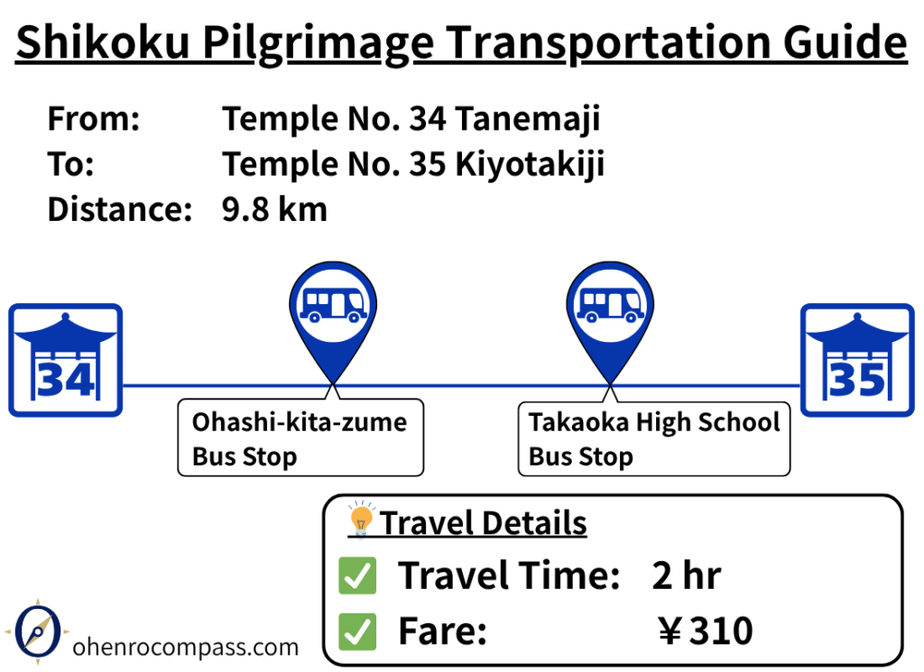
Travel from Tanemaji (34th Temple) to Kiyotakiji (35th Temple) by bus in about 2 hours for ¥310. Includes bus stops, timetable, walking distance and a comparison with the walking route.
My Walking Experience
Crossing the Niyodo River
The route from Tanemaji to Kiyotakiji crosses the Niyodo River, which forms part of the boundary between Kōchi City and Tosa City.
After leaving Tanemaji, follow Prefectural Route 279 west to the bridge carrying National Route 56 across the river. The bridge has a wide pedestrian sidewalk, making it a safe crossing for walking pilgrims.
Before reaching the far end of the bridge, use the pedestrian underpass to move to the opposite side of the road. This makes it much easier to join the pilgrimage route on the other side. Simply follow the pilgrimage signposts.
Watch for the Junction to Shoryuji
After crossing the Niyodo River, you’ll enter Tosa City, where the route briefly overlaps with the pilgrimage route leading to Temple 36: Shoryuji.
If you are heading to Kiyotakiji, continue northwest. Be careful not to follow the signposts toward Shoryuji, which lead south.
The Final Climb to Kiyotakiji
About 8 km (5 miles) from Tanemaji, the route passes beneath the Kōchi Expressway.
From there, you’ll follow a narrow road for approximately 1 km (0.6 miles). Since the road is quite narrow in places, watch carefully for passing vehicles.
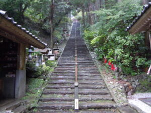
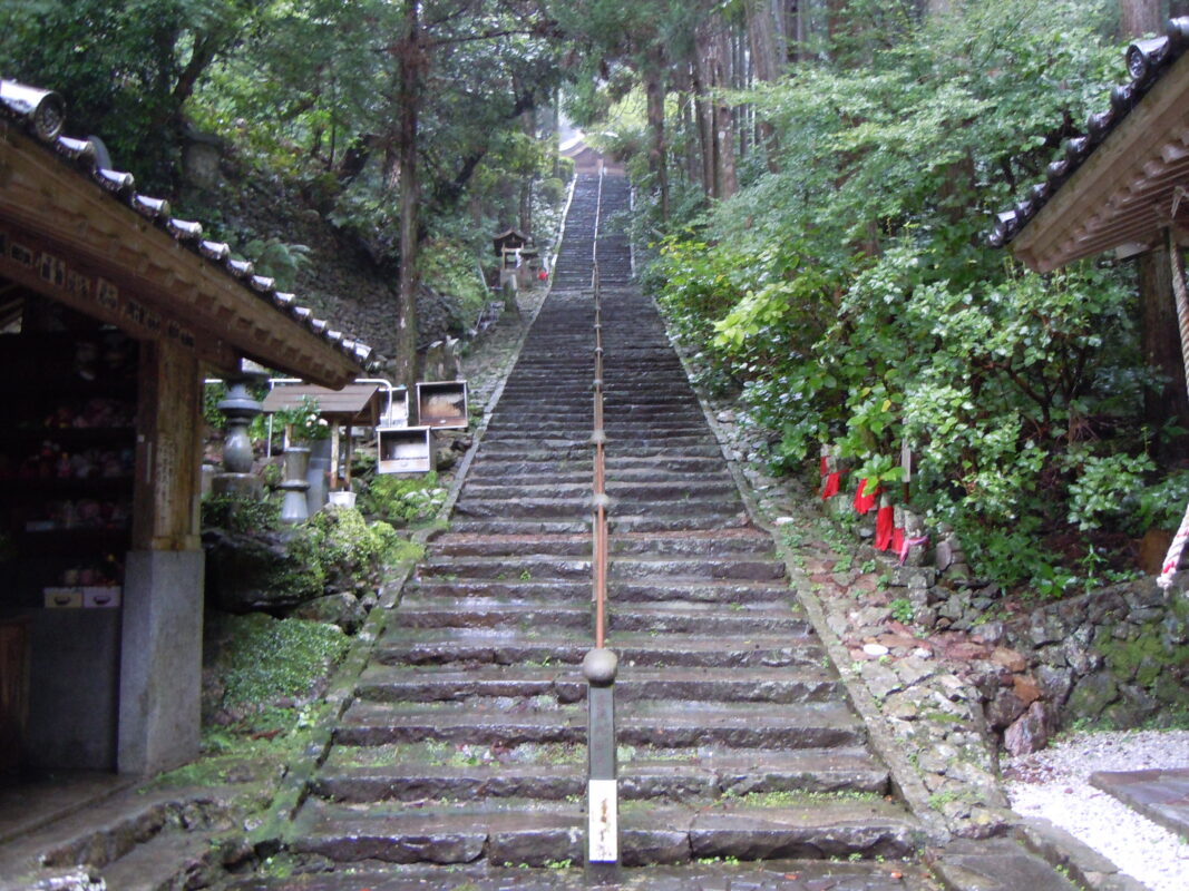
Kiyotakiji stands on a hillside at an elevation of approximately 140 meters (459 ft), so the final approach is uphill before reaching the temple.
Nearby Accommodation
If you plan to stay near Kiyotakiji or between the surrounding pilgrimage temples, see the article below.
Related Articles
Shikoku 88 Temple Pilgrimage Route: Full List, Distance & Walking Time Guide.
Temple List and Full Route
Comments