
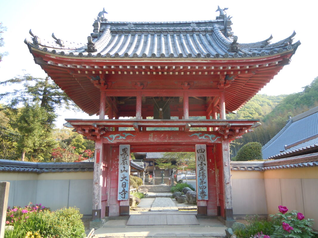
Dainichiji Temple Information
Goshuin

- Omie
- 1,200th Anniversary Edition


Basic Information
| Principal Deity | Dainichi Nyorai |
| Elevation | 75 m |
| Google Maps | MAP |
Accommodation
| Shukubo (Temple Lodging) | Not Available |
| Tsuyado (Free Pilgrim Shelter) | Not Available |
History & Highlights
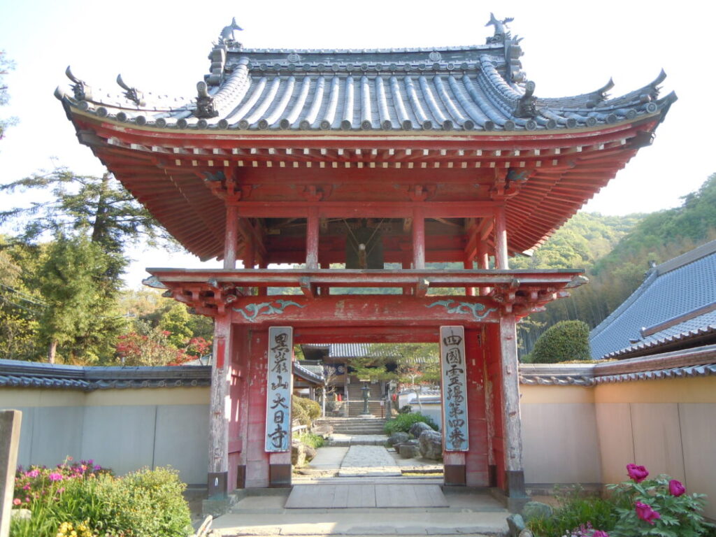
Dainichiji is an ancient temple said to have been founded by Kōbō Daishi after receiving a vision of Dainichi Nyorai (Mahāvairocana Buddha). Despite repeated periods of decline and reconstruction, the temple survived under the patronage of successive feudal lords. Its Main Hall, built during the Edo period, is an important historic structure that enshrines a hidden seated statue of Dainichi Nyorai, which is not normally open to the public.
Route Map, Distance & Travel Time
You can switch between the tabs to view the routes to the previous and next temples.
Select “Driving Route” from the map’s upper-left menu to display the driving route.
Click the Full Screen icon in the upper-right corner of the map to open it in Google Maps for a larger, easier-to-view map.
- From Previous Temple
- To Next Temple
Previous Temple: Konsenji
| Distance | 5 km |
| Walking | 1 hr 30 min |
| Driving | 15 min |
Next Temple: Jizoji
| Distance | 2 km |
| Walking | 30 min |
| Driving | 10 min |
Transportation Guide
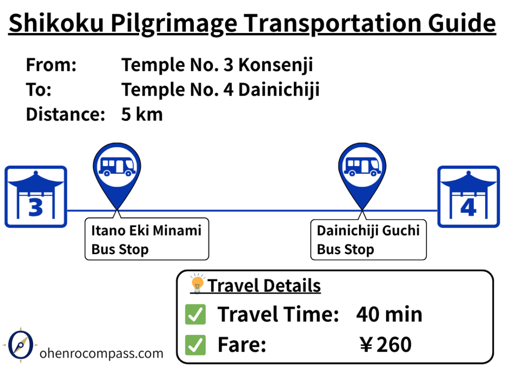
Find the bus route from 3rd Temple Konsenji to 4th Temple Dainichiji on the Shikoku Pilgrimage. Travel takes about 40 minutes and costs ¥260. Includes fares, travel time, bus stops, timetables, and a comparison with the walking route.
My Walking Experience
Walk Along a Traditional Pilgrimage Trail
The route from Konsenji to Dainichiji includes a section of the original pilgrimage trail, offering a glimpse of the old walking route used by pilgrims for centuries. Although the entrance can be a little difficult to spot, simply follow the old road west, pass beneath the Tokushima Expressway overpass, and then follow the pilgrimage signs into a narrow trail through the trees. The trail is less than 1 km (0.6 miles) long, but it retains much of its historic atmosphere.
Not Shown on Google Maps
This section of the pilgrimage trail does not appear on Google Maps. I have added it as a trail route on the map included in this article, so you can use it as a reference while walking.
A Gentle Uphill Walk to Dainichiji
Dainichiji is situated on a hillside at an elevation of approximately 75 meters (246 ft), so the final approach is a gentle uphill climb. Using a kongō-zue (pilgrim’s walking staff) can help reduce the strain on your legs during the ascent.
Nearby Accommodation
If you plan to stay near Dainichiji or between the surrounding pilgrimage temples, see the article below.
Related Articles
Shikoku 88 Temple Pilgrimage Route: Full List, Distance & Walking Time Guide.
Temple List and Full Route
Why Do Some Temples Have the Same Name on the Shikoku Pilgrimage?
Why Do Temples Have the Same Name?
Comments