
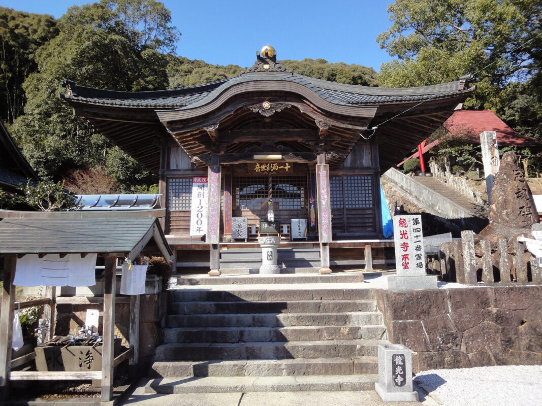
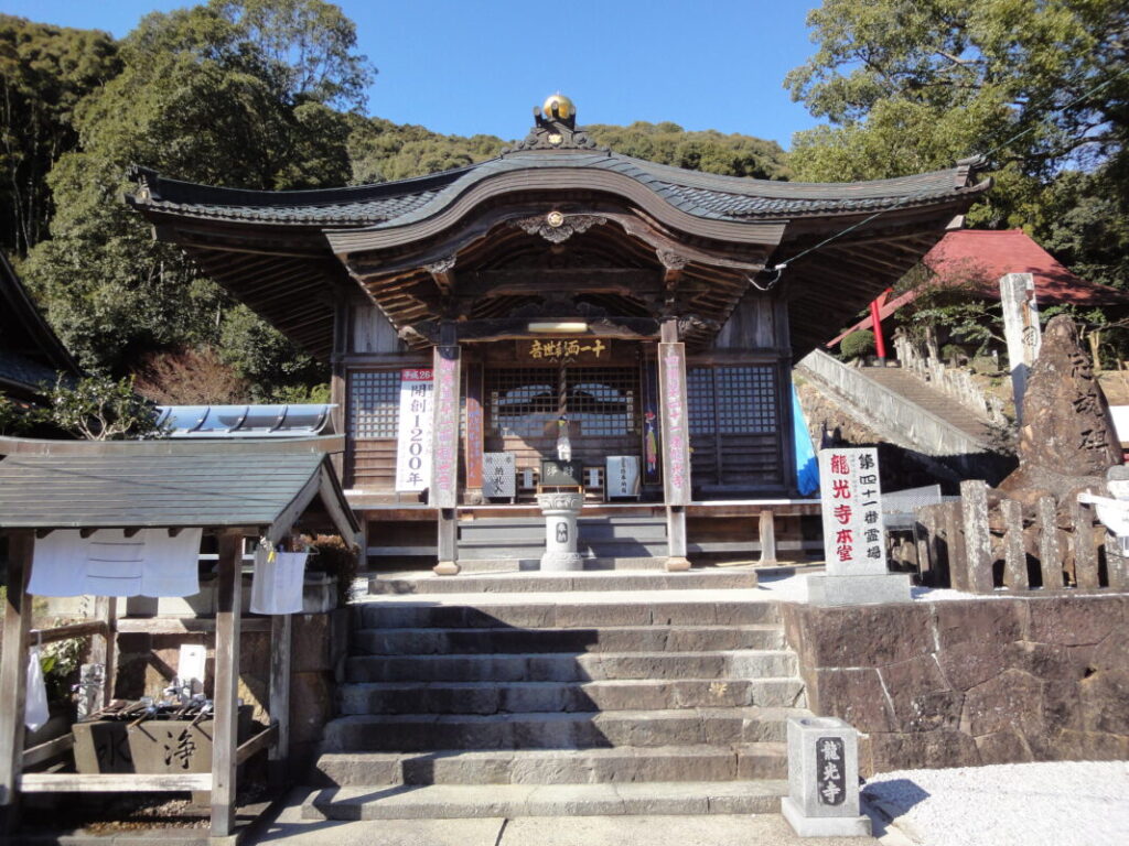
Ryukoji Temple Information
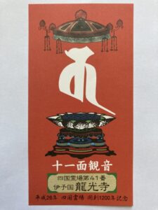
Goshuin
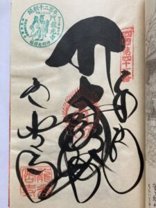
- Omie
- 1,200th Anniversary Edition
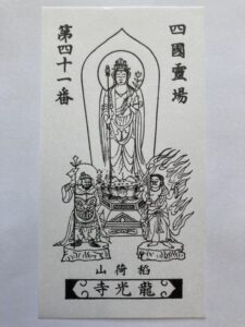
Basic Information
| Principal Deity | Eleven-Faced Bodhisattva |
| Elevation | 190 m |
| Google Maps | MAP |
Accommodation
| Shukubo (Temple Lodging) | Not Available |
| Tsuyado (Free Pilgrim Shelter) | Not Available |
History & Highlights
Ryukoji is traditionally believed to have been founded by Kōbō Daishi, who enshrined Inari Myōjin here. The temple preserves the legacy of Shinto-Buddhist syncretism and is affectionately known as “Mima no Oinari-san.” The principal image, Jūichimen Kannon (the Eleven-Faced Bodhisattva of Compassion), is enshrined in the Main Hall, and the temple continues to attract many worshippers today.
Notes
The Kashiwazaka Pilgrimage Trail has a few places where it’s easy to lose the route, so walk carefully.
Route Map, Distance & Travel Time
You can switch between the tabs to view the routes to the previous and next temples.
Select “Driving Route” from the map’s upper-left menu to display the driving route.
Click the Full Screen icon in the upper-right corner of the map to open it in Google Maps for a larger, easier-to-view map.
- From Previous Temple
- To Next Temple
Previous Temple: Kanjizaiji
| Distance | 50.2 km |
| Walking | 16 hr |
| Driving | 1 hr 30 min |
Next Temple: Butsumokuji
| Distance | 2.6 km |
| Walking | 50 min |
| Driving | 10 min |
Transportation Guide
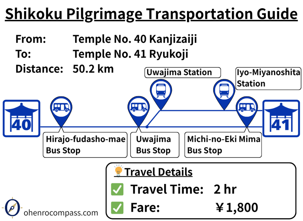
Find the train and bus routes from Temple 40, Kanjizaiji, to Temple 41, Ryukoji, on the Shikoku Pilgrimage. See fares, timetables, travel times, transfers, and route options via Uwajima.
My Walking Experience
Ryukoji is located about 50 km (31 miles) north of Kanjizaiji. For walking pilgrims, this is a 2–3 day stage. There are two main options: following National Route 56 or taking the traditional Kashiwazaka Route, which follows the historic pilgrimage trail.
Each route offers a different experience, so it’s worth choosing the one that best suits your fitness level and travel goals. I have completed the pilgrimage in both the clockwise and counterclockwise directions, and on both occasions I chose the Kashiwazaka Route.
The Historic Kashiwazaka Pilgrimage Trail
Leave Kanjizaiji and follow National Route 56 northwest. After about 10 km (6.2 miles), you’ll reach the Kashiwa area, where the Kashiwazaka Trail branches off. The trailhead is clearly marked with signposts, making it easy to find.
Kashiwazaka is a historic pilgrimage trail that crosses a mountain pass at an elevation of just under 500 m (1,640 ft). The mountain trail stretches for approximately 10 km (6.2 miles) through beautiful natural surroundings. However, there are no convenience stores or other resupply points along the trail, so it’s best to buy food and drinking water at the convenience store near the foot of the mountain before starting the climb.
Alternatively, you can stay on National Route 56, which follows the Iyo coastline and passes through several tunnels. This route has less elevation gain and is generally easier to walk than the Kashiwazaka Trail, making it a good choice for pilgrims who want to conserve their energy.
A Common Place to Lose the Trail on the Kashiwazaka Route
Although the Kashiwazaka Trail is a beautiful and peaceful pilgrimage route, it can be confusing in places—especially for pilgrims walking in the reverse direction.
One of the easiest places to take a wrong turn is where the trail crosses Prefectural Route 46, beside a small mountain hut. Clockwise pilgrims should turn left, while counterclockwise pilgrims should turn right.
When I walked the pilgrimage in reverse, I almost went the wrong way here myself. After walking for a short distance, I realized something didn’t feel right, so I turned back and wandered around the hut, trying to find the correct trail.
Then, to my surprise, an elderly woman suddenly came out of the hut. I was amazed that someone lived in such a remote place. Smiling, she said, “A lot of pilgrims get lost here,” and kindly pointed me in the right direction.
The Old Matsuo Tunnel Pilgrimage Trail
After crossing Kashiwazaka, the two routes rejoin at around 20 km (12.4 miles) from Kanjizaiji. From there, the route follows the Yoshihara River northward.
At approximately 28 km (17.4 miles), you’ll reach Matsuo Tunnel. While you can simply walk through the tunnel, the entrance to the old pilgrimage trail is on the left-hand side just before the tunnel.
This historic trail crosses a mountain at an elevation of about 220 m (722 ft). Although it involves additional climbing and distance, it’s well worth taking if you’d like to experience another section of the traditional pilgrimage route.
Resting and Staying Overnight in Uwajima
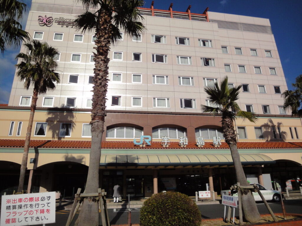
At around 40 km (25 miles), you’ll arrive in Uwajima, one of the largest cities in southern Ehime. The city offers plenty of hotels, restaurants, and shops, making it an excellent place to rest and resupply.
Since Ryukoji is only about 10 km (6.2 miles) away, many walking pilgrims choose to stay overnight in Uwajima before continuing the next morning.
I also stayed at a hotel in Uwajima, and after such a long day’s walk, it was the perfect place to get a good night’s rest.
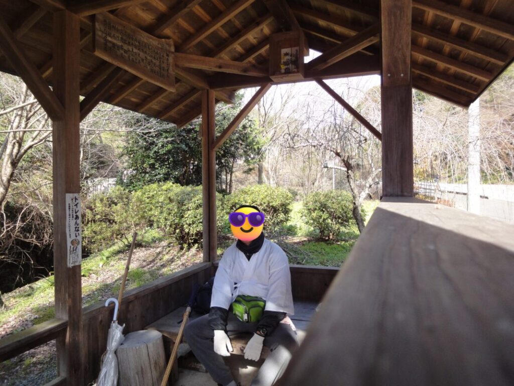
From Uwajima, follow Prefectural Route 57 north toward Ryukoji. Along the way, you’ll find a Henro Goya (pilgrim shelter) near a public restroom, making it a valuable place to rest—or, for some pilgrims, to spend the night.
JR Uwajima Station
Kōman Pilgrim Shelter
Ryukoji and Nearby Information
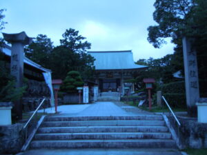
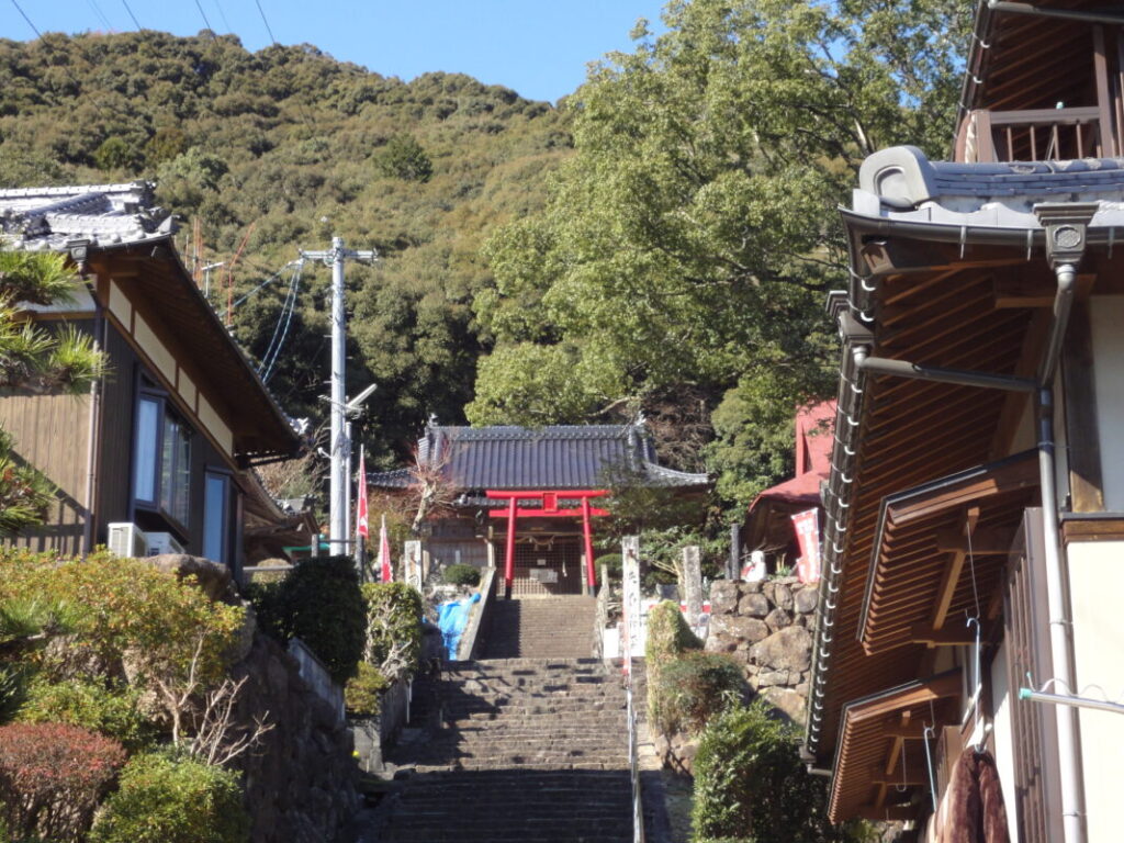
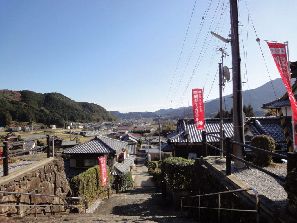
A short flight of stone steps leads to the grounds of Ryukoji. The steps are wide with low risers, making them relatively easy to climb even after a long day of walking.
According to tradition, Ryukoji was founded by Kōbō Daishi, who enshrined Inari Myōjin here. It is one of the few temples on the Shikoku Pilgrimage with a strong connection to Inari worship and is affectionately known as “Mima no Oinari-san.”
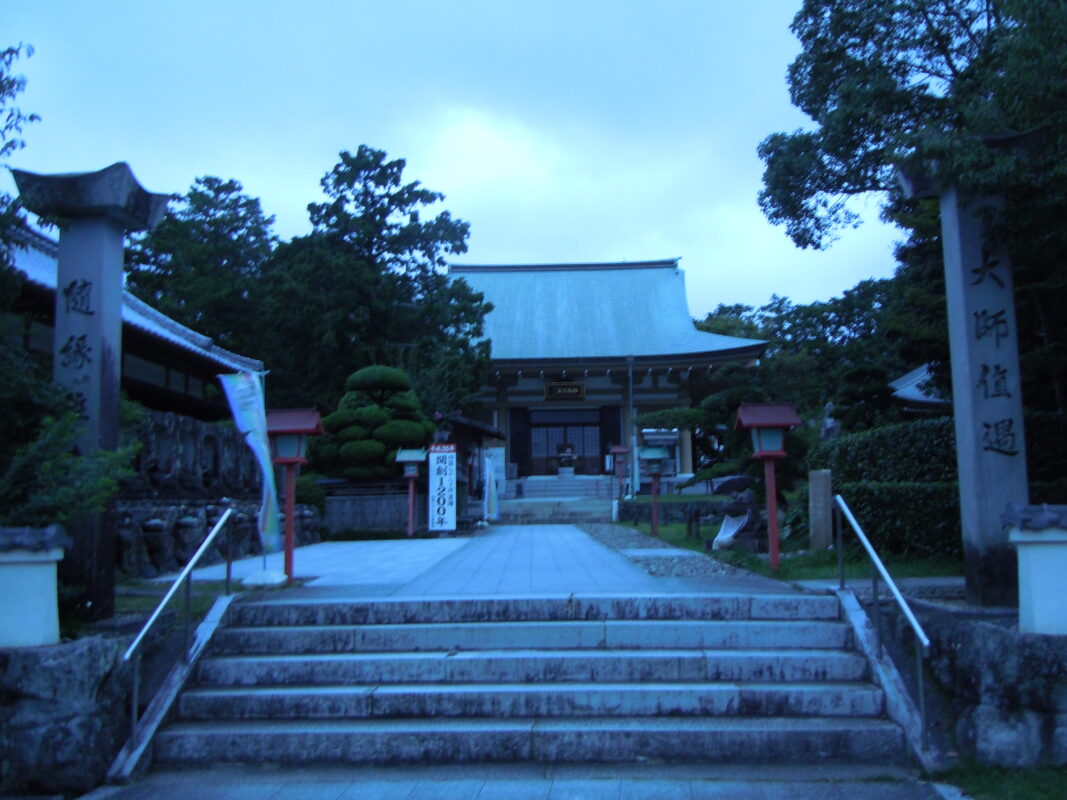
The temple still preserves the atmosphere of Shinto-Buddhist syncretism that existed before the Meiji era. Unlike most pilgrimage temples, visitors pass through a torii gate rather than a temple gate before entering the grounds. The principal image, Jūichimen Kannon (the Eleven-Faced Bodhisattva of Compassion), is enshrined in the main hall, and many worshippers continue to visit to pray for family safety and good health.
Along the approach to the temple is a popular restaurant called Chōmeisui, which is well known among walking pilgrims. I stopped there for a bowl of udon, and it was a perfect place to rest and enjoy a meal after the long walk. If you have the time, it’s well worth a visit.
Approach to Ryukoji
Main Hall and red torii gate at Ryukoji
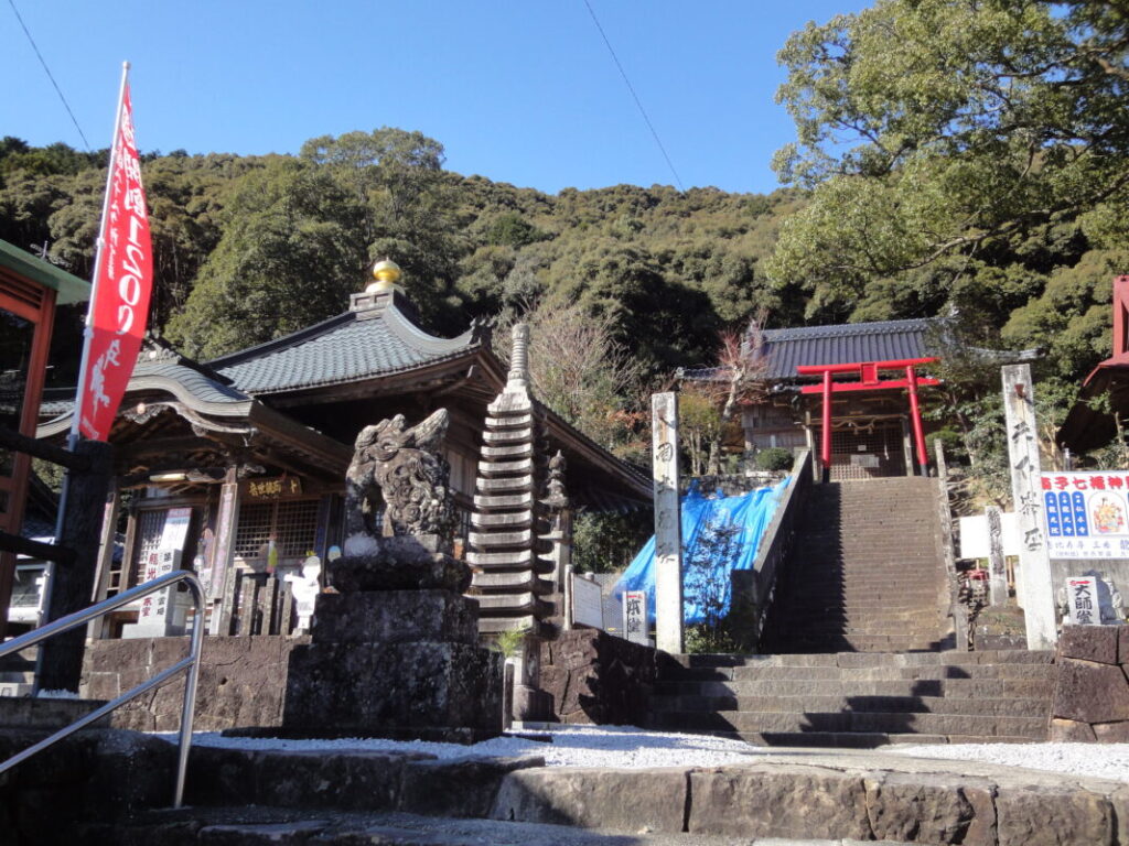
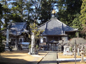
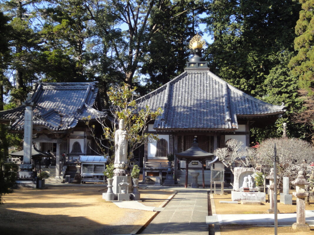
View from the grounds of Ryukoji
Nearby Accommodation
If you plan to stay near Ryukoji or between the surrounding pilgrimage temples, see the article below.
Related Articles
Shikoku 88 Temple Pilgrimage Route: Full List, Distance & Walking Time Guide.
Temple List and Full Route
Comments