
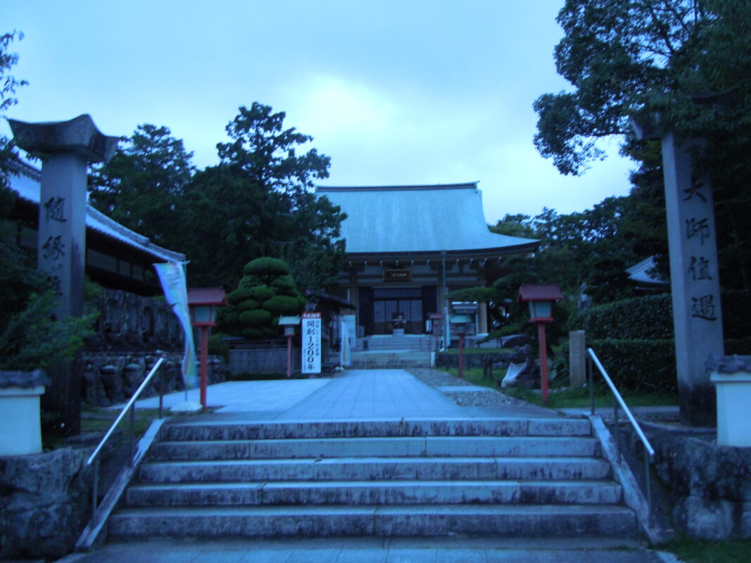
Kanjizaiji Temple Information
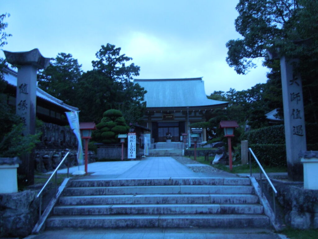
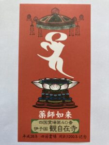
Goshuin
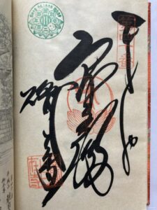
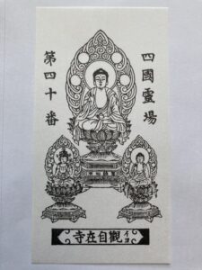
- Omie
- 1,200th Anniversary Edition
Basic Information
| Principal Deity | Yakushi Nyorai |
| Elevation | 10 m |
| Google Maps | MAP |
Accommodation
| Shukubo (Temple Lodging) | Not Available |
| Tsuyado (Free Pilgrim Shelter) | Not Available |
History & Highlights
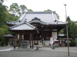
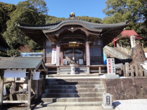
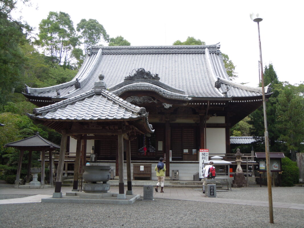
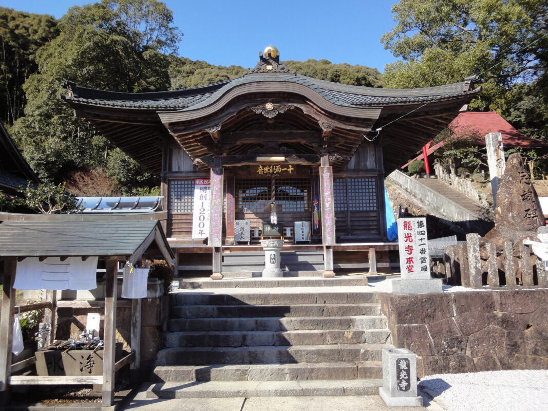
Kanjizaiji is the first temple in Ehime Prefecture on the Shikoku Pilgrimage and is traditionally believed to have been founded by Kōbō Daishi. According to tradition, he personally carved the temple’s principal image of Yakushi Nyorai (the Medicine Buddha) along with two accompanying statues. Over the centuries, the temple has received the patronage of emperors and feudal lords. Today, many visitors come to pray for good health and recovery from illness.
Notes
The road on the west side is narrow, so please enter the parking lot from the east side.
Route Map, Distance & Travel Time
You can switch between the tabs to view the routes to the previous and next temples.
Select “Driving Route” from the map’s upper-left menu to display the driving route.
Click the Full Screen icon in the upper-right corner of the map to open it in Google Maps for a larger, easier-to-view map.
- From Previous Temple
- To Next Temple
Previous Temple: Enkoji
| Distance | 25.8 km |
| Walking | 8 hr 30 min |
| Driving | 40 min |
Next Temple: Ryukoji
| Distance | 50.2 km |
| Walking | 16 hr |
| Driving | 1 hr 30 min |
Transportation Guide
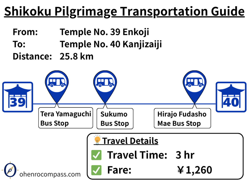
Learn how to travel from the 39th temple, Enkoji, to the 40th temple, Kanjizaiji, by bus. Includes fares, travel time, bus transfers, timetables, and a comparison with the walking route.
My Walking Experience
Kanjizaiji is located about 25 km (15.5 miles) west of Enkoji. Walking pilgrims can choose between two routes: the Matsuo Pass Route and the National Route 56. I chose to walk the Matsuo Pass Route. Each offers a different experience, so choose the one that best suits your fitness level and travel style.
Route Comparison
| Route | Features | Recommended For |
|---|---|---|
| Matsuo Pass Route | A historic pilgrimage trail crossing Matsuo Pass (approx. 300 m / 984 ft) | Pilgrims who want to experience the traditional pilgrimage trail |
| National Route 56 Option | A gentler route following the valley and passing through tunnels | Pilgrims who want to conserve their energy |
Matsuo Pass Route
About 8 km (5 miles) from Enkoji, you’ll reach central Sukumo, where you’ll find plenty of accommodations, restaurants, and convenience stores. The route to Matsuo Pass is clearly marked with signposts, making the trailhead easy to find.
Matsuo Pass, at an elevation of approximately 300 m (984 ft), is one of the historic pilgrimage routes of the Shikoku Pilgrimage. It remained in use until the early 20th century, and historical records tell of a teahouse at the summit where travelers were offered tea and dumplings.
I walked this route myself, and looking out over Sukumo Bay while following the same path that countless pilgrims once traveled gave me a profound sense of history. At the same time, I couldn’t help but feel a little sad that so few people walk this historic trail today, and that such an important part of the pilgrimage’s heritage is gradually fading from memory.
Fortunately, the trail is still carefully maintained by local volunteers, and a walking event is held here every year. Seeing the community’s efforts to preserve this historic pilgrimage route gave me a deep appreciation for their commitment to passing this heritage on to future generations.
Entrance to Matsuo Pass Trail
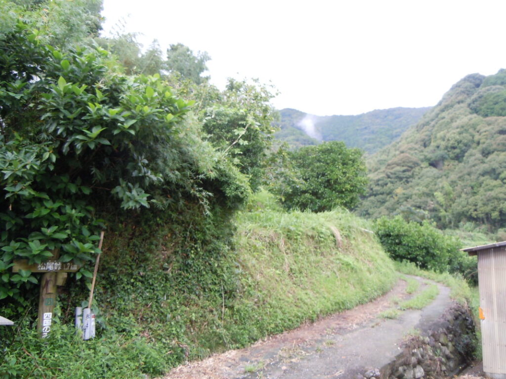
Matsuo Pass
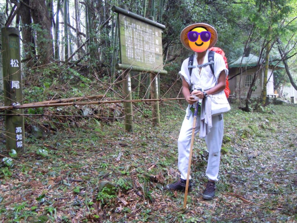
Entering Ehime Prefecture
After crossing Matsuo Pass, you’ll enter Ehime Prefecture and rejoin the National Route 56 in the Ipponmatsu area. From there, continue west along National Route 56 for about 8 km (5 miles) to reach Ainan, home to Kanjizaiji.
Ainan is a convenient town with a good selection of accommodations, restaurants, and shops. Since the next stage to Ryukoji is approximately 50 km (31 miles), many walking pilgrims choose to stay overnight here before setting out the following day.
Nearby Accommodation
If you plan to stay near Kanjizaiji or between the surrounding pilgrimage temples, see the article below.
Related Articles
Shikoku 88 Temple Pilgrimage Route: Full List, Distance & Walking Time Guide.
Temple List and Full Route
Comments