
Shoryuji Temple Information
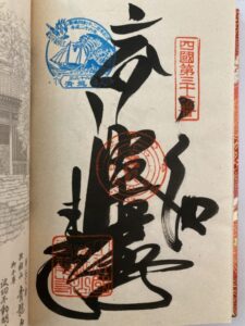
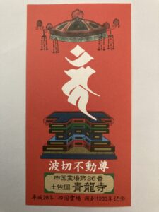
Goshuin
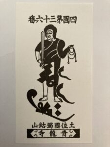
- Omie
- 1,200th Anniversary Edition
Basic Information
| Principal Deity | Namikiri Fudō Myōō |
| Elevation | 40 m |
| Google Maps | MAP |
Accommodation
| Shukubo (Temple Lodging) | Not Available |
| Tsuyado (Free Pilgrim Shelter) | Not Available |
History & Highlights
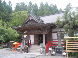
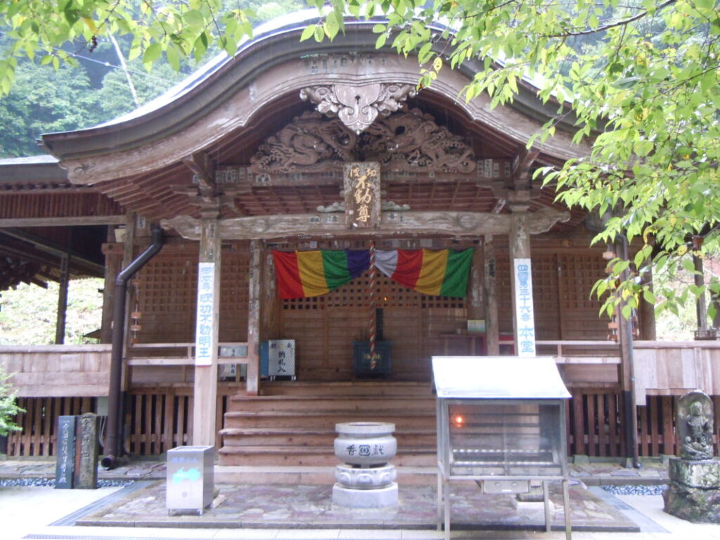
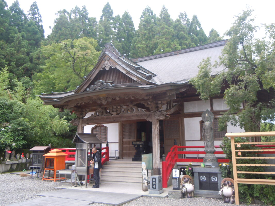
Shoryuji is a historic temple said to have been founded by Kōbō Daishi after his return from Tang China, in memory of his revered teacher, Master Huiguo (Keika Kashō). The temple’s principal image, Namikiri Fudō Myōō (Wave-Cutting Acala), has long been worshipped as a guardian of maritime safety and abundant fishing catches, and continues to attract many pilgrims and worshippers today.
Notes
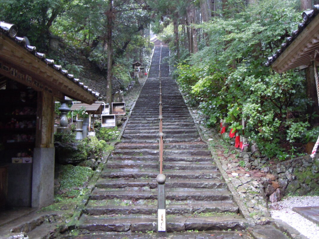
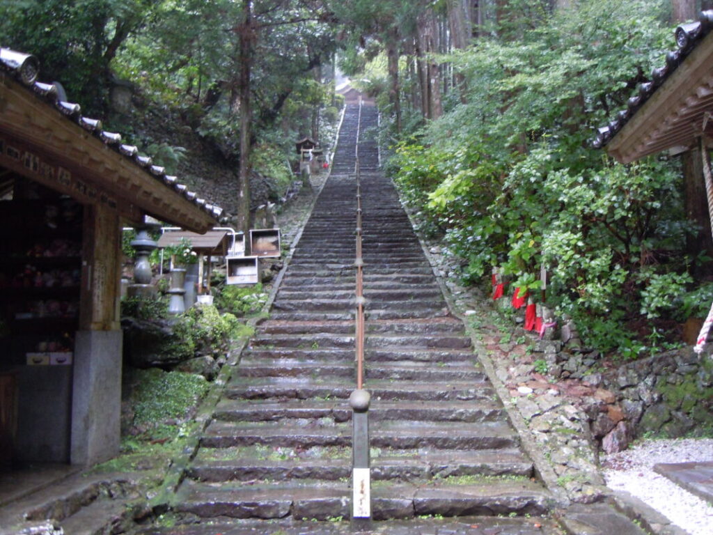
Access: Climb 170 stone steps to reach the temple grounds.
Route Map, Distance & Travel Time
You can switch between the tabs to view the routes to the previous and next temples.
Select “Driving Route” from the map’s upper-left menu to display the driving route.
Click the Full Screen icon in the upper-right corner of the map to open it in Google Maps for a larger, easier-to-view map.
- From Previous Temple
- To Next Temple
Previous Temple: Kiyotakiji
| Distance | 13.9 km |
| Walking | 4 hr |
| Driving | 50 min |
Next Temple: Iwamotoji
| Distance | 58.5 km |
| Walking | 17 hr |
| Driving | 1 hr 30 min |
Transportation Guide
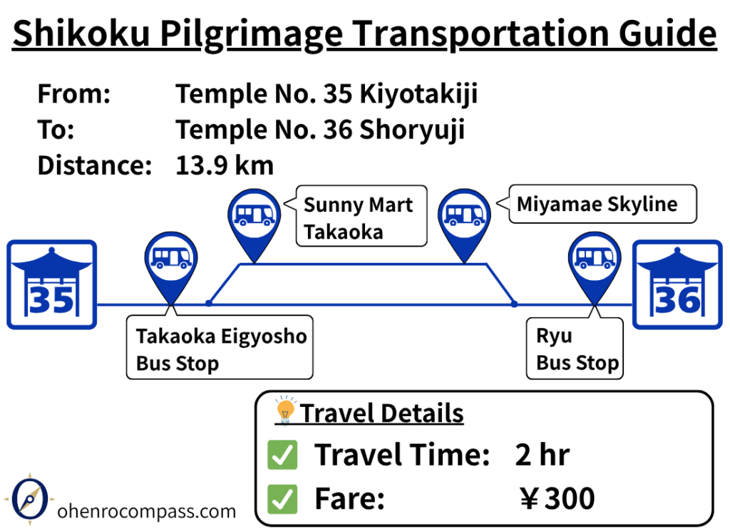
Find the bus route from Temple 35 Kiyotakiji to Temple 36 Shoryuji on the Shikoku Pilgrimage. Includes fares, timetables, bus stops, travel times, and the differences between the Usa-Iyo and Usa-Nakajima routes.
My Walking Experience
From Kiyotakiji to Tsukaji Pass Rest Area
Shoryuji is located about 13 km (8.1 miles) south of Kiyotakiji. The route begins by following Prefectural Route 39 south and crossing the Hage River.
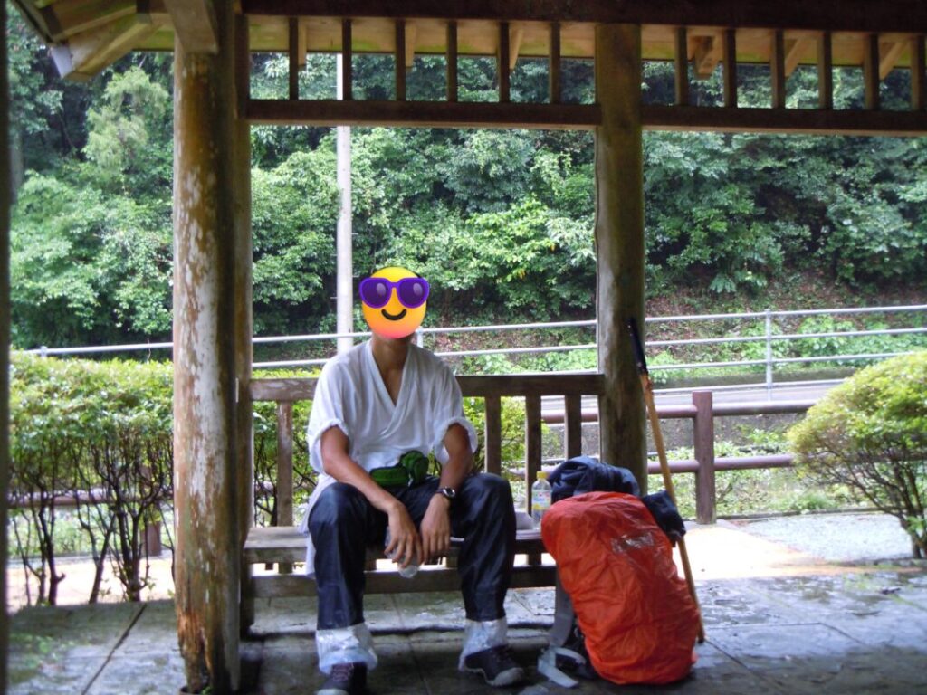
About 7 km (4.3 miles) from Kiyotakiji, you’ll reach the Tsukaji Pass Rest Area. Equipped with restrooms and a covered shelter, it is a convenient place for walking pilgrims to take a break.
When I walked this section, a typhoon was approaching, bringing heavy rain. I still remember taking shelter here and wondering how much farther I would be able to walk that day.
Two Routes over Tsukaji Pass
The Tsukaji Pass Rest Area is also where the route divides.
One option is the traditional pilgrimage trail over Tsukaji Pass, which climbs to an elevation of about 200 meters (656 ft). Along the trail, you’ll find Buddhist figures carved directly into the rock, and from the summit you can enjoy panoramic views of Usa Bay.
I took this route on a rainy day. Despite the weather, the trail was well maintained and easy to follow.
The other option continues along Prefectural Route 39 through the Tsukajizaka Tunnel. This route involves much less elevation gain, and the tunnel has a relatively wide sidewalk, making it a safe and comfortable alternative.
My recommendation is the Tsukaji Pass route, as it offers both beautiful scenery and a chance to experience the historic pilgrimage trail. However, if you prefer to conserve your energy, the tunnel route is the better choice.
| Comparison | Tsukaji Pass Route | Tsukajizaka Tunnel Route |
|---|---|---|
| Scenery | Panoramic views of Usa Bay | Limited |
| Historical interest | Traditional pilgrimage trail and rock-carved Buddhist figures | Limited |
| Elevation | Climbs to about 200 m (656 ft) | Minimal elevation gain |
| Ease of walking | Well maintained | Wide sidewalk and easier walking |
| Best for | Pilgrims who enjoy scenery and history | Pilgrims who want an easier walk and to conserve energy |
Crossing the Usa Bridge
After passing Tsukaji Pass, the route crosses Usa Bridge, which spans Usa Bay.
The bridge has a wide pedestrian sidewalk, making it comfortable for walking pilgrims. However, the safety fence is relatively low, so those who are uncomfortable with heights may find the crossing a little intimidating. I found it more comfortable to walk near the center of the sidewalk rather than close to the edge.
Once you’ve crossed the bridge, Shoryuji is only about 1 km (0.6 miles) away.
The Final 170 Stone Steps
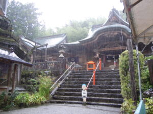
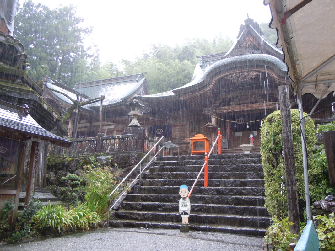
To reach the temple grounds of Shoryuji, you’ll need to climb approximately 170 stone steps.
These steps are also famous as the place where Asashōryū, the 68th Yokozuna of professional sumo, trained his legs during his high school years. It is said that his ring name, Asashōryū (“Morning Blue Dragon”), was inspired by Shoryuji.
There are no benches or places to sit along the staircase. I remember having to stop several times to catch my breath before continuing the climb to the top.
Nearby Accommodation
If you plan to stay near Shoryuji or between the surrounding pilgrimage temples, see the article below.
Related Articles
Shikoku 88 Temple Pilgrimage Route: Full List, Distance & Walking Time Guide.
Temple List and Full Route
Comments