
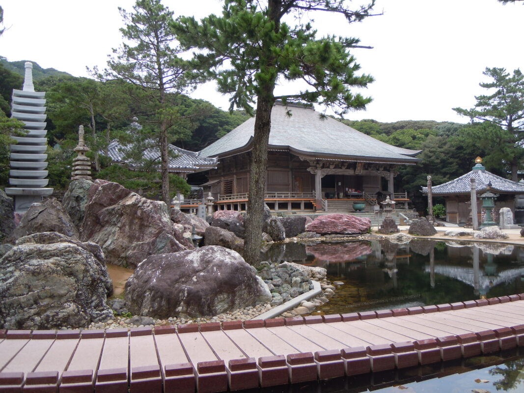
Kongofukuji Temple Information
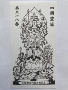
Goshuin

- Omie
- 1,200th Anniversary Edition

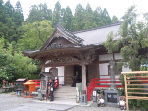
Basic Information
| Principal Deity | Three-faced Thousand-armed Avalokiteśvara |
| Elevation | 60 m |
| Google Maps | MAP |
Accommodation
| Shukubo (Temple Lodging) | Available |
| Tsuyado (Free Pilgrim Shelter) | Not Available |
History & Highlights
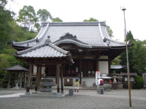
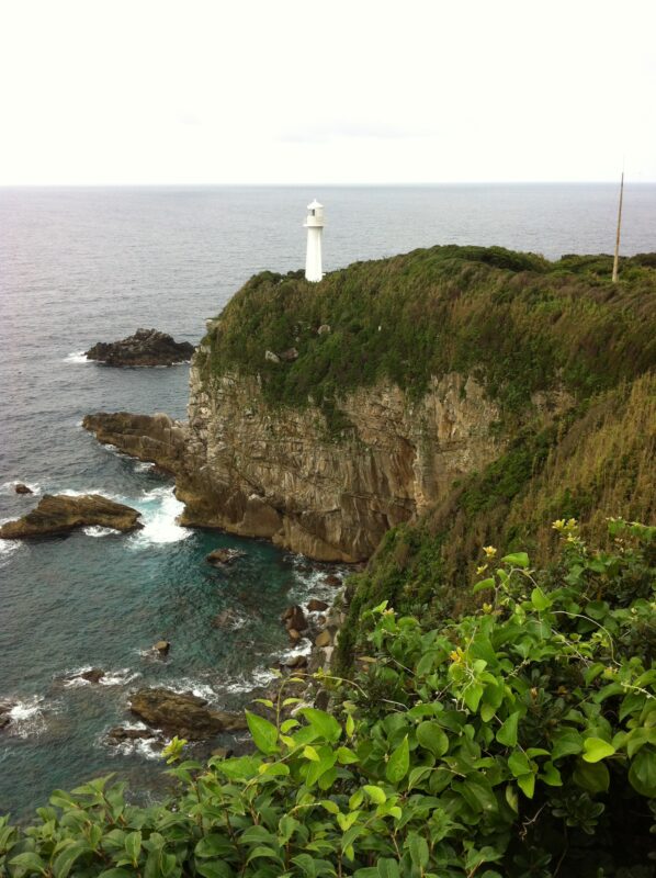
Kongōfukuji is said to have been founded by Kōbō Daishi, who regarded Cape Ashizuri as Fudaraku (Potalaka), the sacred paradise of Kannon (Avalokiteśvara). Throughout its long history, the temple has been supported by emperors, feudal lords, and other prominent figures. Today, it continues to welcome pilgrims from across Japan, offering a spectacular setting overlooking the vast Pacific Ocean.
Notes
The route from Iwamotoji to Kongōfukuji is approximately 80 km (50 miles) long. Walking pilgrims typically take three to four days to complete this section.
Route Map, Distance & Travel Time
You can switch between the tabs to view the routes to the previous and next temples.
Select “Driving Route” from the map’s upper-left menu to display the driving route.
Click the Full Screen icon in the upper-right corner of the map to open it in Google Maps for a larger, easier-to-view map.
- From Previous Temple
- To Next Temple
Previous Temple: Iwamotoji
| Distance | 80.7 km |
| Walking | 24 hr |
| Driving | 2 hr |
Next Temple: Enkoji
| Distance | 52.8 km |
| Walking | 15 hr 30 min |
| Driving | 1 hr 30 min |
Transportation Guide
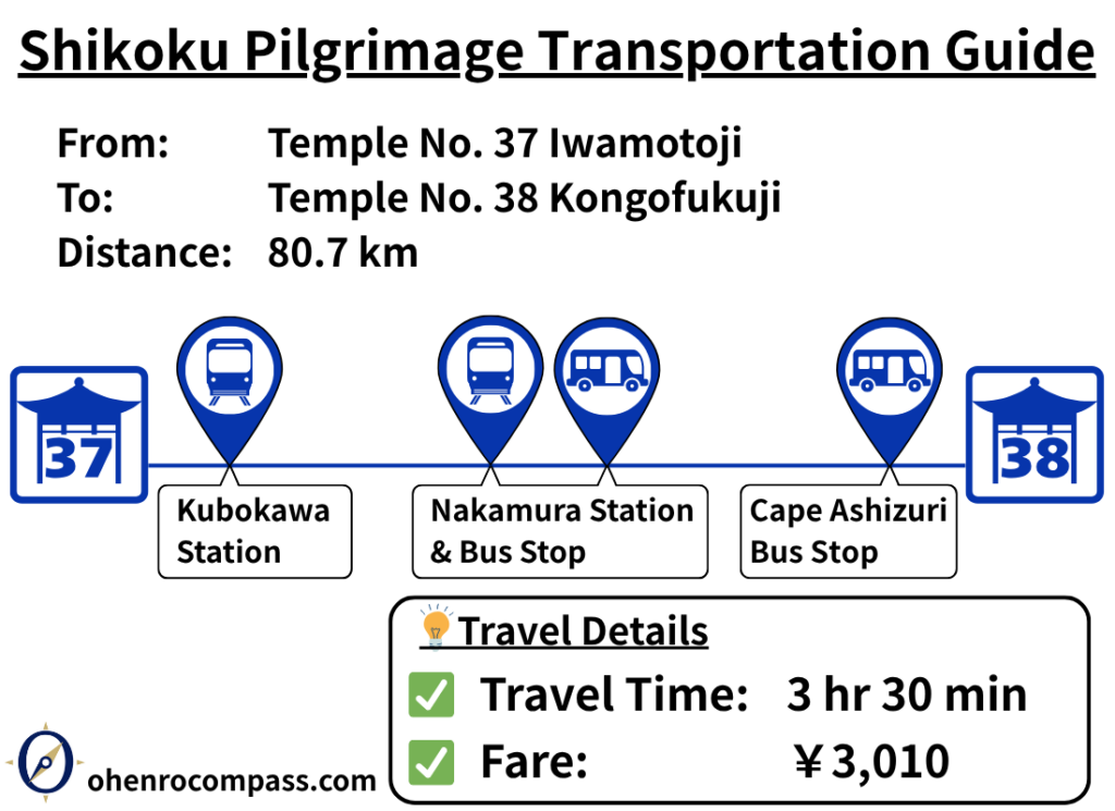
Travel from Iwamotoji Temple (Temple 37) to Kongofukuji Temple (Temple 38) by train and bus. Includes fares, timetables, transfer information, travel time, and access to Cape Ashizuri on the Shikoku Pilgrimage.
My Walking Experience
The route from Iwamotoji to Kongofukuji is approximately 80 km (50 miles) long, making it one of the longest sections of the Shikoku Pilgrimage. Walking pilgrims typically take three to four days to complete it. Fortunately, the route passes through several towns and railway stations, so with some advance planning for resupply and accommodation, it can be completed without undue difficulty.
I have walked this section twice, both times in August, during the height of summer. Because of the intense daytime heat, I made a point of covering as much distance as possible during the cooler hours of the early morning.
Throughout the day, I stopped whenever I came across a pilgrim shelter or rest area. Even a short break in the shade—taking off my backpack and letting the heat escape from my back—made a noticeable difference and helped reduce fatigue.
Along this section, you’ll find Henro Goya shelters, parks with covered rest areas, and other convenient places for walking pilgrims to take a break. In this guide, I’ll introduce the rest stops that I personally used, along with photos from my journey.
Because this is such a long section, I’ve divided it into three parts: the first, middle, and final stages.
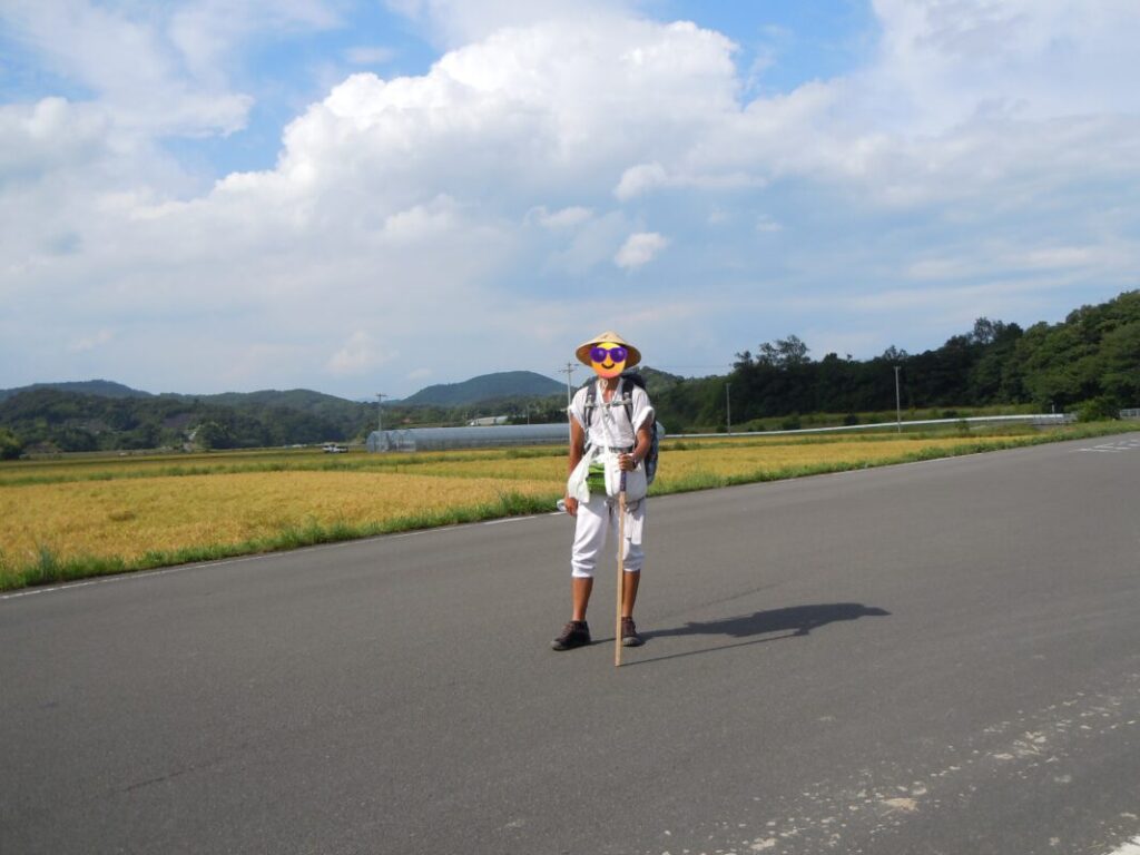
First Stage: Iwamotoji to Kuroshio (Approx. 30 km / 18.6 miles)
The first stage follows National Route 56 south toward Kuroshio. Along the way, you’ll find several sections of the traditional pilgrimage trail, including the Ichinose Pilgrimage Trail, which shortcuts some of the winding sections of the highway. Following the route map in this guide and the signposts along the trail will help you stay on course.
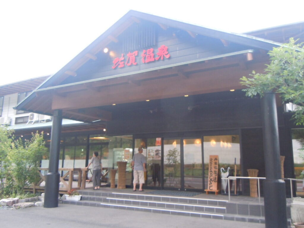
About 10 km (6.2 miles) from Iwamotoji, you’ll reach Tosa Saga Onsen. The facility offers day-use hot springs, accommodations, and a Henro Goya (pilgrim shelter).
I soaked in the hot spring to wash away the day’s sweat, enjoyed dinner at the restaurant on the premises, and then spent the night in the pilgrim shelter. It’s an excellent place to rest and recover at the beginning of this long section of the pilgrimage.
Kobushino River Rest Area (9 km from Iwamotoji)
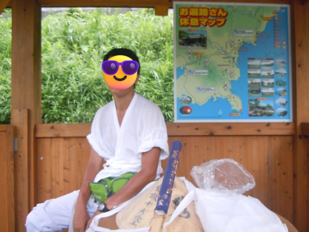
No restrooms. Suitable for overnight camping.
Pilgrim shelter at Tosa Saga Onsen
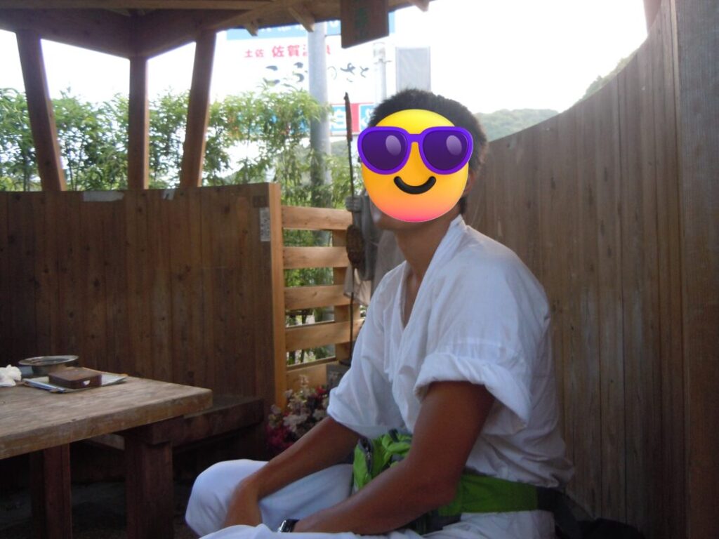
Restrooms available. Suitable for overnight camping.
Tosa Saga Onsen
Shirahama Coast Rest Area (23 km from Iwamotoji)
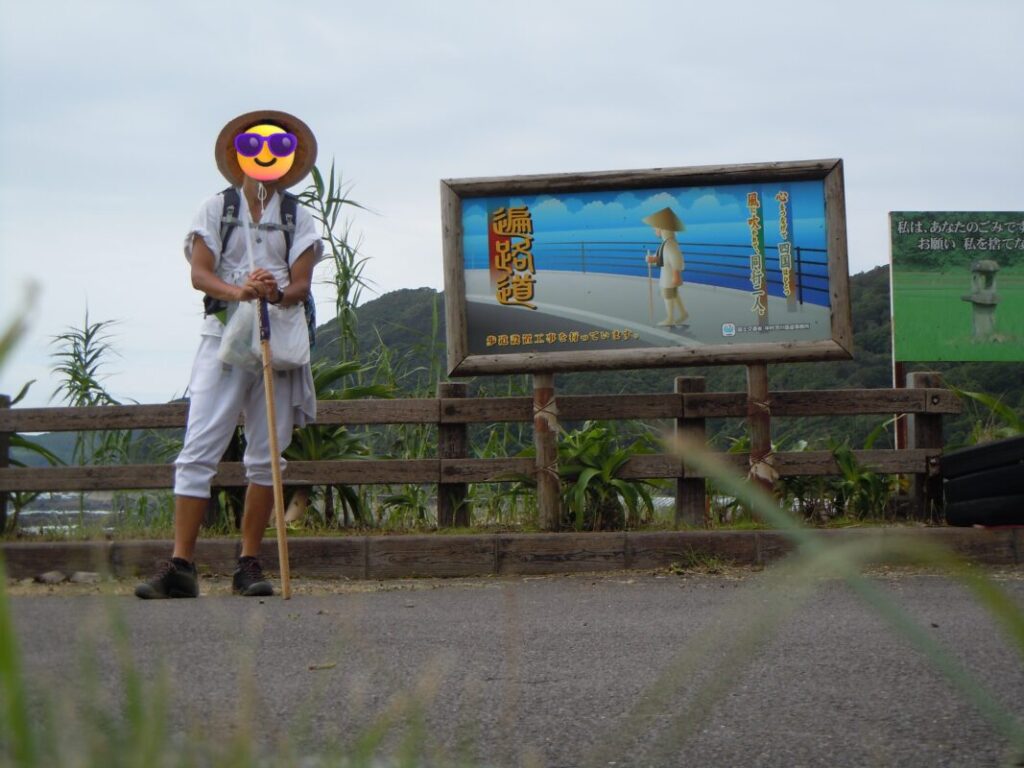
No restrooms. Suitable for overnight camping.
Middle Stage: Shimanto City Area (Approx. 30–60 km / 18.6–37.3 miles)
At around 30 km (18.6 miles), you’ll reach Ōgata Town, a convenient place to stay with accommodations and convenience stores.
Continuing south, you’ll cross the Shimanto River via the Shimanto Bridge at approximately 47 km (29.2 miles). At the foot of the bridge is a riverside park with a grassy lawn and covered pavilion, making it a pleasant place to rest or even spend the night.
After crossing the bridge, the route joins National Route 321, which continues all the way to Cape Ashizuri.
Kamikawaguchi Park (30 km from Iwamotoji)
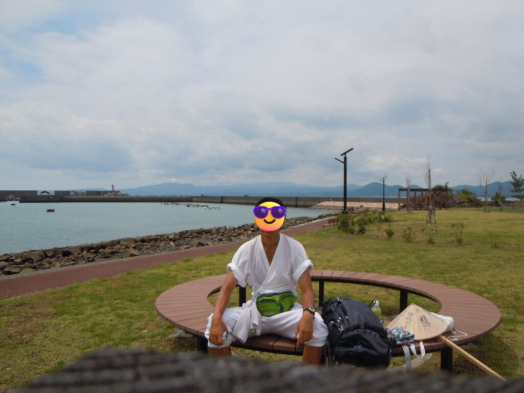
Restrooms available. Suitable for overnight camping.
Shimanto Bridge and Riverside Park
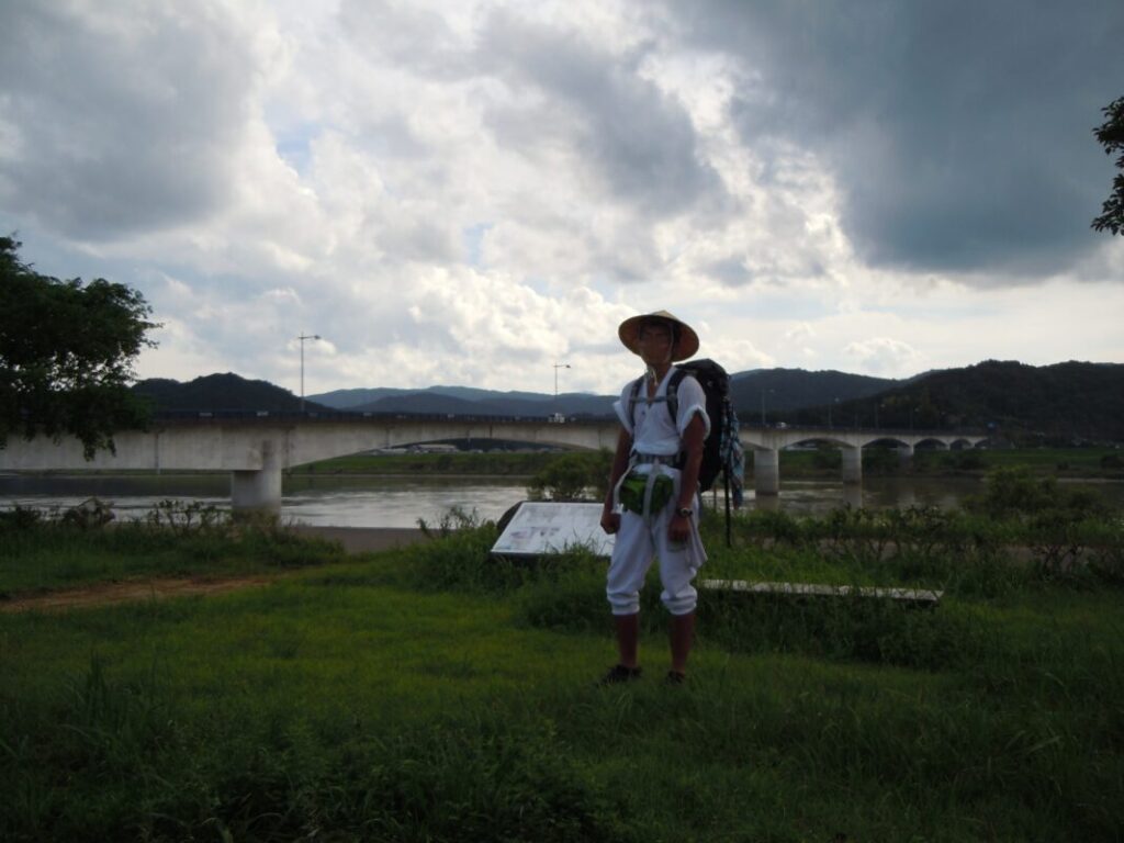
Convenience store nearby. Suitable for overnight camping.
Shin-Izuta Tunnel
At around 50 km (31.1 miles), you’ll reach the Shin-Izuta Tunnel, which is approximately 1.6 km (1 mile) long. Although it feels short when driving, it takes nearly 30 minutes to walk through.
The sidewalk is relatively wide and comfortable, but traffic is heavy, and I could clearly feel the strong gusts of air created by passing vehicles. I remember holding down my sugegasa (traditional pilgrim hat) with my chin tucked in to keep it from being blown away. If you’re wearing a hat, make sure it is secure, and wearing reflective gear is highly recommended.
Shinnen-an and Shimonokae Rest Area
After leaving the tunnel, you’ll come to Shinnen-an, a small temple dedicated to Shinnen, the Edo-period monk who played a major role in promoting the Shikoku Pilgrimage. If time permits, it’s well worth stopping to learn more about the history of the pilgrimage.
A little farther along is the Shimonokae Rest Area. It was once home to a restaurant called Drive-in Suisha, but the restaurant has since closed. However, the restrooms, covered pavilion, and vending machines are still available, making it a convenient rest stop for walking pilgrims. I spent the night here during my pilgrimage.
Behind the rest area, a small mountain stream flows through the forest. I still remember cooling myself with its cold water after walking in the intense summer heat. Surrounded by dense woodland, the area becomes filled with the calls of evening cicadas (higurashi) as the sun sets. Even in the middle of August, it felt refreshingly cool and wonderfully peaceful.
Final Stage: Toward Cape Ashizuri (Approx. 60–80 km / 37.3–50 miles)
The final stage leads from Tosashimizu to Cape Ashizuri. This section also forms part of the return route taken by pilgrims traveling from Temple 38, Kongofukuji, to Temple 39, Enkōji. As a result, you’ll meet many fellow pilgrims walking in the opposite direction, and you’ll often exchange greetings as you pass each other.
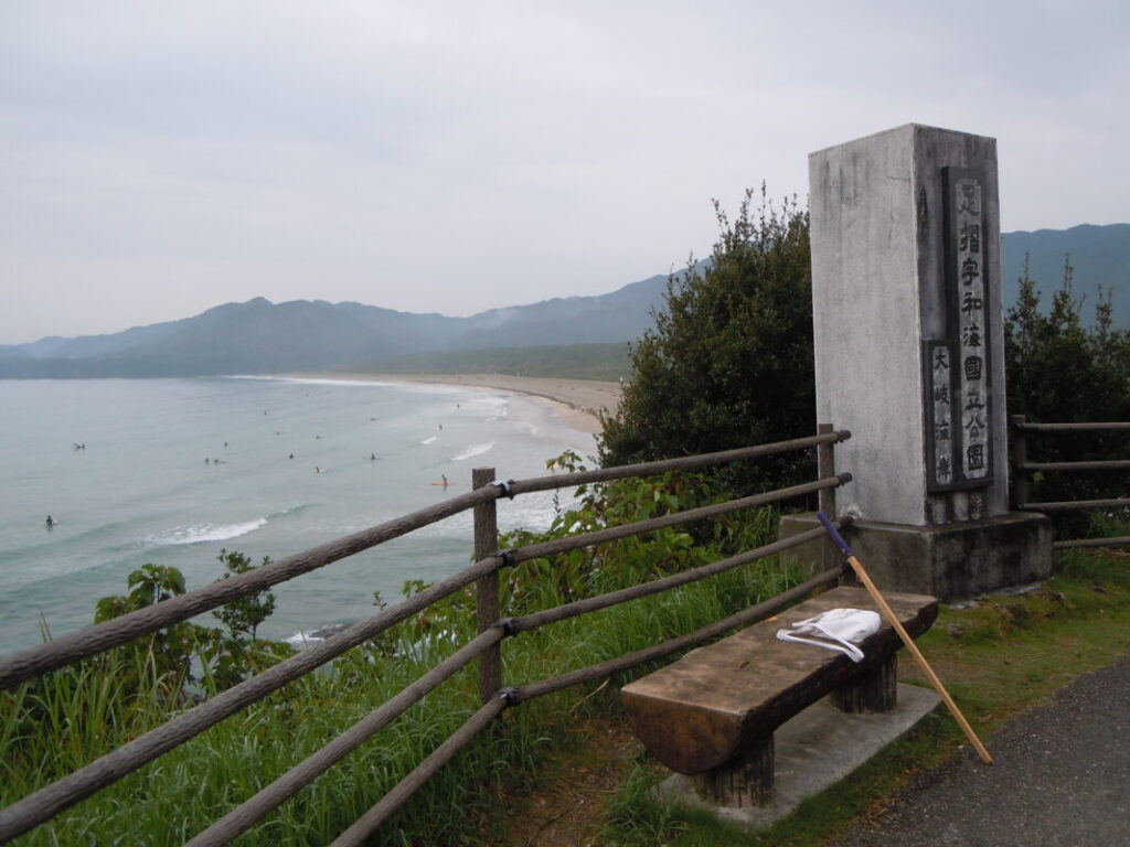
Ōki Beach
At around 65 km (40.4 miles), you’ll reach Ōki Beach, a popular surfing destination. The surrounding area has several guesthouses catering to surfers. When I walked this section in summer, the beach was filled with surfers patiently waiting for the perfect wave.
Jimbei Park
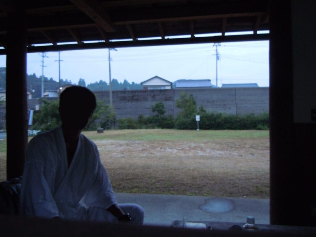
Farther along, you’ll come to Jimbei Park, one of the best places for walking pilgrims to rest or spend the night. The site has a large covered pavilion, restrooms, and running water, making it comfortable even in rainy weather.
When I stayed here, two other walking pilgrims were also spending the night. We exchanged information about the pilgrimage route and enjoyed a pleasant evening talking together.
Iburi Pilgrimage Trail
Beyond Jimbei Park, the entrance to the Iburi Pilgrimage Trail lies along the coast. This traditional pilgrimage path winds through a bamboo grove for about 1 km (0.6 miles) and is one of the sections I most highly recommend to walking pilgrims.
The soft dirt path is much gentler on your feet than asphalt, and the bamboo provides welcome shade from the intense summer sun. After spending so much time walking on highways, this peaceful woodland trail felt like a refreshing reminder of the traditional atmosphere of the Shikoku Pilgrimage.
Arriving at Kongofukuji and Cape Ashizuri
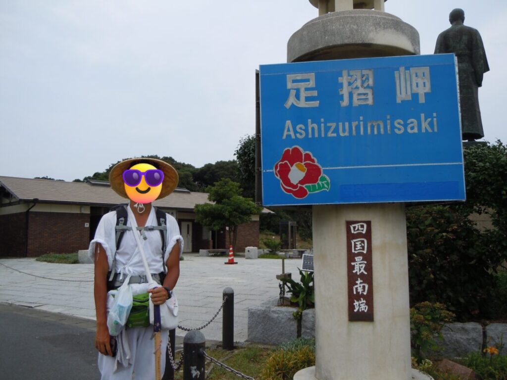
Cape Ashizuri is the southernmost point of Shikoku and one of the region’s best-known sightseeing destinations. It attracts not only pilgrims but also many tourists throughout the year.
Although there are no convenience stores or supermarkets at the cape, you’ll find a good selection of hotels, traditional inns (ryokan), and hot spring facilities. Staying overnight after visiting Kongofukuji is a great way to relax before continuing your pilgrimage.
After walking such a long distance, arriving at Cape Ashizuri gave me a tremendous sense of accomplishment. Standing before the vast expanse of the Pacific Ocean, I felt that every step of the journey had been worthwhile. The breathtaking scenery made me forget the fatigue of the long walk.
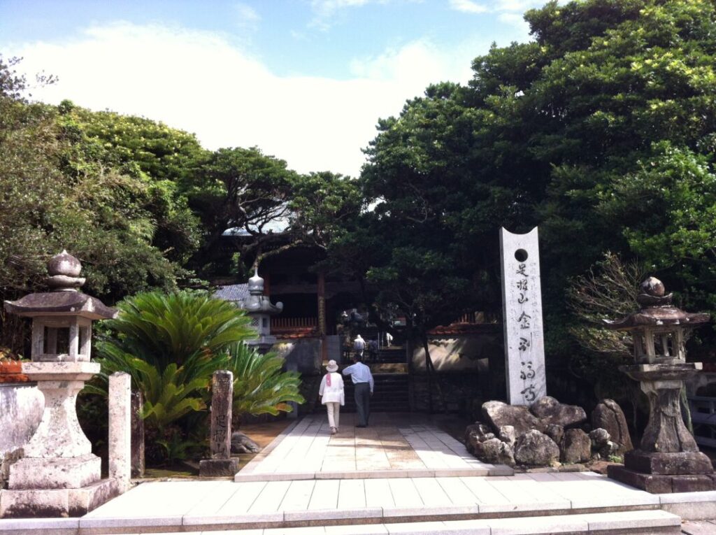
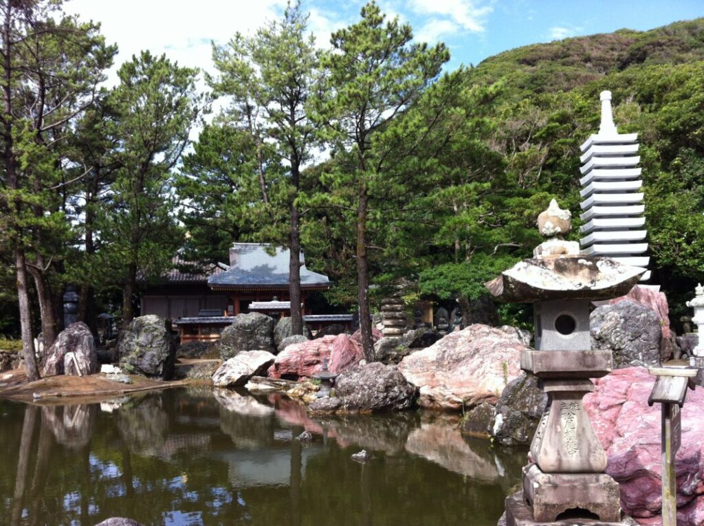
The Grounds of Kongofukuji
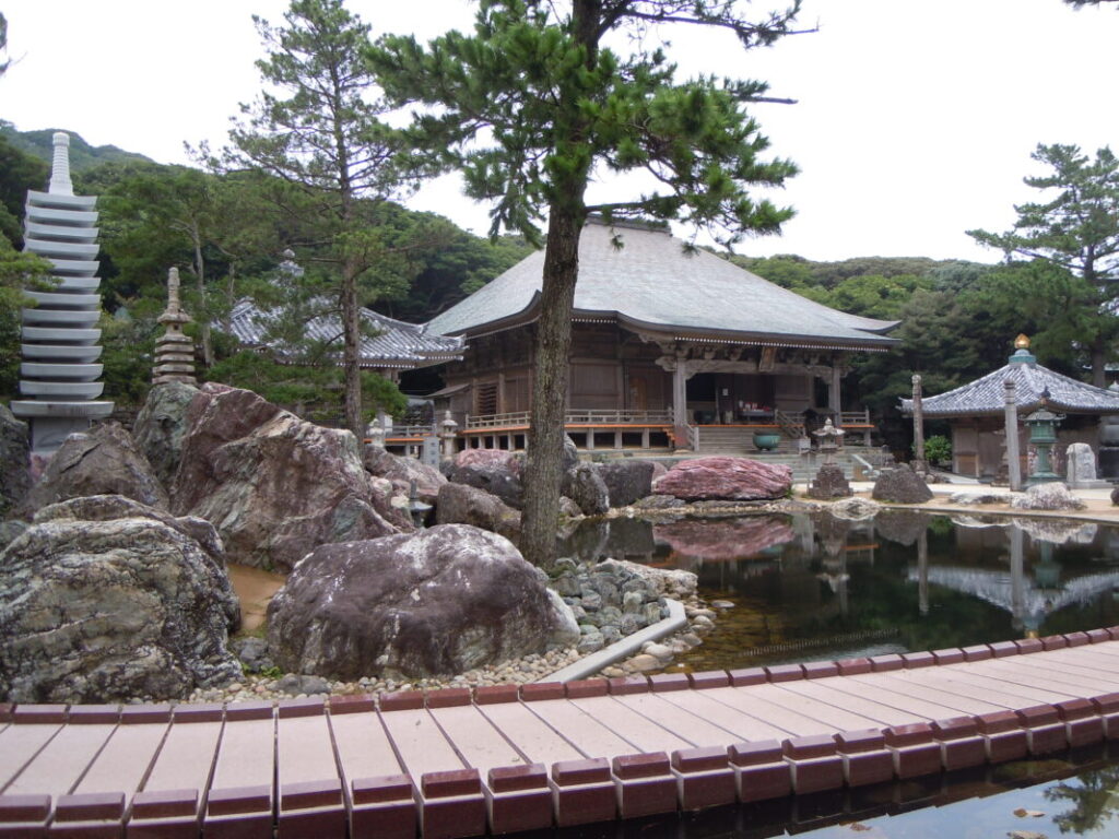
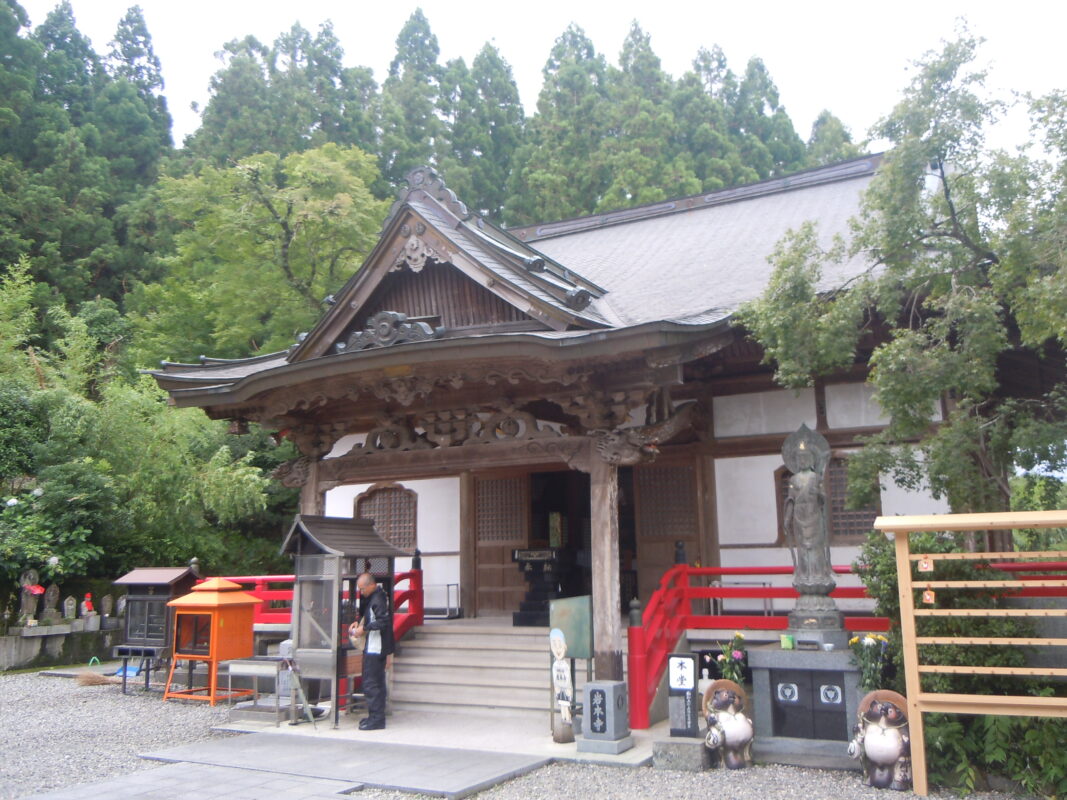
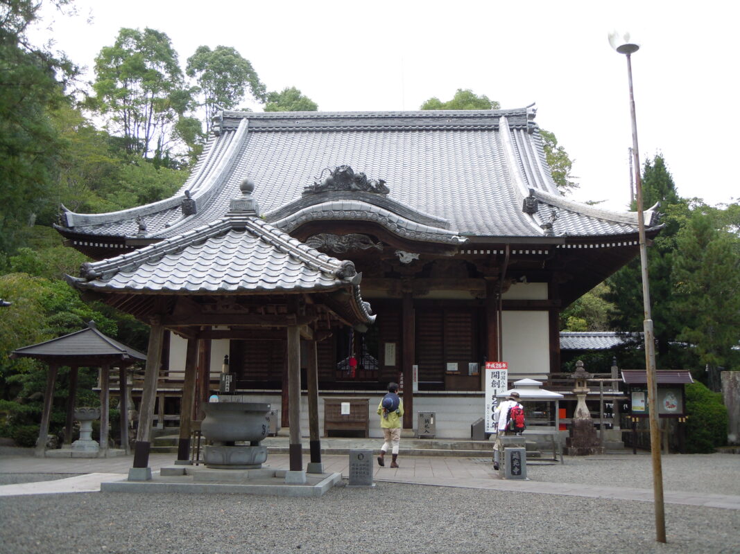
Kongofukuji is said to have been founded by Kōbō Daishi, who regarded Cape Ashizuri as Fudaraku (Potalaka), the sacred paradise of Avalokiteśvara (Kannon Bosatsu).
The temple grounds feature tranquil ponds, massive natural rocks, and beautifully landscaped gardens, making Kongofukuji one of the most impressive temples on the Shikoku Pilgrimage. In addition to offering your prayers, be sure to take time to stroll through the peaceful grounds and appreciate their beauty.
Highlights of Cape Ashizuri
After visiting Kongofukuji, be sure to explore the surrounding area of Cape Ashizuri. Several attractions are within easy walking distance, allowing you to combine your pilgrimage with some sightseeing.
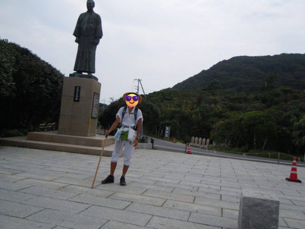
John Manjiro Statue
This bronze statue honors John Manjiro (Nakahama Manjirō), one of Tosashimizu City’s most famous historical figures. After being shipwrecked, he traveled to the United States and later returned to Japan, where he played an important role in the country’s modernization.
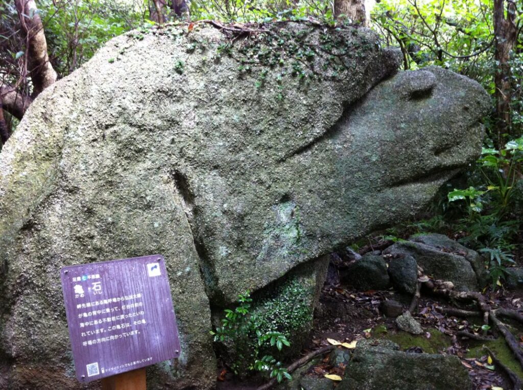
The Seven Mysteries of Cape Ashizuri
Scattered around Cape Ashizuri are the Seven Mysteries of Ashizuri, a collection of legendary sites associated with Kōbō Daishi. These include Kameishi (Turtle Rock) and several other locations connected to local legends, offering visitors a chance to experience the history and spiritual traditions of the pilgrimage.
Cape Ashizuri Lighthouse
Standing at the tip of the cape, the Cape Ashizuri Lighthouse is one of the area’s most iconic landmarks. From the nearby observation area, you can enjoy sweeping views of the Pacific Ocean and experience the dramatic scenery of Shikoku’s southernmost point.
Resupply and Rest Stops: Iwamotoji to Kongofukuji
The table below summarizes the main places where walking pilgrims can rest, resupply, or stay overnight along the route from Iwamotoji to Kongofukuji.
| Location | Distance from Iwamotoji | Available Facilities |
|---|---|---|
| Tosa Saga Onsen | 10 km (6.2 mi) | Hot spring, accommodation, pilgrim shelter |
| Ōgata Town | 30 km (18.6 mi) | Convenience store, accommodation |
| Shimanto City | 40 km (24.9 mi) | Restaurants, accommodation |
| Shimonokae Rest Area | 50 km (31.1 mi) | Restrooms, covered pavilion, vending machines |
| Iburi / Jimbei Park | 70 km (43.5 mi) | Covered pavilion, restrooms |
| Cape Ashizuri | 80 km (49.7 mi) | Accommodation, hot spring facilities |
Nearby Accommodation
If you plan to stay near Kongofukuji or between the surrounding pilgrimage temples, see the article below.
Related Articles
Shikoku 88 Temple Pilgrimage Route: Full List, Distance & Walking Time Guide.
Temple List and Full Route
Comments