
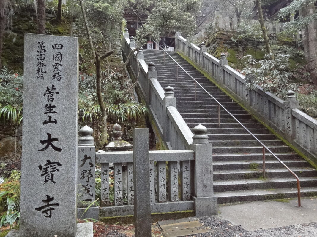
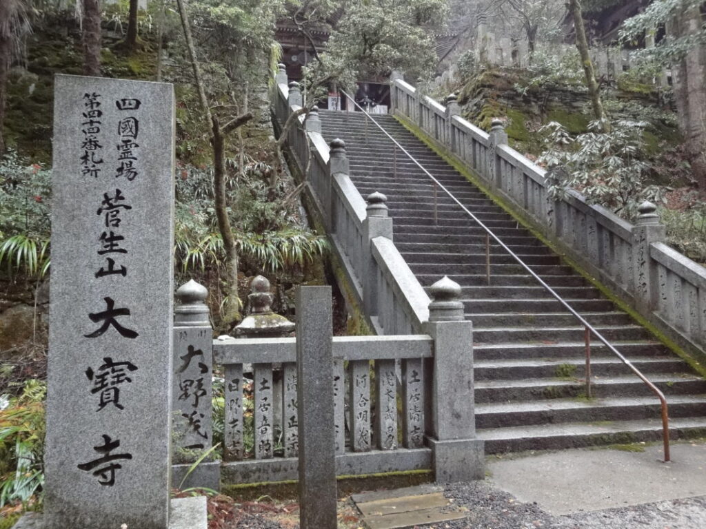
Daihoji Temple Information
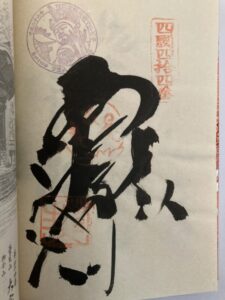
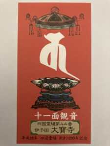
Goshuin
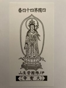
- Omie
- 1,200th Anniversary Edition
Basic Information
| Principal Deity | Eleven-Faced Kannon |
| Elevation | 560 m |
| Google Maps | MAP |
Accommodation
| Shukubo (Temple Lodging) | Available |
| Tsuyado (Free Pilgrim Shelter) | Not Available |
History & Highlights
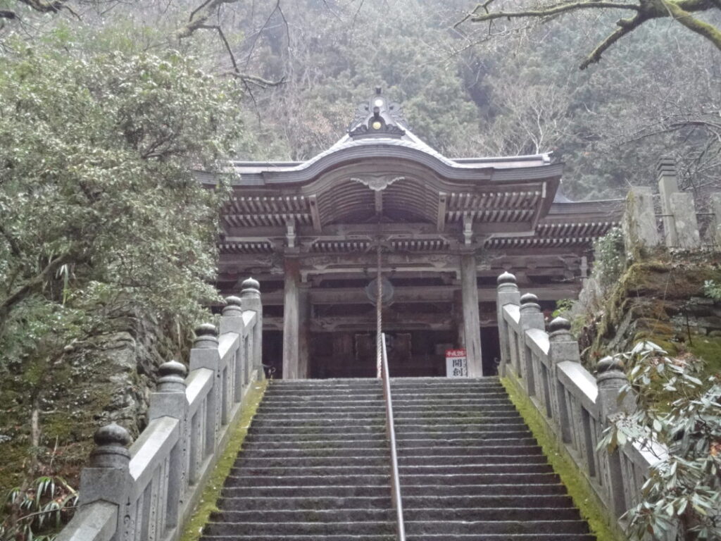
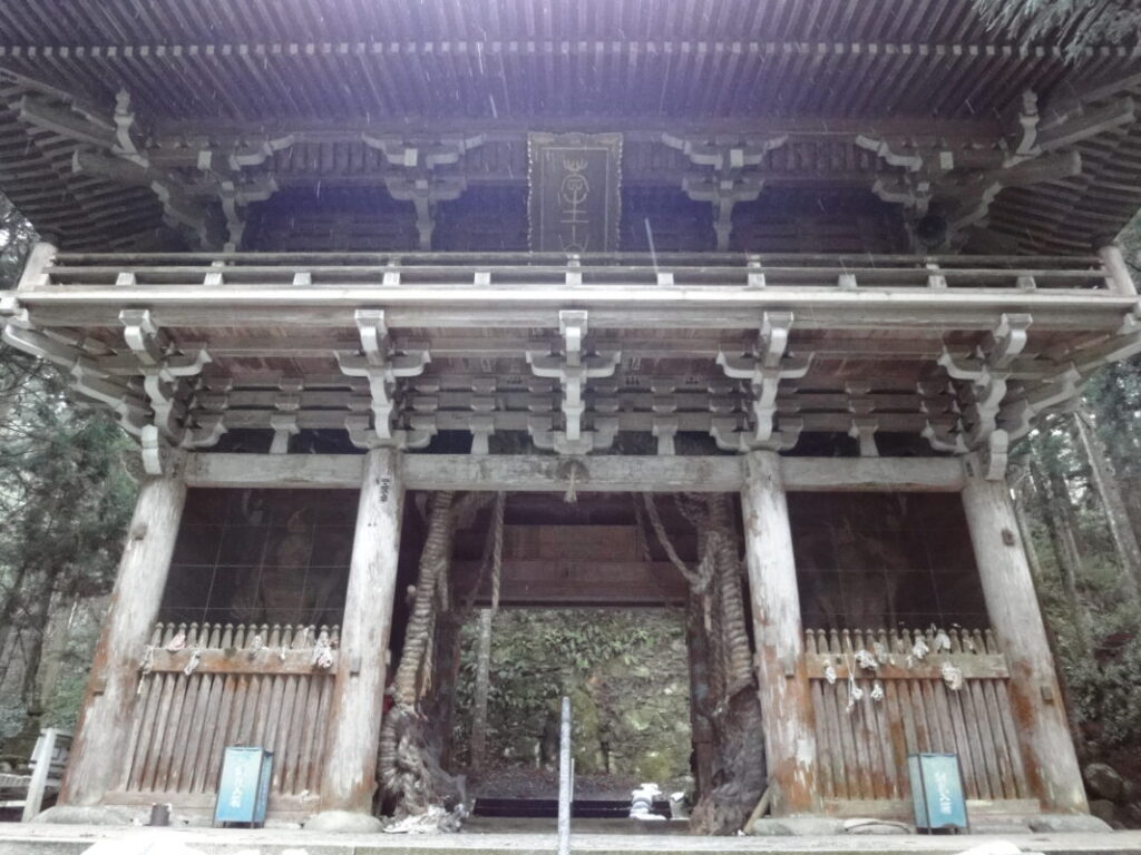
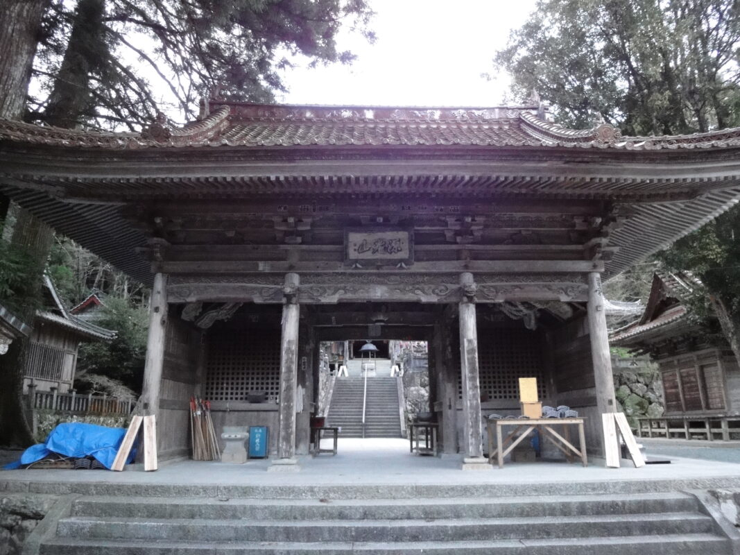
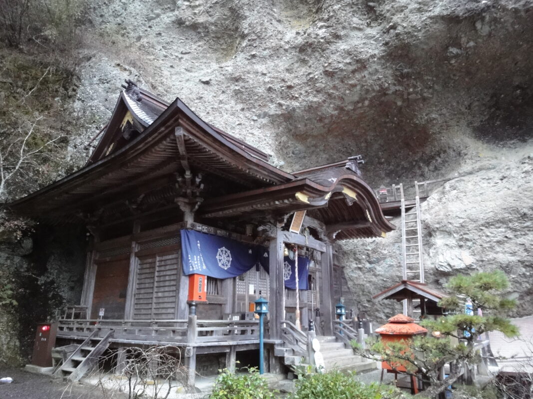
Daihoji is a historic temple traditionally believed to have been founded to enshrine an Eleven-Faced Kannon (Jūichimen Kannon) statue brought from Baekje, an ancient Korean kingdom. Kōbō Daishi later established it as a sacred pilgrimage site, and in the centuries that followed, it received the patronage of emperors and feudal lords. Nestled deep in the mountains, the temple grounds retain a peaceful and tranquil atmosphere.
Notes
This is a long stage with several mountain passes, so it’s important to plan your overnight stops and resupply points in advance.
Route Map, Distance & Travel Time
You can switch between the tabs to view the routes to the previous and next temples.
Select “Driving Route” from the map’s upper-left menu to display the driving route.
Click the Full Screen icon in the upper-right corner of the map to open it in Google Maps for a larger, easier-to-view map.
- From Previous Temple
- To Next Temple
Previous Temple: Meisekiji
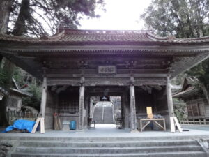
| Distance | 67.2 km |
| Walking | 20 hr |
| Driving | 2 hr |
Next Temple: Iwayaji
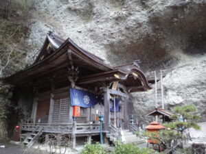
| Distance | 8.4 km |
| Walking | 4 hr |
| Driving | 20 min |
Transportation Guide
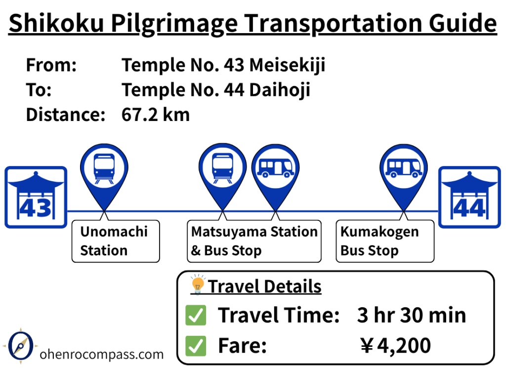
Travel from Temple 43 Meisekiji to Temple 44 Daihoji via JR train and Kumakogen bus. Detailed route, timetable, fare, and 3.5-hour model itinerary included for Shikoku pilgrims.
My Walking Experience
Daihoji is located about 70 km (43.5 miles) from Meisekiji, making this one of the longest stages of the Shikoku Pilgrimage. Walking pilgrims typically take 3–4 days to complete it. The route also climbs to Daihoji, which sits at an elevation of approximately 500 m (1,640 ft) in the Kumakōgen Highlands. Along the way, you’ll cross several mountain passes, including Tosaka Pass, Hiwata Pass, and Nōsono Pass.
Fortunately, the route passes through convenient towns such as Ōzu and Uchiko, both of which offer accommodations, restaurants, convenience stores, and other services. By planning your overnight stops around these towns, you can complete this demanding stage at a comfortable pace.
There are also several rest areas that are particularly useful for walking pilgrims. In the following sections, I’ll introduce the places that I personally used during my journey.
Tosaka Pass or Tosaka Tunnel?
From Uwa to Tosaka Pass
After leaving Meisekiji, follow National Route 56 north. The next major town, Ōzu, is about 20 km (12.4 miles) away.
Uwa has a good selection of restaurants, accommodations, and shops, making it a convenient place to stay overnight or stock up on supplies before continuing your journey.
About 10 km (6.2 miles) from Meisekiji, you’ll reach the first major junction. Here, you can choose between the historic Tosaka Pass Pilgrimage Trail or the Tosaka Tunnel Route.
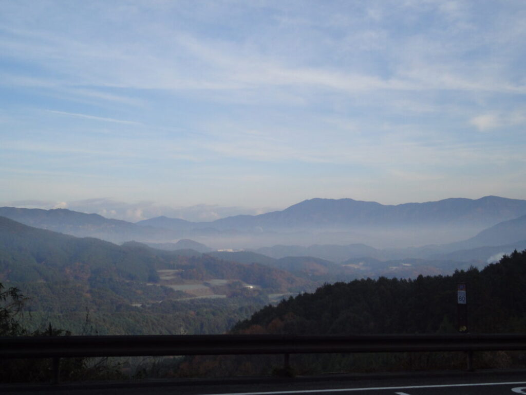
Tosaka Pass vs. Tosaka Tunnel
I haven’t personally walked the Tosaka Pass Pilgrimage Trail, but it is now better signposted than it used to be, making it easier to follow.
The Tosaka Pass Route involves a climb of about 200 m (656 ft) and offers the experience of walking a traditional pilgrimage trail. In contrast, the Tosaka Tunnel Route has much less elevation gain, but the tunnel is approximately 1,220 m (4,000 ft) long, and its pedestrian walkway is very narrow, so extra caution is required.
Since the overall distance is almost the same, many walking pilgrims choose the Tosaka Pass Route because they feel it is the safer option.
I crossed Tosaka Pass early on a winter morning. Frost covered the grass along the roadside, and a blanket of morning mist filled the valley below. It was bitterly cold, but the quiet mountain scenery—visible only during the winter season—left a lasting impression on me.
Crossing Tosaka Pass in midwinter
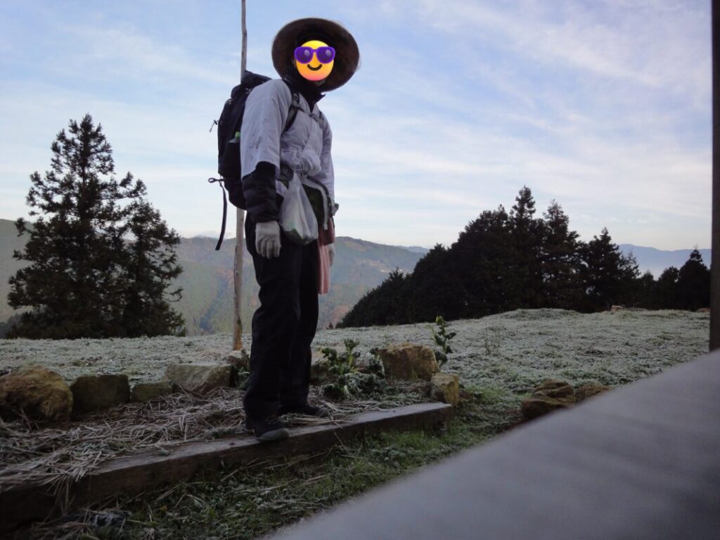
Pocket Park Rest Area
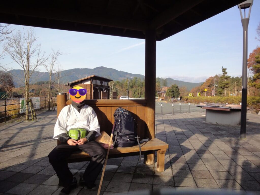
Rest area beyond Tosaka Pass with public toilets.
Important Junction Before Entering Ōzu
Another place where walking pilgrims should be careful is the intersection near Ōzu Kitatada Interchange, about 17 km (10.6 miles) from Meisekiji.
If you continue straight along National Route 56, you’ll be led toward Ōzu Tunnel, where the pedestrian walkway is very narrow.
Instead, cross the bridge on your right and continue along National Route 441. This route provides a safer and more comfortable walk into central Ōzu.
Resting and Staying Overnight in Ōzu and Uchiko
At around 20 km (12.4 miles), you’ll arrive in central Ōzu.
I reached Ōzu at about 10:00 a.m. on a winter morning. Although it had been freezing when I started walking, the temperature gradually became more comfortable as the sun rose. By the time I reached town, it was pleasant enough to enjoy the walk.
Ōzu is a historic town that stretches along the Hijikawa River. It is well known for attractions such as its preserved old town and Ōzu Castle. With plenty of hotels, restaurants, and shops, it is also an excellent place for walking pilgrims to rest, resupply, or spend the night.
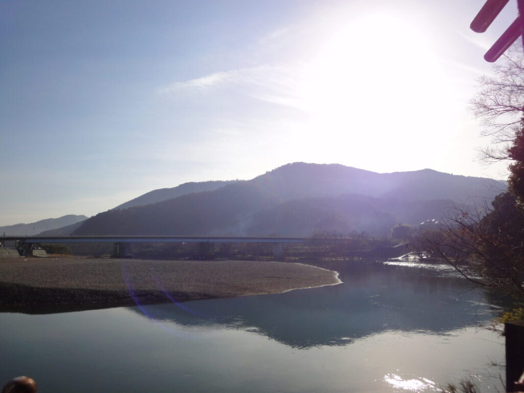

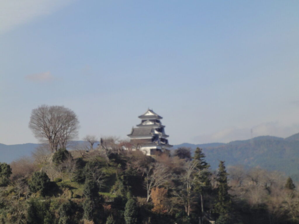
Experiencing the History of the Pilgrimage at Toyogahashi
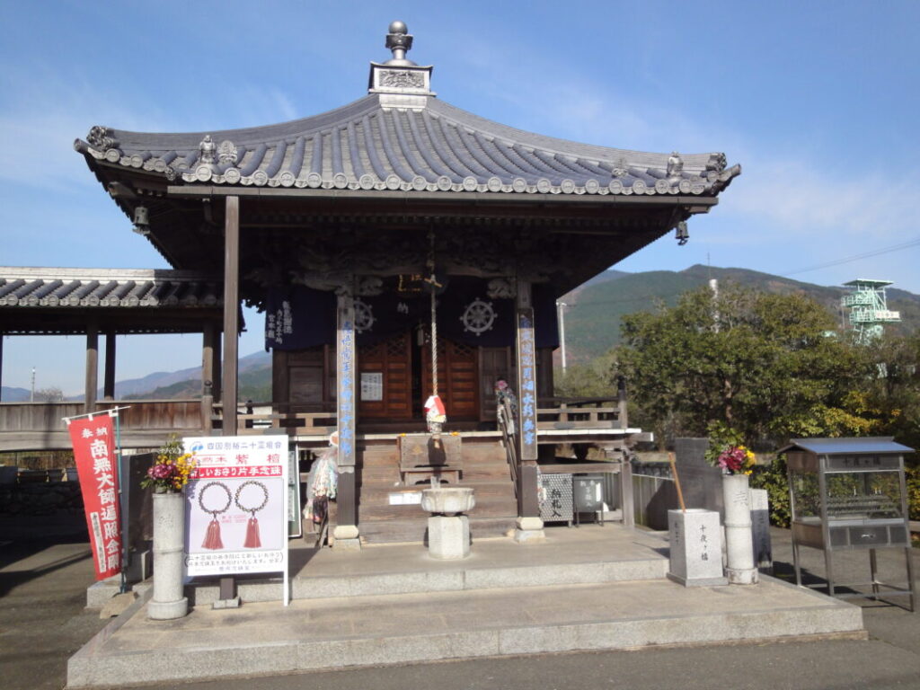
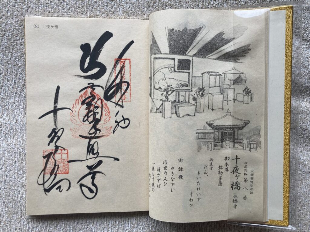
Another place worth visiting in Ōzu is Toyogahashi, the 8th temple of the Bangai (Extra 20 Temples) Pilgrimage.
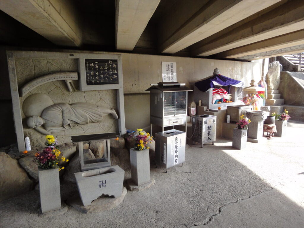
According to tradition, Kōbō Daishi spent a night sleeping beneath the bridge here, making it a place closely connected with the history of the Shikoku Pilgrimage. The temple also has a tsuyadō (free pilgrims’ shelter), where I once spent the night myself.
During my stay, a couple from overseas who were also walking the pilgrimage stayed there as well. We shared stories about the routes we had walked and our experiences on the journey, and it remains one of my favorite memories from the pilgrimage.
Since Toyogahashi is located along the pilgrimage route, it’s well worth stopping by if your schedule allows.
Main Hall of Toyogahashi
Daishi Hall beneath Toyogahashi Bridge
Goshuin from Toyogahashi
Preparing for the Mountain Section in Uchiko
About 10 km (6.2 miles) beyond Ōzu, you’ll arrive in the historic town of Uchiko.
Uchiko is famous for its well-preserved traditional streets, attracting both walking pilgrims and sightseers. From here, the route begins to enter the mountainous interior, so many pilgrims choose to stay overnight in Uchiko and rest before tackling the more demanding stages ahead.
Resupply opportunities also become less frequent beyond Uchiko, so it’s a good idea to stock up on food, drinks, and other essentials at one of the town’s convenience stores before continuing.
Crossing Hiwata Pass on a Mountain Pilgrimage Trail
After leaving Uchiko, follow National Route 379 east.
The road follows the Odagawa River, winding gently through the mountains as it gradually climbs upstream. Although the ascent is steady rather than steep, it continues for quite some time.
Along the way, you’ll find pilgrims’ shelters and covered bus stops, providing convenient places to rest and take shelter from the sun or rain. These facilities are especially welcome for those walking the pilgrimage over long distances.
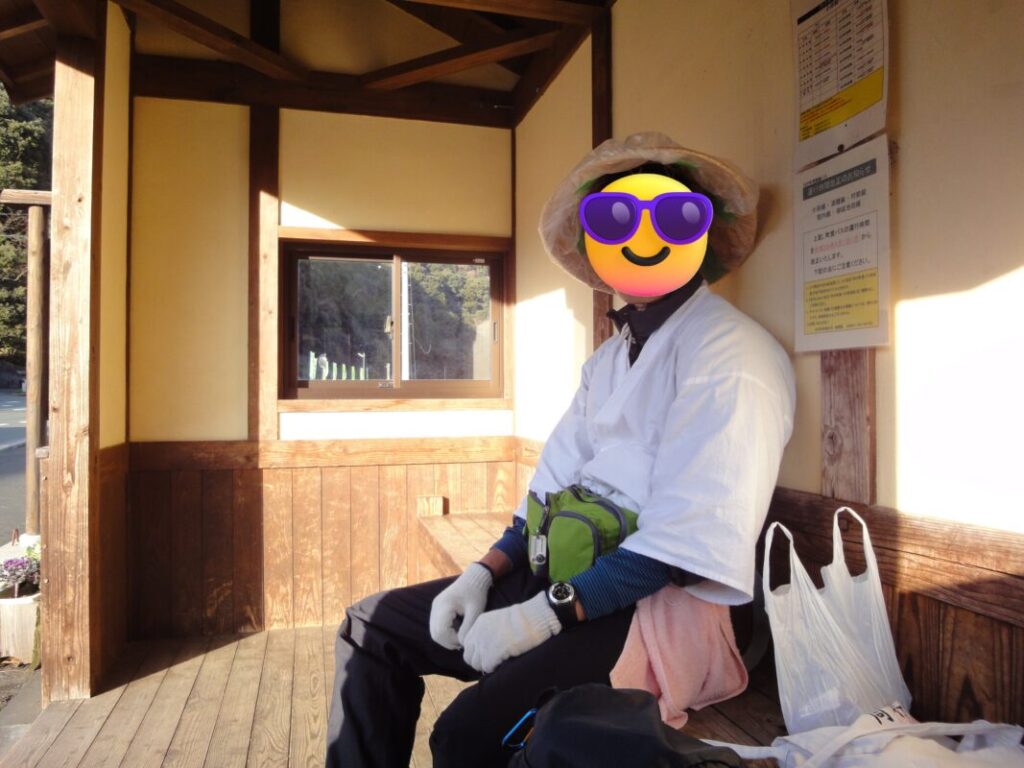
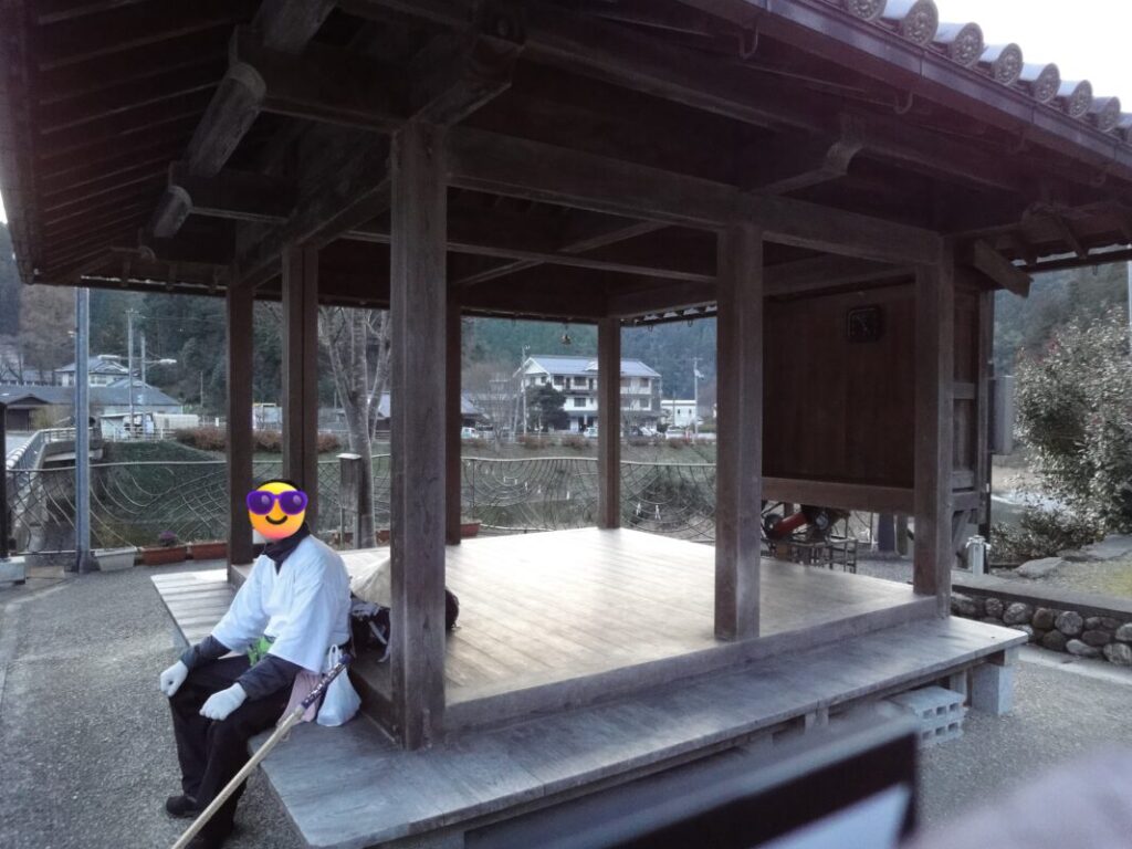
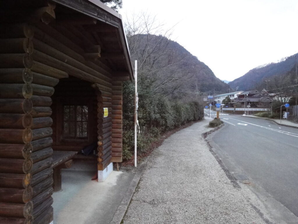
Junction for Hiwata Pass and Nōsono Pass
At about 47 km (29.2 miles) from Meisekiji, you’ll reach the junction where National Routes 379 and 380 split.
This is also the point where the routes to the Hiwata Pass Pilgrimage Trail and the Nōsono Pass Pilgrimage Trail diverge.
Follow National Route 379 to the left for Hiwata Pass, or continue straight on National Route 380 toward Nōsono Pass.
I chose the Hiwata Pass Route. The Nōsono Pass Route is used by fewer walking pilgrims, and depending on trail conditions, it can be much more challenging. If this is your first time walking the pilgrimage, I recommend taking the Hiwata Pass Route.
The Route to Hiwata Pass
From the junction, continue along National Route 379 for about 5 km (3.1 miles). After passing through Ochiai Tunnel, turn onto Prefectural Route 42.
Along this road, you’ll find the Shimosakaba Pass Pilgrimage Trail, a traditional footpath that shortcuts several winding sections of the road. Walking pilgrims may wish to take this route.
After crossing Shimosakaba Pass, you’ll enter the rural Nimyo District, where peaceful rice fields stretch across the valley. Beyond the village, the mountain trail leading to Hiwata Pass begins.
Prefectural Route 42
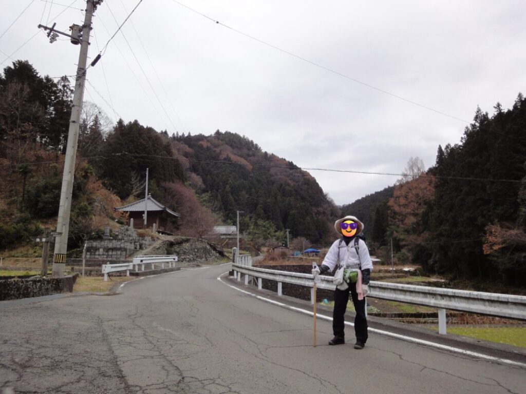
Entrance to the Shimosakaba Pass Pilgrimage Trail
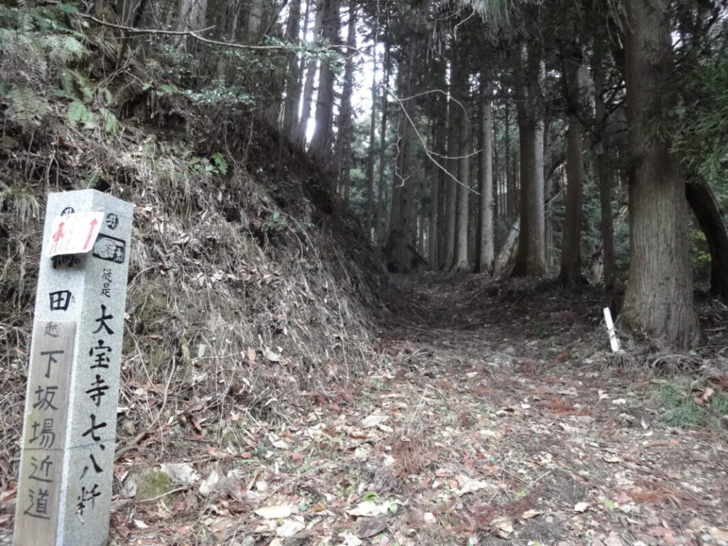
Shimosakaba Pass Pilgrimage Trail
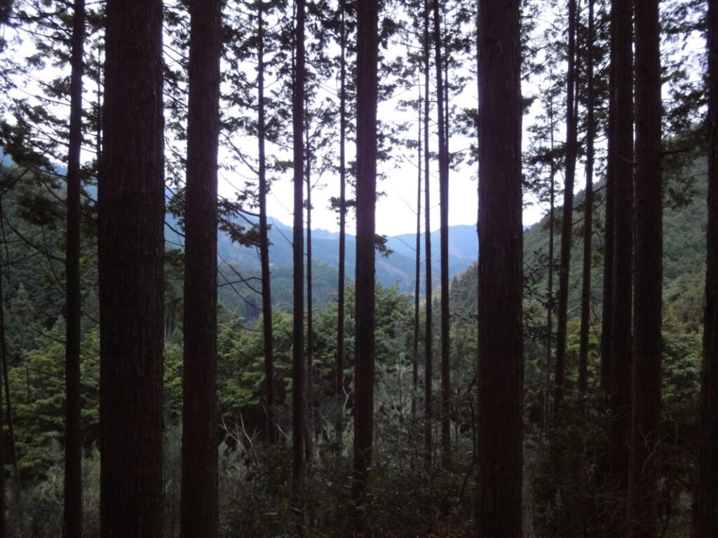
Walking Over Hiwata Pass in Winter
The Hiwata Pass Pilgrimage Trail winds through a dense forest of cedar and cypress trees. Although some sections are narrow, the trail is well maintained and generally easy to follow.
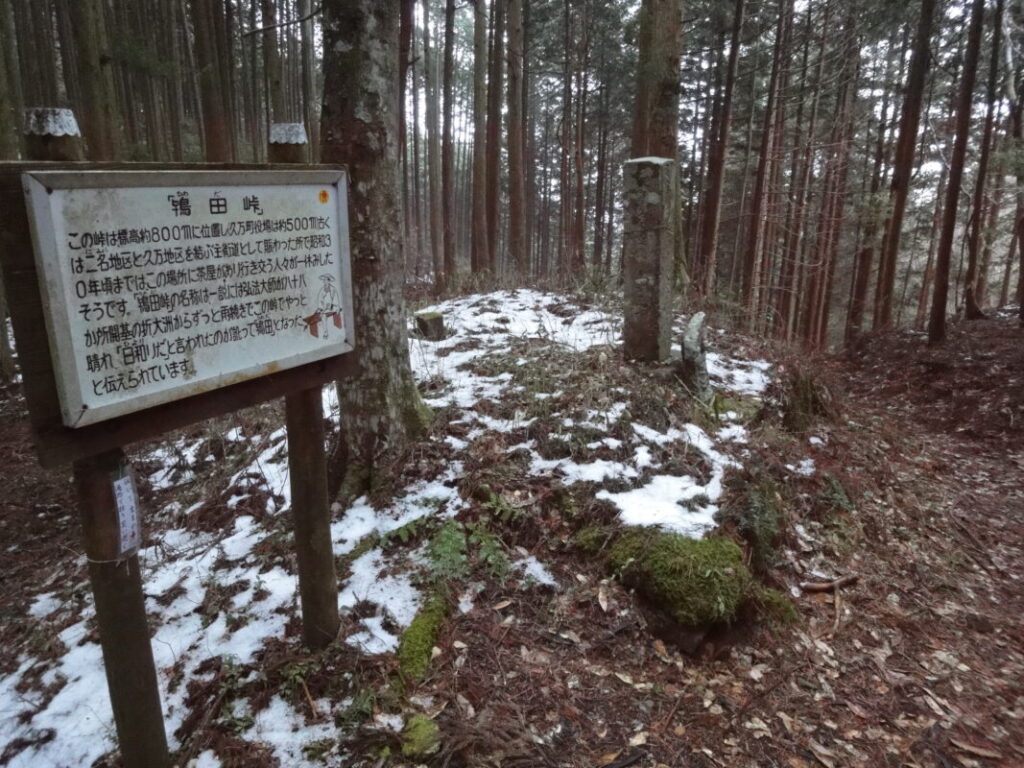
At the summit of Hiwata Pass, you’ll find a bench and a stone monument, making it a good place to stop and rest before continuing.
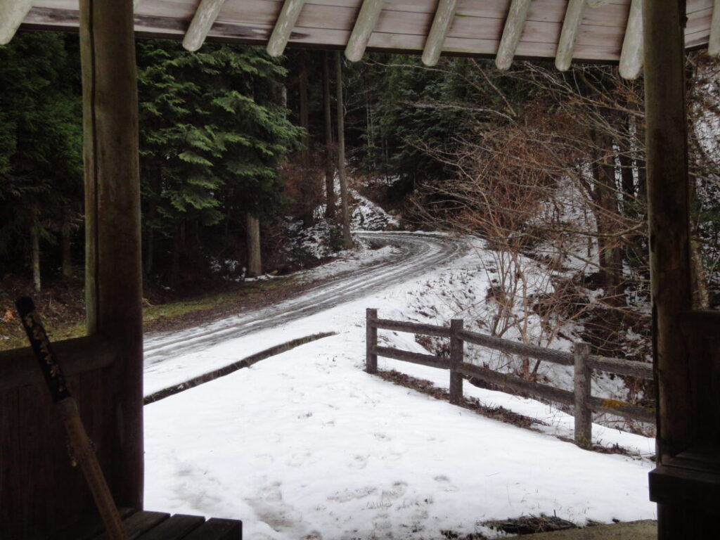
I crossed the pass in winter, and patches of snow remained on the ground as I gained elevation. Light sleet mixed with rain fell from time to time, so I kept my rain gear on throughout the climb. The sight of withered plants swaying in the cold wind gave the mountain trail a quiet, almost lonely atmosphere that felt unique to winter.
At higher elevations, I also encountered icy sections of the trail. To avoid slipping, I shortened my stride and carefully made my way forward one step at a time.
Hiwata Pass Pilgrimage Trail
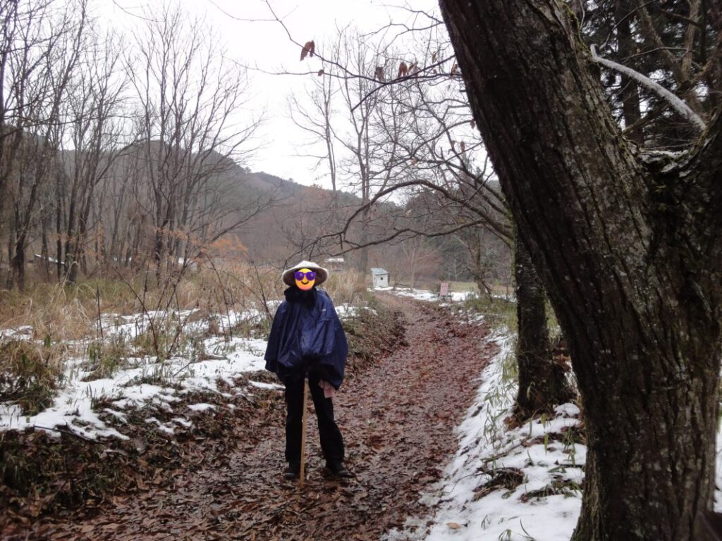
Hiwata Pass
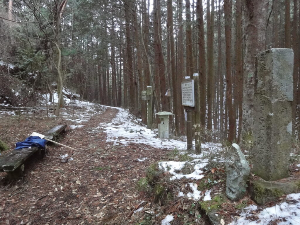
Hiwata Pass Pilgrimage Trail
A Historic Mountain Pass
Hiwata Pass was once an important route connecting the Nimyo area with the Kumakōgen Highlands. Until around 1950, a teahouse stood at the pass, and many travelers and pilgrims are said to have passed through here.
Today, the pass is a quiet mountain trail, but walking this historic pilgrimage route offers a chance to imagine the many pilgrims and local people who once crossed these mountains generations ago.
Arriving in Kumakōgen
After crossing Hiwata Pass, the route descends about 300 m (980 ft) toward Kumakōgen.
After the long climb, Kumakōgen is a welcome place to rest. The town has hotels, restaurants, and shops, making it a convenient stop for walking pilgrims.
Daihoji also offers shukubō (temple lodging), so staying overnight here is a good way to recover before continuing to the next stage of the pilgrimage.
The long mountain route from Meisekiji is certainly demanding, but the mountain passes, quiet rural villages, and traditional pilgrimage trails make it one of the most memorable sections of the entire Shikoku Pilgrimage.
Nearby Accommodation
If you plan to stay near Daihoji or between the surrounding pilgrimage temples, see the article below.
Related Articles
Shikoku 88 Temple Pilgrimage Route: Full List, Distance & Walking Time Guide.
Temple List and Full Route
Comments