
Yokomineji Temple Information
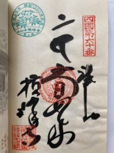
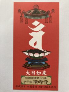
Goshuin
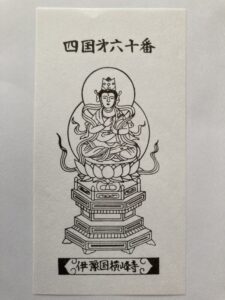
- Omie
- 1,200th Anniversary Edition
Basic Information
| Principal Deity | Dainichi Nyorai |
| Elevation | 745 m |
| Google Maps | MAP |
Accommodation
| Shukubo (Temple Lodging) | Not Available |
| Tsuyado (Free Pilgrim Shelter) | Not Available |
History & Highlights
Yokomineji is a mountain sanctuary said to have originated from the ascetic practices of En no Gyōja on Mount Ishizuchi. Kūkai (Kōbō Daishi) also carried out religious training here and helped establish the site as a sacred place. Located deep in the mountains at an elevation of approximately 750 m (2,460 ft), the temple grounds are known as one of the most challenging sections of the Shikoku Pilgrimage.
Notes
The toll road (¥2,000 fee) is closed during the winter season. From the parking area, it takes about 20 minutes of uphill walking to reach the temple grounds.
Route Map, Distance & Travel Time
You can switch between the tabs to view the routes to the previous and next temples.
Select “Driving Route” from the map’s upper-left menu to display the driving route.
Click the Full Screen icon in the upper-right corner of the map to open it in Google Maps for a larger, easier-to-view map.
- From Previous Temple
- To Next Temple
Previous Temple: Kokubunji
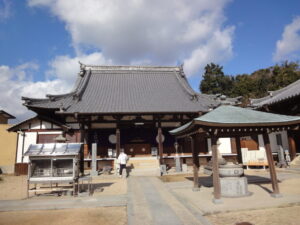
| Distance | 27 km |
| Walking | 10 hr |
| Driving | 1 hr 30 min |
Next Temple: Koonji
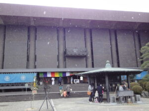
| Distance | 9.6 km |
| Walking | 3 hr |
| Driving | 35 min |
Transportation Guide
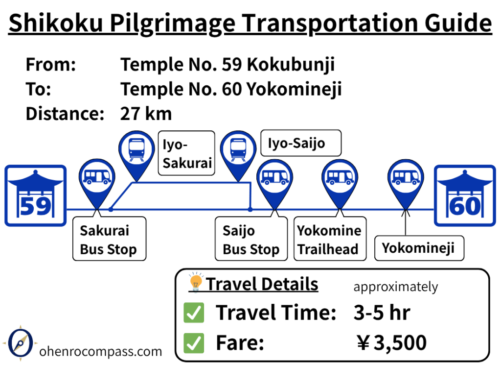
Find the train and bus route from Temple 59, Kokubunji, to Temple 60, Yokomineji. See fares, travel times, timetables, the Yokomineji shuttle bus, and tips for visiting Temples 61–64 first.
My Walking Experience
Yokomineji, located at an elevation of approximately 750 m (2,460 ft), is considered one of the most challenging Henro Korogashi sections in Ehime Prefecture.
Since the temple is about 30 km (18.6 miles) from Kokubunji, many walking pilgrims choose to stay overnight near Iyo-Miyoshi Station or Nyūgawa Station and begin the climb early the next morning.
From Kokubunji to Yunoura Onsen
After leaving Kokubunji, head first toward Yunoura Onsen.
The roadside station (Michi-no-Eki) along National Route 196 is a convenient place to rest or have a meal.
One point to watch for is that after passing the roadside station, you need to leave the national highway and take a small road on the right. Continuing along Route 196 will result in a longer detour, so be careful not to miss the turn.
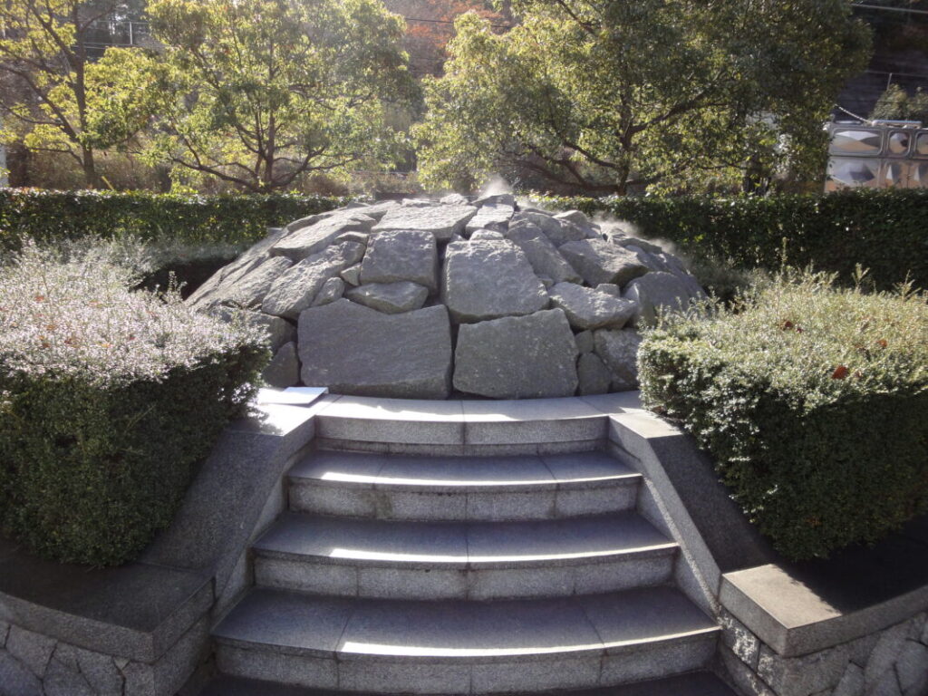
From Kōmyōji to the Nakayama River
About 10 km (6.2 miles) from Kokubunji, after crossing the railway tracks of the JR Yosan Line, you will reach Kōmyōji, a temple known for offering free lodging to pilgrims.
The accommodation is dormitory-style with bunk beds, and electrical outlets are available for use. I stayed there myself during my second walking pilgrimage and greatly appreciated the hospitality.
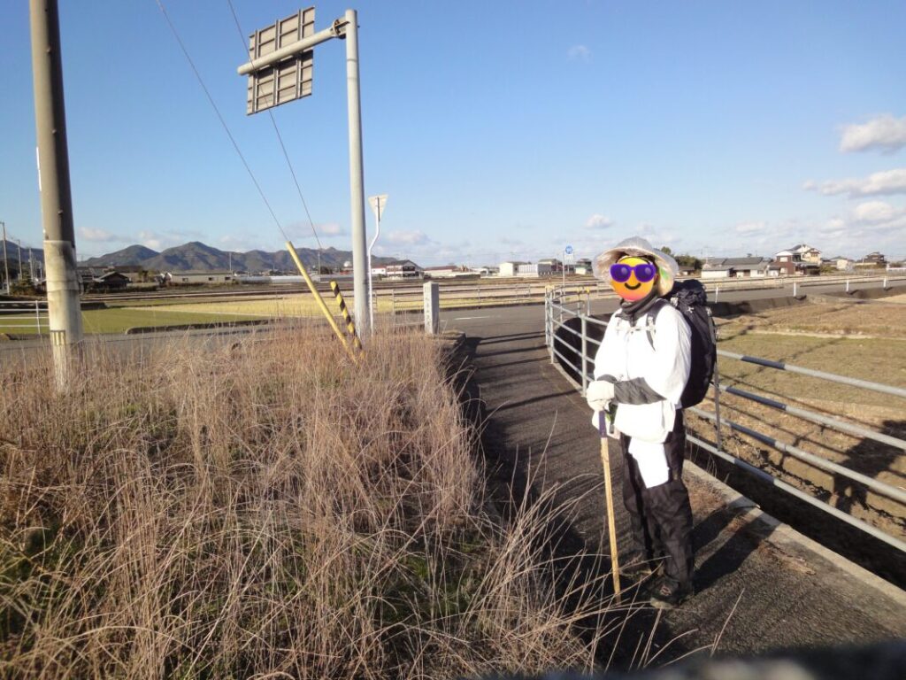
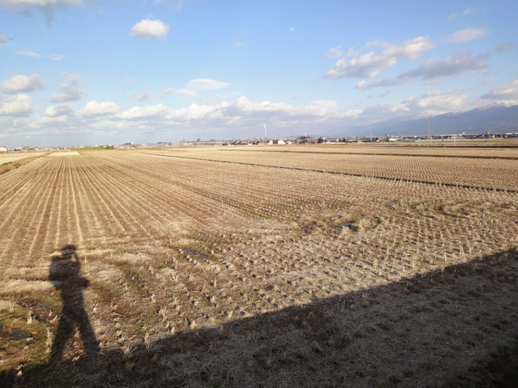
Beyond Kōmyōji, the route follows Prefectural Routes 150 and 151 southward. Residential areas gradually give way to open farmland, while the mountains of the Ishizuchi Range rise ahead in the distance.
I remember looking toward the mountains and thinking:
“Tomorrow, I’ll be climbing those mountains.”
I walked this section in the middle of winter, and the wind was exceptionally strong. With little shelter across the open fields, the cold wind quickly drained body heat, making it a surprisingly demanding stretch of the pilgrimage.
Last Supply Point Before Yokomineji
After crossing the Nakayama River, convenience stores and supermarkets become scarce.
For this reason, it is a good idea to purchase drinks, snacks, and other supplies before crossing the river.
During my first walking pilgrimage, I stayed at Hotel Shikokuya, located just beyond the river.
Leaving the hotel at 7:00 a.m., I was able to reach Yokomineji at around 10:30 a.m., making it a convenient place to stay before tackling the climb.

The Mountain Trail to Yokomineji
After crossing the Nakayama River, the ascent to Yokomineji finally begins.
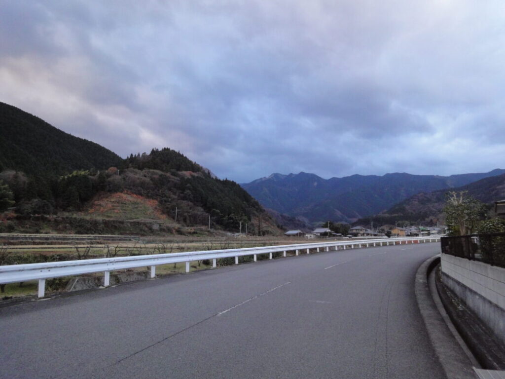
The route first follows the Myōtani River southward toward the trailhead, which is located at an elevation of approximately 300 m (984 ft). Although the approach follows paved roads at first, the surrounding mountains gradually draw closer, creating a growing sense that a serious mountain pilgrimage is about to begin.
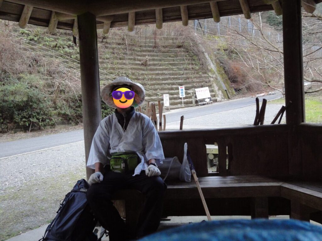
At the trailhead, there is a large henro hut and a well-maintained public restroom. It is a convenient place to rest and prepare before entering the mountain trail.
However, when I visited for the second time, there was a large beehive nearby. It is worth checking the area carefully before using the facilities.
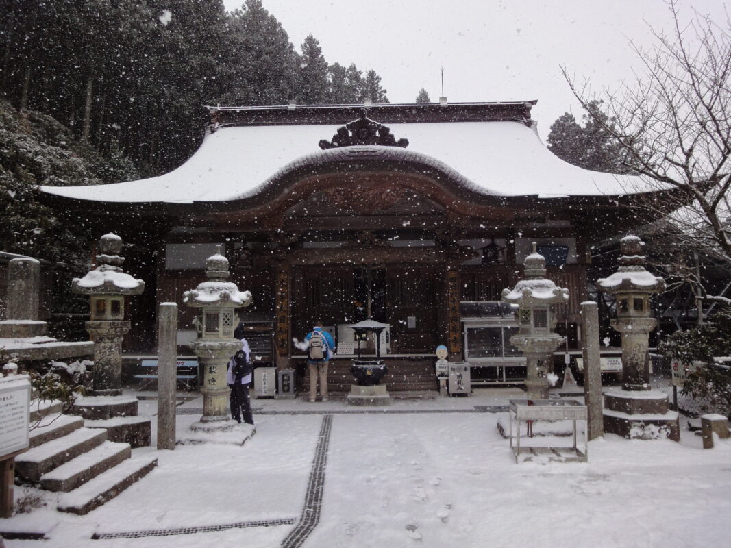
Snowy Yokomineji
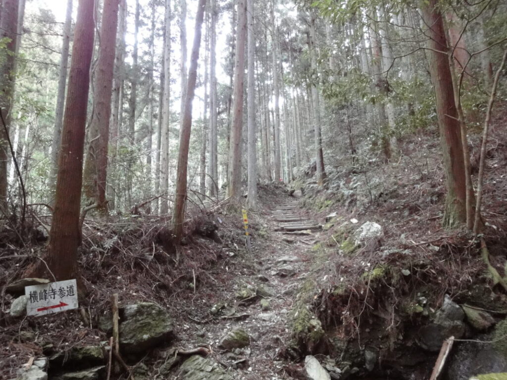
The mountain trail is well maintained, but the climb continues almost relentlessly all the way to the temple.
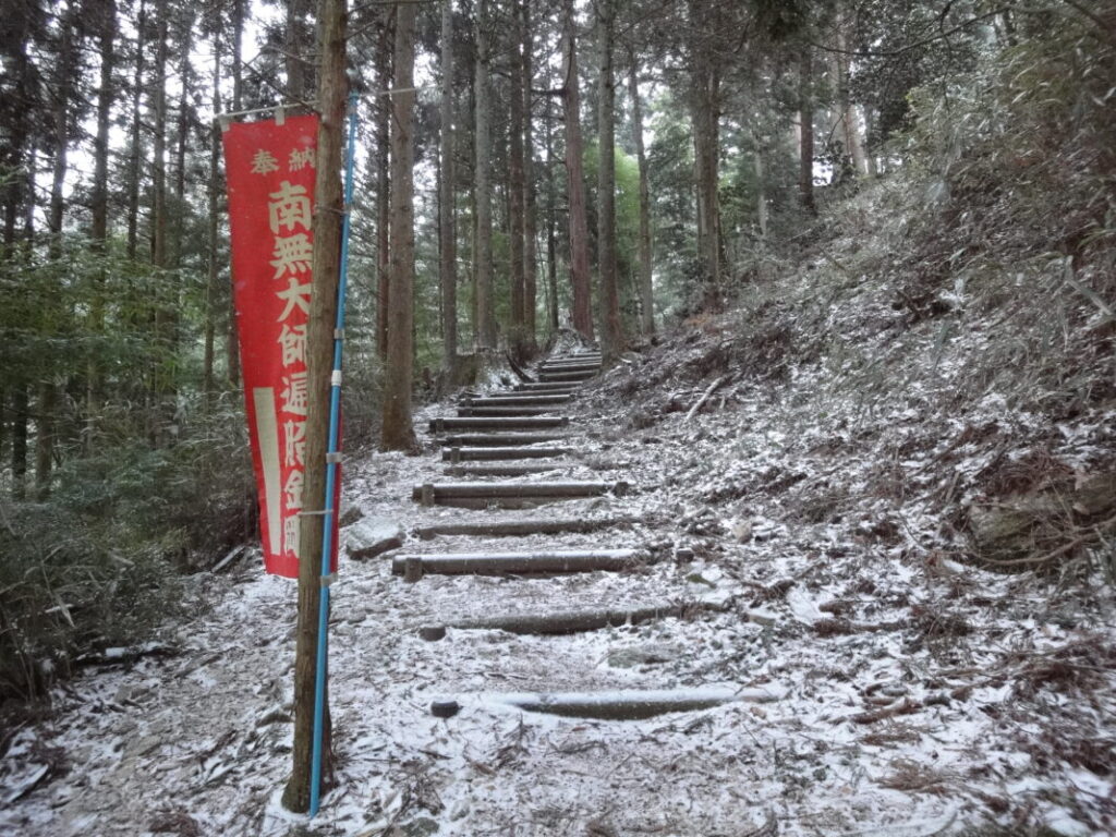
Along the route, red flags bearing the inscription “南無大師遍照金剛” appear from time to time, reassuring pilgrims that they are still on the correct pilgrimage path.
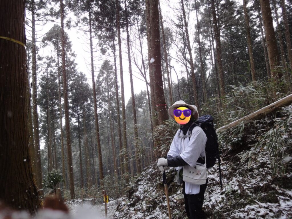
The trail winds through forests of tall cedar and cypress trees, climbing steadily higher into the mountains. At my pace, the ascent took about 1 hour and 30 minutes.
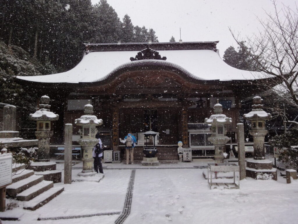
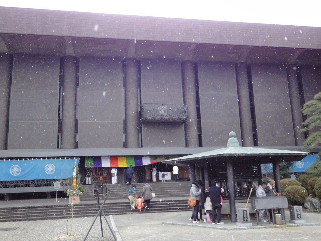
As I approached Yokomineji, snow began to fall and the scenery gradually changed into a winter landscape.
Then, faintly in the distance, I heard the sound of the temple bell.
“I’m almost there.”
I still remember the sense of relief I felt at that moment.
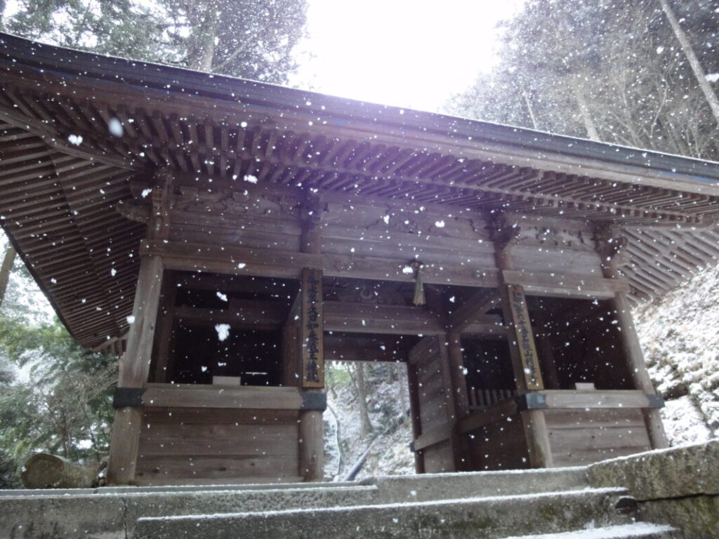
Yokomineji: A Mountain Temple High Above the Pilgrimage Route
Yokomineji is said to be a temple where Kūkai (Kōbō Daishi) practiced ascetic training when he was 24 years old. After walking this route myself, I felt that the challenging climb was truly worthy of that tradition.
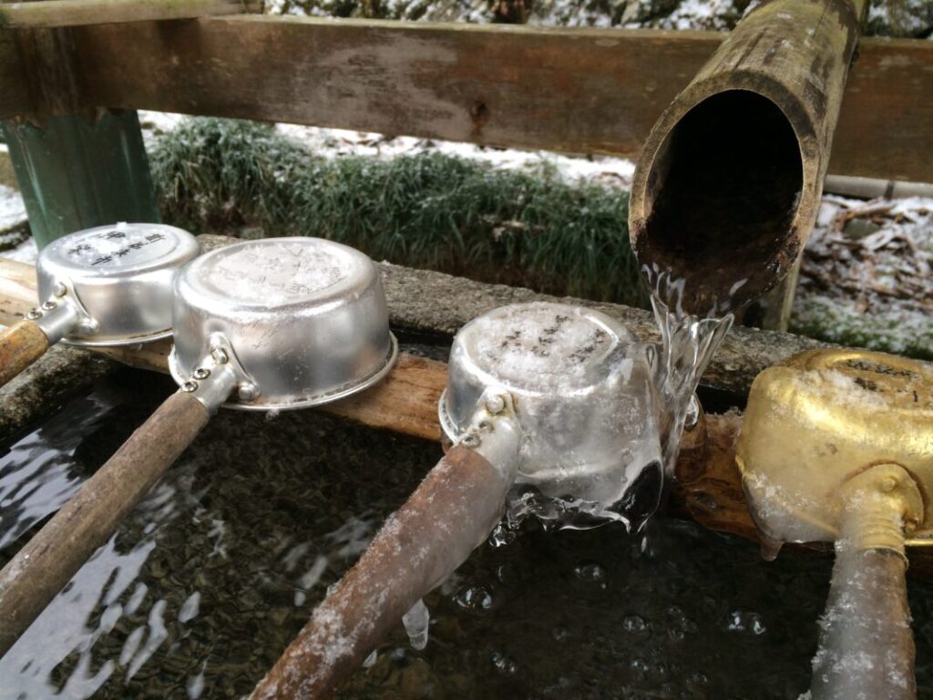
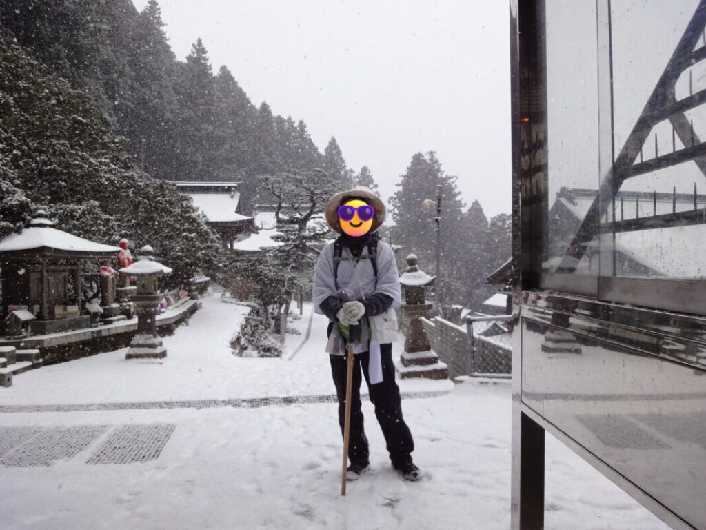
By the time I reached the temple grounds, around 5 cm (2 inches) of snow had accumulated, and the chōzuya purification basin was completely frozen. Even so, I saw several visitors inside the grounds, and I was amazed that people continued to make the difficult journey up to this remote mountain temple.
Inside the nokyōsho (pilgrimage stamp office), a stove was burning, allowing me to warm my frozen body. I was also kindly offered a cup of hot ginger tea as omotenashi (pilgrim hospitality). After such a demanding climb, that simple gesture of warmth and kindness was deeply appreciated.
Nearby Accommodation
If you plan to stay near Yokomineji or between the surrounding pilgrimage temples, see the article below.
Related Articles
Shikoku 88 Temple Pilgrimage Route: Full List, Distance & Walking Time Guide.
Temple List and Full Route
Comments