
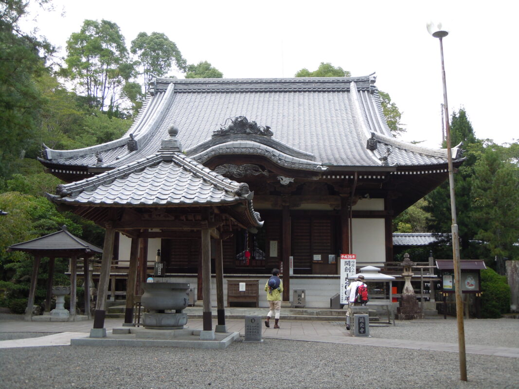
Enkoji Temple Information
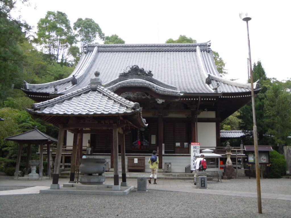
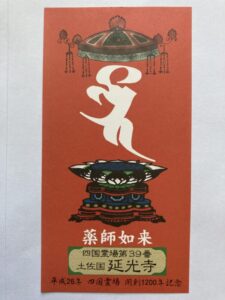
Goshuin
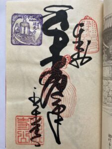
- Omie
- 1,200th Anniversary Edition
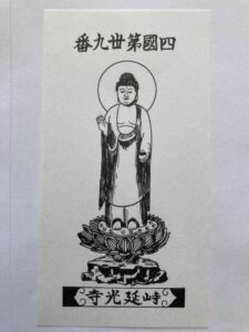
Basic Information
| Principal Deity | Yakushi Nyorai |
| Elevation | 40 m |
| Google Maps | MAP |
Accommodation
| Shukubo (Temple Lodging) | Not Available |
| Tsuyado (Free Pilgrim Shelter) | Not Available |
History & Highlights
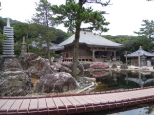
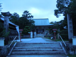
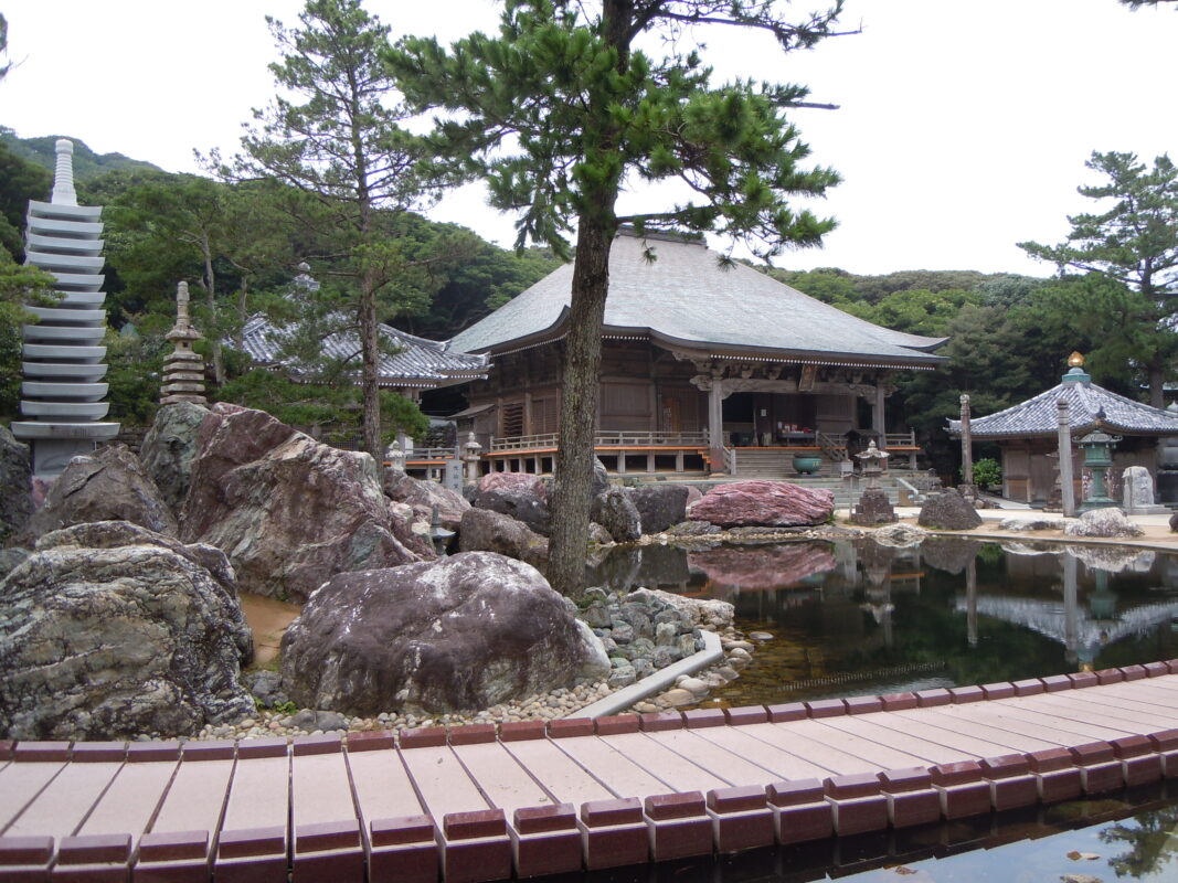
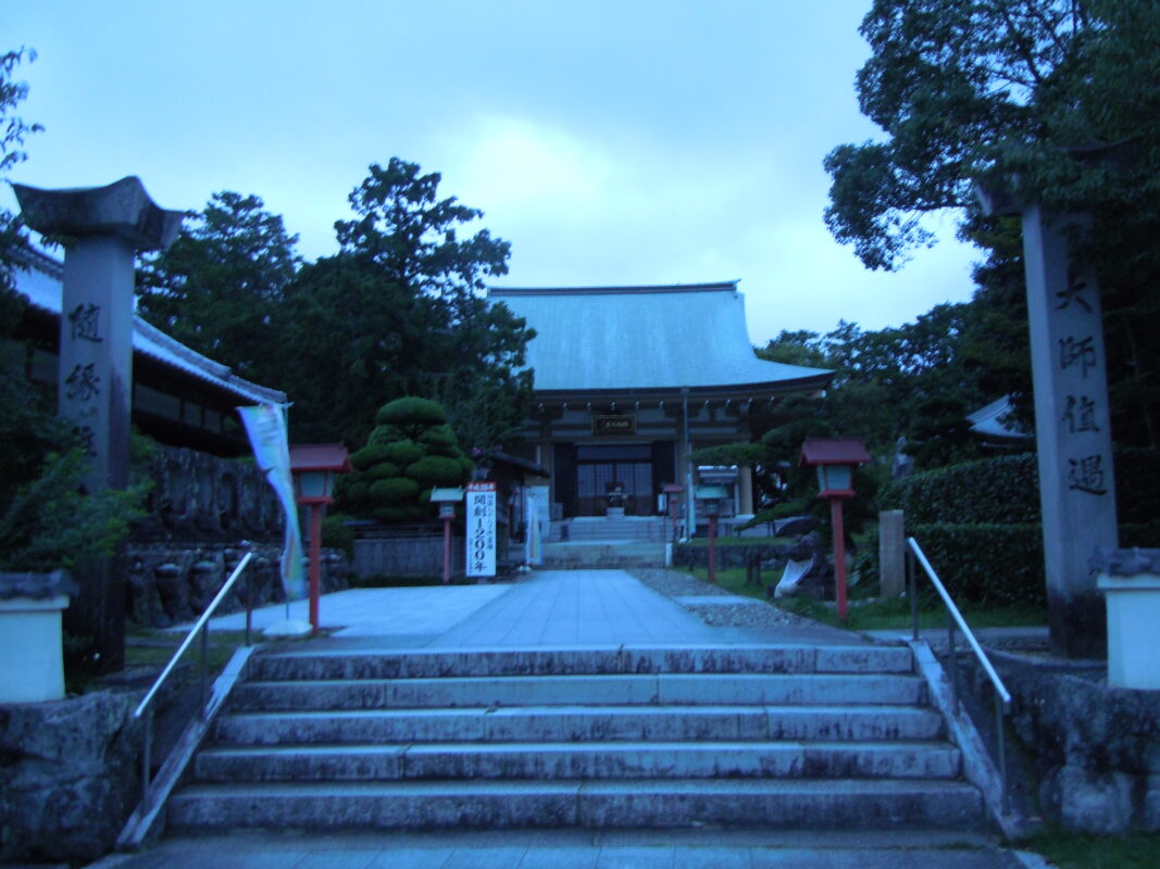
Enkoji is said to have been founded by Gyōki and later restored by Kōbō Daishi. The temple is best known for the legend of a red turtle that emerged carrying a temple bell on its back. Today, it is widely visited by worshippers praying for protection from misfortune and safe childbirth. Within the temple grounds is the Eye-Washing Well, a sacred spring associated with Kōbō Daishi.
Notes
There are two routes from Kongofukuji to Enkoji: the Mihara Village Route and the Tsukiyama Route.
Route Map, Distance & Travel Time
You can switch between the tabs to view the routes to the previous and next temples.
Select “Driving Route” from the map’s upper-left menu to display the driving route.
Click the Full Screen icon in the upper-right corner of the map to open it in Google Maps for a larger, easier-to-view map.
- From Previous Temple
- To Next Temple
Previous Temple: Kongofukuji
| Distance | 52.8 km |
| Walking | 15 hr 30 min |
| Driving | 1 hr 30 min |
Next Temple: Kanjizaiji
| Distance | 25.8 km |
| Walking | 8 hr 30 min |
| Driving | 40 min |
Transportation Guide
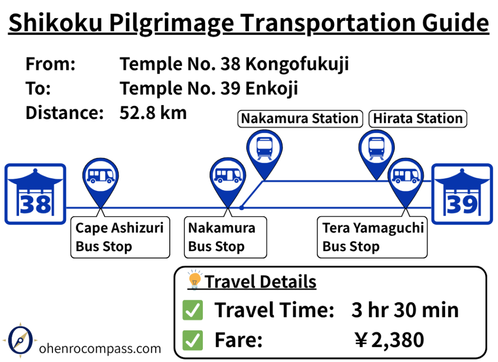
Learn how to travel from Temple 38 Kongofukuji to Temple 39 Enkoji on the Shikoku Pilgrimage. Find bus and train routes, timetables, fares, transfer information, and a recommended itinerary.
My Walking Experience
There are two main routes from Kongofukuji to Enkoji: the Mihara Village Route and the Tsukiyama Route. I have completed the Shikoku Pilgrimage twice on foot and have walked both routes myself. Each offers a different experience, so the best choice depends on your travel style and priorities.
Kongofukuji to Enkoji Route Comparison
| Route | Distance | Features | Recommended For |
|---|---|---|---|
| Mihara Village Route | Approx. 53 km (33 miles) | The shortest route, passing through the mountains | First-time walking pilgrims and those who want the most direct route |
| Tsukiyama Route | Approx. 73 km (45 miles) | Scenic coastal views, Tsukiyama Shrine, and other attractions | Pilgrims who want to enjoy the scenery and historical sites |
Mihara Village Route (Approx. 53 km / 33 miles)
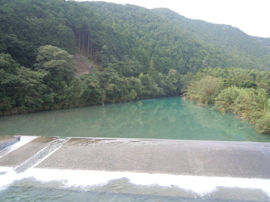
The Mihara Village Route follows the same road you took to reach Kongofukuji, retracing your steps for part of the journey. The key junction is at Shimonokae, about 20 km (12.4 miles) from Kongofukuji. Instead of crossing the bridge, turn onto Prefectural Route 21, which follows the river upstream.
From there, the route continues through a quiet river valley for about 30 km (18.6 miles). The scenery is rich in nature, but there are no convenience stores or major resupply points along this stretch. It’s a good idea to stock up on food and drinking water before leaving Shimonokae.
After passing through Mihara Village, you’ll arrive in the more developed Hirata area. Pass beneath the elevated JR Sukumo Line, then head west along National Route 56 until you see the sign for Enkoji. From there, turn north, and you’ll soon reach the temple.
Ichinose River along Prefectural Route 21
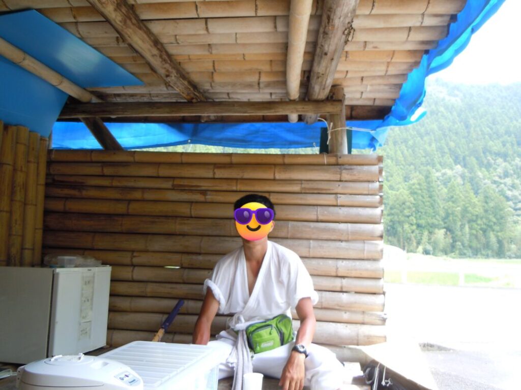
Yoshii Rest Area (33 km from Kongofukuji)
Tsukiyama Route (Approx. 73 km / 45 miles)
Although the Tsukiyama Route is about 20 km (12 miles) longer than the Mihara Village Route, it rewards you with spectacular coastal scenery and a visit to the historic Tsukiyama Shrine. If you have extra time, this is a highly rewarding alternative.
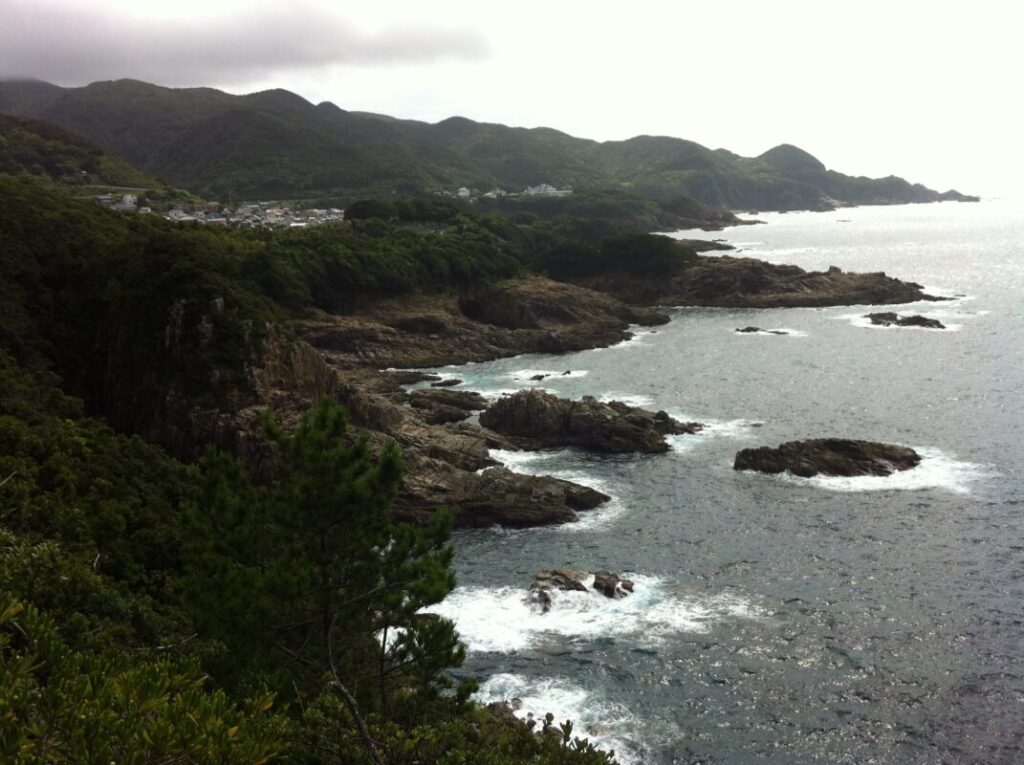
After leaving Kongofukuji, follow the road west around Cape Ashizuri. At around 12 km (7.5 miles), you’ll reach Tosashimizu City, where you’ll find a good selection of accommodations and restaurants. I stayed in a business hotel here. Tosashimizu is also famous for its seared bonito (katsuo no tataki), which is well worth trying.
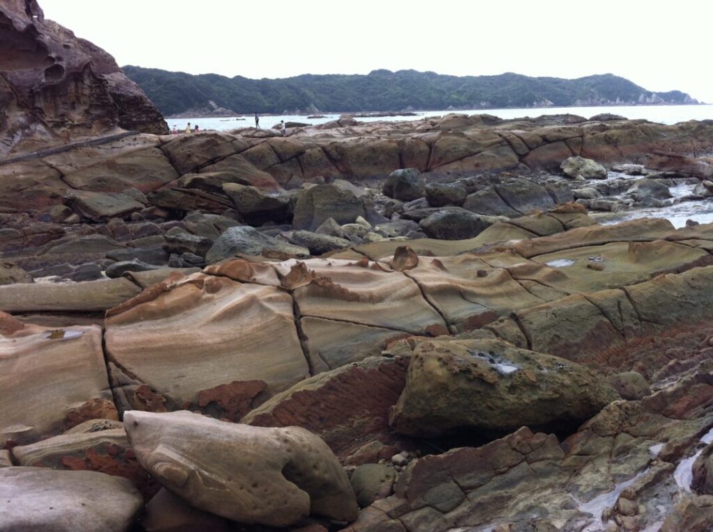
Continuing west along National Route 321, you’ll arrive at Tatsukushi after about 25 km (15.5 miles). This area is known for its remarkable wave-eroded rock formations, making it one of the most memorable coastal landscapes on the pilgrimage.
Coastline of Cape Ashizuri
Wave-eroded rock formations at Tatsukushi
Tsukiyama Shrine
If you plan to visit Tsukiyama Shrine, leave National Route 321 at around 38 km (23.6 miles). The route is well signposted, so it’s easy to find.
The shrine is home to a 1.5-meter (5-foot) crescent-shaped sacred stone. According to tradition, Kōbō Daishi performed spiritual training here during the Twenty-Third Night (Nijūsan’ya) in front of this sacred rock. The shrine has long been revered by local fishermen and remains an important place of worship.
Ōtsuki and Sukumo
After visiting the shrine, continue north along the coast. You’ll pass a campground, where I spent the night in my tent. Watching the sunset over the Pacific Ocean was unforgettable, and the campsite was popular with travelers as well as campers. Since I was the only person dressed in traditional pilgrim attire, several people asked if I was walking the pilgrimage, and we enjoyed chatting about my journey.
At around 50 km (31 miles), you’ll enter Ōtsuki, and at approximately 65 km (40 miles), you’ll reach Sukumo City. By this point, you’ll find plenty of accommodations, restaurants, and shops, making it an excellent place to rest and resupply. From central Sukumo, Enkoji is about 8 km (5 miles) to the east.
Highlights of Enkoji
Enkoji is best known for the legend of a red turtle that emerged from the Dragon King’s Palace carrying a temple bell on its back. This story is reflected in the temple’s goshuin (temple stamp), which features a turtle. Many pilgrims also collect the crane stamp at Temple 20, Kakurinji, and the turtle stamp at Enkoji on their white pilgrimage vest, creating the auspicious pairing of “the crane and the turtle”, traditional symbols of longevity and good fortune.
Walking pilgrims face several long-distance stages before reaching Enkoji, but arriving here brings a real sense of accomplishment. Completing your visit to the final temple in Kōchi Prefecture marks an important milestone on the Shikoku Pilgrimage before continuing into Ehime Prefecture.
Nearby Accommodation
If you plan to stay near Enkoji or between the surrounding pilgrimage temples, see the article below.
Related Articles
Shikoku 88 Temple Pilgrimage Route: Full List, Distance & Walking Time Guide.
Temple List and Full Route
Comments